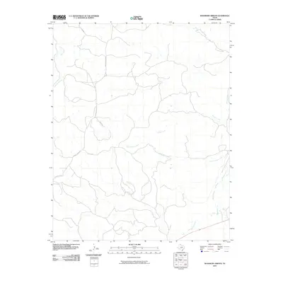
2010 Map of Washburn Arroyo
USGS Topo · Published 2010About this map
Red Deer Creek and its tributary system define this portion of the Texas Panhandle, where the landscape is marked by the intermittent drainage patterns characteristic of Roberts County. The map captures a rural ranching environment structured by a network of private and service roads, including Quarter Horse Rd and Lister Rd. The presence of Home Ranch Creek in the northwest suggests the long-standing ranching heritage of the region, where water sources were the primary anchor for land use and property boundaries.
Find a feature on this map
8 named features on this map. Tap any name to fly to it.
Don’t see what you’re looking for? This feature index may not catch every label — zoom into the map to look around manually.
Map Details
Editions of this 2010 Washburn Arroyo Map
This is the sole edition of this map. No revisions or reprints were ever made.
Other maps of this area

1954 · Amarillo
USGS Topo · 1:250,000

1958 · Amarillo
USGS Topo · 1:250,000

1967 · Mendota
USGS Topo · 1:24,000

1967 · Young Ranch
USGS Topo · 1:24,000

1967 · Lora
USGS Topo · 1:24,000

1972 · Washburn Arroyo
USGS Topo · 1:24,000

1972 · Horse Creek North
USGS Topo · 1:24,000

1972 · Canadian West
USGS Topo · 1:24,000

1972 · East Dry Creek
USGS Topo · 1:24,000

1972 · Miami
USGS Topo · 1:24,000