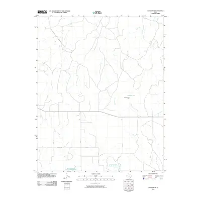
2010 Map of Canadian SE
USGS Topo · Published 2010About this map
Cleveland Lake and its associated Cleveland Lake Dam anchor the hydrology of this Hemphill County landscape, where the High Plains transition into a network of vital watercourses. The drainage patterns are defined by the Dry Fork Washita River and several significant tributaries, including Big Timber Creek, Elk Creek, and McKay Creek. The map documents a mid-century infrastructure of water management, evidenced by the Soil Conservation Service Site 9 Reservoir and Soil Conservation Service Site 11 Reservoir.
Find a feature on this map
21 named features on this map. Tap any name to fly to it.
Don’t see what you’re looking for? This feature index may not catch every label — zoom into the map to look around manually.
Map Details
Editions of this 2010 Canadian SE Map
This is the sole edition of this map. No revisions or reprints were ever made.
Other maps of this area

1954 · Amarillo
USGS Topo · 1:250,000

1958 · Amarillo
USGS Topo · 1:250,000

1967 · Mendota
USGS Topo · 1:24,000

1967 · Dads Creek
USGS Topo · 1:24,000

1967 · Lake June
USGS Topo · 1:24,000

1967 · Young Ranch
USGS Topo · 1:24,000

1967 · Blue Ridge School
USGS Topo · 1:24,000

1967 · Canadian SE
USGS Topo · 1:24,000

1972 · Canadian West
USGS Topo · 1:24,000

1972 · Canadian East
USGS Topo · 1:24,000