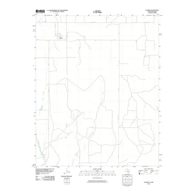
2010 Map of Allison
USGS Topo · Published 2010About this map
Allison stands as the primary community in this portion of the Texas Panhandle, positioned just south of the County Line Rd and north of the drainage systems of Murtaugh Creek and Williams Creek. The landscape is defined by the rigid geometry of the section-line road network, including Co Rd 28 and Co Rd A, which carve the high plains into manageable agricultural blocks. This pattern of land use is interrupted only by the winding paths of intermittent waterways like Hackberry Creek and the small catchments of Frye Lakes. The 2010 survey illustrates the deep integration of state and county road systems, such as FM 592 and FM 1046, which facilitate transit across this sparsely populated ranching and farming territory near the Oklahoma border.
Find a feature on this map
12 named features on this map. Tap any name to fly to it.
Don’t see what you’re looking for? This feature index may not catch every label — zoom into the map to look around manually.
Map Details
Editions of this 2010 Allison Map
This is the sole edition of this map. No revisions or reprints were ever made.
Other maps of this area

1954 · Amarillo
USGS Topo · 1:250,000

1955 · Clinton
USGS Topo · 1:250,000

1957 · Clinton
USGS Topo · 1:250,000

1958 · Amarillo
USGS Topo · 1:250,000

1960 · Sweetwater
USGS Topo · 1:62,500

1961 · Reydon
USGS Topo · 1:62,500

1963 · Allison
USGS Topo · 1:24,000

1963 · Kelton
USGS Topo · 1:24,000

1963 · Kelton NW
USGS Topo · 1:24,000

1963 · Allison SW
USGS Topo · 1:24,000