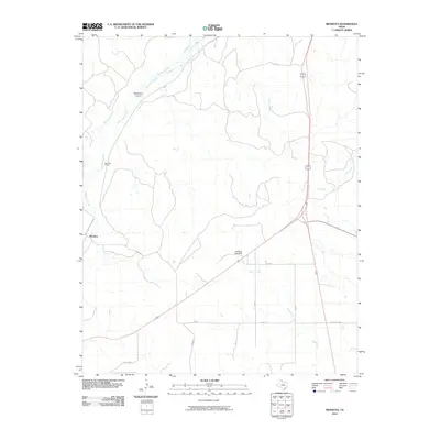
2010 Map of Mendota
USGS Topo · Published 2010About this map
Mendota and the nearby Mendota Siding serve as the primary focus in this portion of the Texas Panhandle, situated along the drainage of Red Deer Creek. The landscape is defined by its intermittent watercourses and technical installations, such as the industrial Gas Plant located in the southwestern corner. Transportation and infrastructure are central to the layout, with ranch roads and names like Arlington and Midway indicating the rural network of Hemphill County.
Find a feature on this map
17 named features on this map. Tap any name to fly to it.
Don’t see what you’re looking for? This feature index may not catch every label — zoom into the map to look around manually.
Map Details
Editions of this 2010 Mendota Map
This is the sole edition of this map. No revisions or reprints were ever made.
Other maps of this area

1954 · Amarillo
USGS Topo · 1:250,000

1958 · Amarillo
USGS Topo · 1:250,000

1967 · Mendota
USGS Topo · 1:24,000

1967 · Dads Creek
USGS Topo · 1:24,000

1967 · Young Ranch
USGS Topo · 1:24,000

1967 · Canadian SE
USGS Topo · 1:24,000

1967 · Lora
USGS Topo · 1:24,000

1972 · Washburn Arroyo
USGS Topo · 1:24,000

1972 · Canadian West
USGS Topo · 1:24,000

1972 · East Dry Creek
USGS Topo · 1:24,000