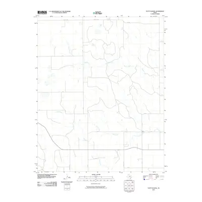
2010 Map of Totty School
USGS Topo · Published 2010About this map
Totty School stands as the central landmark in this portion of Gray County, situated along the upper reaches of Cowboy Creek. The landscape is defined by the branching drainage systems of several significant waterways, including the winding course of Sweetwater Creek and the southern flow of Graham Creek. These creek beds carve through the plains, creating the primary topographical relief in an area otherwise dominated by a rigid grid of rural roads and ranching tracks.
Find a feature on this map
21 named features on this map. Tap any name to fly to it.
Don’t see what you’re looking for? This feature index may not catch every label — zoom into the map to look around manually.
Map Details
Editions of this 2010 Totty School Map
This is the sole edition of this map. No revisions or reprints were ever made.
Other maps of this area

1954 · Amarillo
USGS Topo · 1:250,000

1958 · Amarillo
USGS Topo · 1:250,000

1962 · Pond Creek
USGS Topo · 1:24,000

1962 · Spring Creek
USGS Topo · 1:24,000

1962 · Pond Creek NW
USGS Topo · 1:24,000

1963 · Mobeetie
USGS Topo · 1:24,000

1966 · Laketon
USGS Topo · 1:24,000

1967 · Young Ranch
USGS Topo · 1:24,000

1967 · Tody School
USGS Topo · 1:24,000

1967 · Lora
USGS Topo · 1:24,000