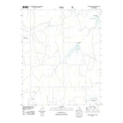
2010 Map of Hackberry Creek
USGS Topo · Published 2010About this map
The Washita River snakes across the northern portion of this landscape in Roger Mills County, defining a region where water management is central to the terrain. The 2010 geography is heavily marked by several Soil Conservation Service projects, including the Soil Conservation Service Site 32 Reservoir and Huston Stickley Lake, reflecting a mid-to-late 20th-century legacy of watershed protection and flood control in the Southern Plains.
Find a feature on this map
18 named features on this map. Tap any name to fly to it.
Don’t see what you’re looking for? This feature index may not catch every label — zoom into the map to look around manually.
Map Details
Editions of this 2010 Hackberry Creek Map
This is the sole edition of this map. No revisions or reprints were ever made.
Other maps of this area

1954 · Amarillo
USGS Topo · 1:250,000

1955 · Clinton
USGS Topo · 1:250,000

1957 · Clinton
USGS Topo · 1:250,000

1958 · Amarillo
USGS Topo · 1:250,000

1961 · Reydon
USGS Topo · 1:62,500

1963 · Allison
USGS Topo · 1:24,000

1963 · Allison SW
USGS Topo · 1:24,000

1966 · Durham
USGS Topo · 1:24,000

1967 · Gem
USGS Topo · 1:24,000

1967 · Hackberry Creek
USGS Topo · 1:24,000