Old Maps of Gem, Texas for Genealogy
Trace your family roots with 9 historic maps of Gem. These high-res maps reveal old neighborhoods, homesites, landmarks, and streets — helping you uncover where your ancestors lived and how the area evolved over time.
- Explore historic neighborhoods: Identify where your relatives may have lived in the 1800s or 1900s.
- Compare maps over time: Trace the changes in streets, buildings, and landmarks for multi-generational research.
- Perfect for genealogy & ancestry research: Used by family historians and researchers to map out lineage and migration.
These maps are an incredible resource for exploring your personal connection to Gem's past.
Gem, TX maps
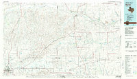
(9)- 1954 Map of Amarillo, 1966 Print
 1954 Amarillo1966 Print · USGSThe Texas Panhandle in the mid-1960s shows a landscape of rising industrial power and deep-rooted ranching tradition. Local historians can trace the paths of the Panhandle and Santa Fe railroad or locate sites like the Pantex Ordnance Plant and Mobeetie.2 unique versions available
 - 1958 Map of Amarillo
 1958 Amarillo1958 Print · USGSThe Texas Panhandle in the mid-1950s reveals a landscape of expanding military installations and oil-rich rail towns. Local historians can trace the development of Amarillo Air Force Base or locate smaller settlements like Magic City and New Mobeetie.
 - 1967 Map of Gem, 1969 Print
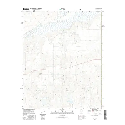
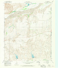 1967 Gem1969 Print · USGSThe Texas-Oklahoma borderlands in the late 1960s are defined by the wide, sandy course of the Canadian River. Researchers can trace the rural settlement of Gem, locate the Prairie Dell Cem, and find local landmarks like Rattlesnake Hill.
 - 1982 Map of Pampa, 1983 Print
 1982 Pampa1983 Print · USGSThe Texas Panhandle in the early eighties shows a landscape shaped by petroleum and ranching along the Canadian River. Genealogists and local historians can trace the paths of the Atchison Topeka and Santa Fe railroad through Pampa, Mobeetie, and Heaton.
 - 2010 Map of Gem, 2010 Print
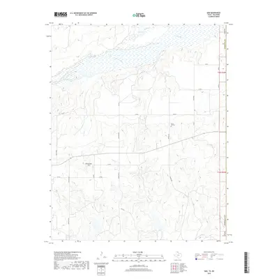
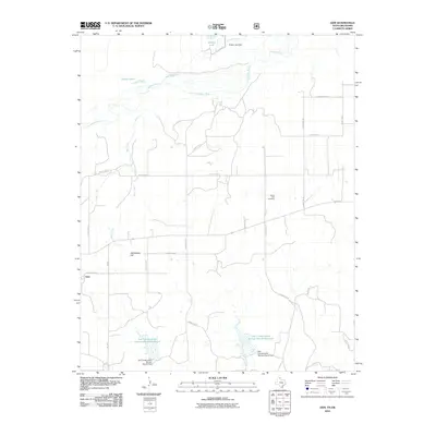 2010 Gem2010 Print · USGSCovers Gem, including Roger Mills County, Hemphill County, and other nearby areas
 - 2012 Map of Gem, 2012 Print
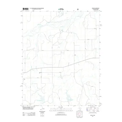 2012 Gem2012 Print · USGSCovers Gem, including Roger Mills County, Hemphill County, and other nearby areas
 - 2016 Map of Gem, 2016 Print
 2016 Gem2016 Print · USGSCovers Gem, including Roger Mills County, Hemphill County, and other nearby areas
 - 2019 Map of Gem, 2019 Print
 2019 Gem2019 Print · USGSCovers Gem, including Roger Mills County, Hemphill County, and other nearby areas
 - 2022 Map of Gem, 2022 Print
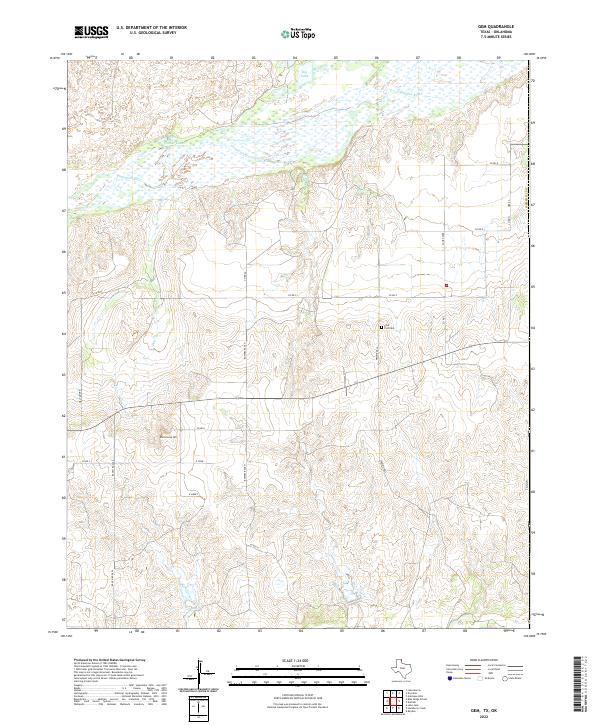 2022 Gem2022 Print · USGSHemphill County's river-carved plains are documented in this recent survey, showing the deep-rooted ranching tradition of the Texas Panhandle. Researchers can trace land ownership at Bowers Ranch and find the historic Eller Flat Cem near Prairie Dell.
End of results
Showing maps 1-9 of 9
Top cities near Gem
Frequently asked questions
- What are the different types of historical maps available for Gem?
- What is the oldest map of Gem?
- Where can I purchase historical maps of Gem for my home or office?
- Where can I download high-res historical maps of Gem?
- Are there historical topographic maps available for Gem?
- Is there historical aerial imagery available for Gem?
- Where are historical maps of Gem sourced from?