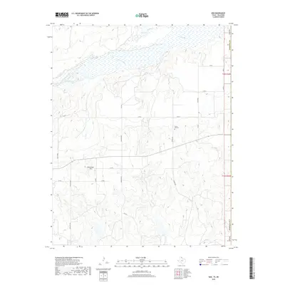
2019 Map of Gem
USGS Topo · Published 2019About this map
The Canadian River cuts across the northern landscape of this Panhandle region, feeding into a network of wetlands including Big Lake and Timber Lakes. This area of Hemphill County is characterized by a mix of wide river valleys and the rising elevations of Rattlesnake Hill. The map documents a rural landscape defined by ranching and local history, where isolated settlements and family landholdings like Bowers Ranch are connected by a grid of county roads.
Find a feature on this map
27 named features on this map. Tap any name to fly to it.
Don’t see what you’re looking for? This feature index may not catch every label — zoom into the map to look around manually.
Map Details
Editions of this 2019 Gem Map
This is the sole edition of this map. No revisions or reprints were ever made.
Other maps of this area

1954 · Amarillo
USGS Topo · 1:250,000

1955 · Clinton
USGS Topo · 1:250,000

1957 · Clinton
USGS Topo · 1:250,000

1958 · Amarillo
USGS Topo · 1:250,000

1961 · Reydon
USGS Topo · 1:62,500

1966 · Antelope Hills
USGS Topo · 1:24,000

1966 · Durham
USGS Topo · 1:24,000

1967 · Gem
USGS Topo · 1:24,000

1967 · Hackberry Creek
USGS Topo · 1:24,000

1967 · Lake June
USGS Topo · 1:24,000