Old Maps of Allison, Texas for Hiking & Exploration
Hike through history with 13 historic maps of Allison. Explore old trails, ghost towns, and forgotten backroads — perfect for outdoor adventurers and local explorers.
- Rediscover forgotten places: Map out old mining camps, roads, and footpaths that no longer exist on modern maps.
- Layer with modern tools: Combine with LiDAR or satellite views to plan hikes through historical terrain.
- Made for exploration: Popular among hikers, overlanders, and local history lovers.
Use these maps to find adventure and explore the hidden past of Allison.
Allison, TX maps
(13)- 1891 Map of Weatherford
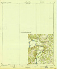
 1891 Weatherford1891 Print · USGSParker County and the surrounding ranchlands are shown here in the 1890s as the rail network transformed the region. Researchers can trace early river transport at Powell Ferry or locate vanished sites like Veal Station, Center Mill, and the Bear Creek P.O.
 - 1893 Map of Weatherford
 1893 Weatherford1893 Print · USGSParker County was at a pivotal turning point in the late nineteenth century as railroads began to stitch together the North Texas cattle country. Genealogists and local historians can trace early crossings like Powell Ferry and landmarks like Center Mill or Veal Station.5 unique versions available
 - 1931 Map of Dennis
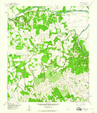
 1931 Dennis1931 Print · USGSThe Brazos River winds along the Parker and Hood County line in the 1920s, a landscape defined by riverside homesteads. Genealogists can trace family roots through rural landmarks like Walker Sch, Nightower Bridge, and the community of Robertson.
 - 1954 Map of Dallas, 1963 Print
 1954 Dallas1963 Print · USGSNorth Texas in the mid-fifties and early sixties reveals a landscape of rapid urban growth and water management. Genealogists and historians can trace the evolution of the metroplex through landmarks like Hensley Field, Boles Orphan Home, and the Texas & Pacific RR.4 unique versions available
 - 1958 Map of Dallas
 1958 Dallas1958 Print · USGSNorth Texas in the late fifties shows the dramatic expansion of the Metroplex as it absorbs surrounding farm towns. Genealogists and historians can trace old rail lines like the Missouri-Kansas-Texas and locate early lakefront developments at Eagle Mountain Lake and Lake Worth Village.
 - 1959 Map of Dennis, 1960 Print
 1959 Dennis1960 Print · USGSThe Brazos River valley in Parker and Hood Counties was a landscape of river crossings and family ranchlands in the late 1950s. Genealogists can trace rural life through Holder Cem and Buckner Cem, or locate river fords like Maxwell Crossing.3 unique versions available
 - 1959 Map of Dennis, 1960 Print
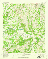 1959 Dennis1960 Print · USGSParker and Hood Counties are shown in the late fifties as the Brazos River meanders through a landscape of historic crossings and valley settlements. Researchers can trace rural lineages through numerous sites like Tin Top Sch, Center Mill, and the Bethel Cem.
 - 1985 Map of Fort Worth
 1985 Fort Worth1985 Print · USGSMid-1980s Tarrant County and Parker County emerge from a transition between urban sprawl and rural cattle country. Researchers can trace the expansion of Fort Worth and Arlington alongside older landmarks like Nebo Mtn and Kikapoo Falls.2 unique versions available
 - 2010 Map of Dennis, 2010 Print
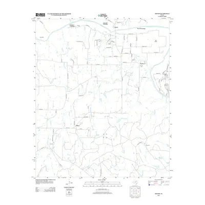
 2010 Dennis2010 Print · USGSCovers Allison, including Maxwell Crossing, Buckner, and other nearby areas
 - 2013 Map of Dennis, 2013 Print
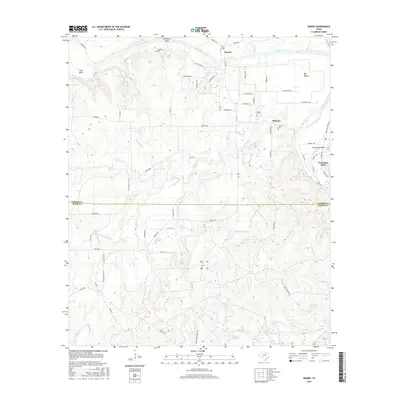
 2013 Dennis2013 Print · USGSCovers Allison, including Maxwell Crossing, Buckner, and other nearby areas
 - 2016 Map of Dennis, 2016 Print
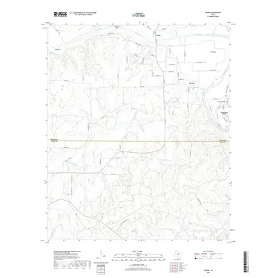
 2016 Dennis2016 Print · USGSCovers Allison, including Maxwell Crossing, Buckner, and other nearby areas
 - 2019 Map of Dennis, 2019 Print
 2019 Dennis2019 Print · USGSCovers Allison, including Maxwell Crossing, Buckner, and other nearby areas
 - 2022 Map of Dennis, 2022 Print
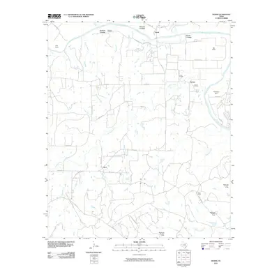
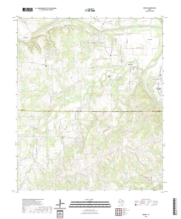 2022 Dennis2022 Print · USGSThe Brazos River meanders across the Parker and Hood county line in this contemporary landscape. Genealogists and local historians can trace family roots through several rural burial sites, including Stephens Cem, Morton Cem, and Allison Cem.
End of results
Showing maps 1-13 of 13
Top cities near Allison
- Weatherford historical maps
- Granbury historical maps
- Tolar historical maps
- Lipan historical maps
- Millsap historical maps
- Stephenville Country Club Lake historical maps
Frequently asked questions
- What are the different types of historical maps available for Allison?
- What is the oldest map of Allison?
- Where can I purchase historical maps of Allison for my home or office?
- Where can I download high-res historical maps of Allison?
- Are there historical topographic maps available for Allison?
- Is there historical aerial imagery available for Allison?
- Where are historical maps of Allison sourced from?