Old Maps of Harpers Crossing, Texas for Metal Detecting
Plan your next treasure hunt with 10 historic maps of Harpers Crossing. Find old homesites, ghost towns, trails, and gathering spots that may be lost to time — perfect for identifying promising metal detecting locations.
- Locate forgotten sites: Uncover places like long-lost settlements, abandoned rail lines, or gathering spots.
- Plan better hunts: Use map overlays combined with LiDAR or satellite views to narrow in on historically rich areas.
- Made for detectorists: Thousands of hobbyists use these maps to discover relics, coins, and hidden history.
Use these historic maps to boost your research and find new opportunities beneath the surface of Harpers Crossing.
Harpers Crossing, TX maps
(10)- 1953 Map of Texarkana, 1964 Print
 1953 Texarkana1964 Print · USGSThe Texas-Arkansas borderlands are captured here in the mid-fifties, during a decade of massive military and hydraulic engineering projects. Genealogists and researchers can locate family landmarks like Old Boston Cem, Siloam Ch, and the vast Red River Arsenal.4 unique versions available
 - 1956 Map of Texarkana
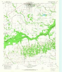
 1956 Texarkana1956 Print · USGSThe Ark-La-Tex borderlands come alive in the mid-fifties, showing the transition from a rail-dependent rural economy to a post-war industrial landscape. Researchers can trace the massive Red River Ordnance Depot and find towns like Talco, Bogata, and Naples.
 - 1964 Map of Cooper South, 1968 Print
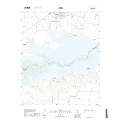
 1964 Cooper South1968 Print · USGSDelta and Hopkins counties in the mid-1960s are defined by the river bottom and the iron rails of the Southern Pacific. Genealogists and local historians can trace rural life through the Free Hope Ch and old burial sites like Dawson Cem or Hickory Grove Cem.
 - 1985 Map of Sulphur Springs
 1985 Sulphur Springs1985 Print · USGSNortheast Texas in the mid-eighties shows a landscape transitioning between its deep-rooted rail towns and a new era of reservoir development. Genealogists and historians can trace family locations near Shooks Chapel, the rural Farmers Academy, and the banks of the South Sulphur River.
 - 1991 Map of Sulphur Springs
 1991 Sulphur Springs1991 Print · USGSNortheast Texas in the early nineties shows a transition from rail-dependent agriculture to a landscape defined by massive reservoirs. Researchers can trace rural lineages through sites like Gafford Chapel and the Forest Academy Cem, or follow the path of the St Louis Southwestern RR.
 - 2010 Map of Cooper South, 2010 Print
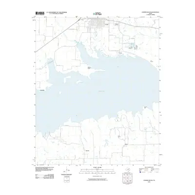 2010 Cooper South2010 Print · USGSCovers Harpers Crossing, including Cooper, Posey, and other nearby areas
 - 2013 Map of Cooper South, 2013 Print
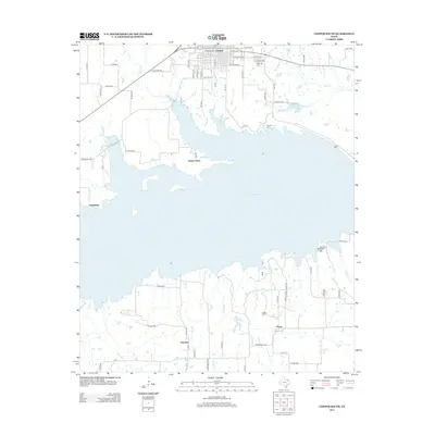 2013 Cooper South2013 Print · USGSCovers Harpers Crossing, including Cooper, Posey, and other nearby areas
 - 2016 Map of Cooper South, 2016 Print
 2016 Cooper South2016 Print · USGSCovers Harpers Crossing, including Cooper, Posey, and other nearby areas
 - 2019 Map of Cooper South, 2019 Print
 2019 Cooper South2019 Print · USGSCovers Harpers Crossing, including Cooper, Posey, and other nearby areas
 - 2022 Map of Cooper South, 2022 Print
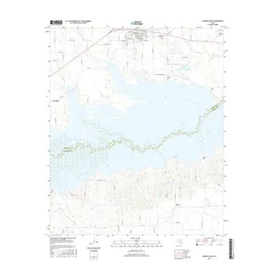
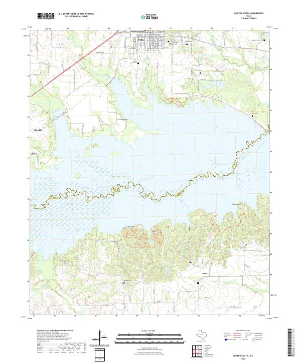 2022 Cooper South2022 Print · USGSDelta County enters the twenty-first century with its landscape defined by the waters of the South Sulphur River and the historic seat of Cooper. Genealogists can trace family roots at Yates - Methodist Protestant Cem or explore early settlements like Klondike and Posey.
End of results
Showing maps 1-10 of 10
Top cities near Harpers Crossing
- Sulphur Springs historical maps
- Commerce historical maps
- Cooper historical maps
- Cumby historical maps
- Roxton historical maps
- Tira historical maps
See more
Frequently asked questions
- What are the different types of historical maps available for Harpers Crossing?
- What is the oldest map of Harpers Crossing?
- Where can I purchase historical maps of Harpers Crossing for my home or office?
- Where can I download high-res historical maps of Harpers Crossing?
- Are there historical topographic maps available for Harpers Crossing?
- Is there historical aerial imagery available for Harpers Crossing?
- Where are historical maps of Harpers Crossing sourced from?