2000s (21st Century) Maps of Hagerville, Texas
Explore 6 historic maps of Hagerville from the 2000s (21st Century). These maps offer a rare glimpse into what life looked like during the 2000s — showing old roads, neighborhoods, homes, and landmarks that have changed or disappeared over time.
Whether you're researching your family's past, planning a metal detecting trip, or studying how Hagerville's landscape evolved across the 2000s, these high-resolution maps are a powerful tool for exploring the history of this region.
- Focus on a specific era: All maps on this page are from the 2000s, giving you a focused view of this time period.
- See what’s changed: Compare century-old streets, trails, and buildings to today's modern landscape using overlays and satellite layers.
- Research with precision: Use these maps for genealogy, historical research, land use analysis, or educational projects.
- View, download, or print: Maps are fully viewable online in high resolution, and can be downloaded or printed for your own records.
Start exploring Hagerville's history through authentic maps from the 2000s. This is your window into the past.
Hagerville, TX maps
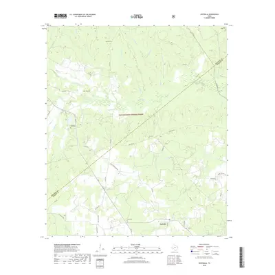
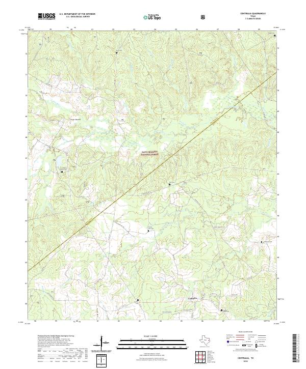
(6)- 2004 Map of Centralia, 2006 Print
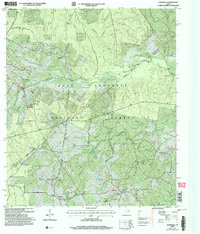 2004 Centralia2006 Print · USGSDeep in the East Texas Piney Woods during the early 2000s, this area shows a landscape defined by the Davy Crockett National Forest. Genealogists can trace family landmarks and rural communities like Nogalus, Centralia, and the Old Ivy Ch.
 - 2010 Map of Centralia, 2010 Print
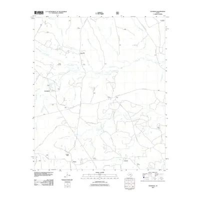 2010 Centralia2010 Print · USGSCovers Hagerville, including Centralia, Nogalus, and other nearby areas
 - 2013 Map of Centralia, 2013 Print
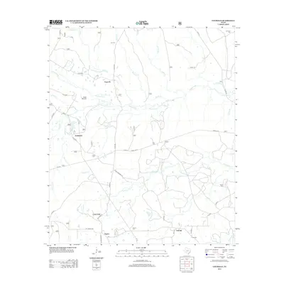 2013 Centralia2013 Print · USGSCovers Hagerville, including Centralia, Nogalus, and other nearby areas
 - 2016 Map of Centralia, 2016 Print
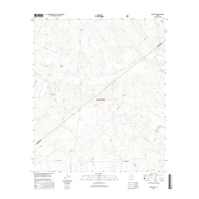 2016 Centralia2016 Print · USGSCovers Hagerville, including Centralia, Nogalus, and other nearby areas
 - 2019 Map of Centralia, 2019 Print
 2019 Centralia2019 Print · USGSCovers Hagerville, including Centralia, Nogalus, and other nearby areas
 - 2022 Map of Centralia, 2022 Print
 2022 Centralia2022 Print · USGSCentralia and the surrounding piney woods are captured in this 2022 survey as the landscape straddles the Houston and Trinity County line. Family historians can trace local roots through numerous rural burial grounds like Enon Cem, Calvary Cem, and Pisgah Cem nestled within the Davy Crockett National Forest.
End of results
Showing maps 1-6 of 6
Top cities near Hagerville
Frequently asked questions
- What are the different types of historical maps available for Hagerville?
- What is the oldest map of Hagerville?
- Where can I purchase historical maps of Hagerville for my home or office?
- Where can I download high-res historical maps of Hagerville?
- Are there historical topographic maps available for Hagerville?
- Is there historical aerial imagery available for Hagerville?
- Where are historical maps of Hagerville sourced from?