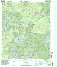
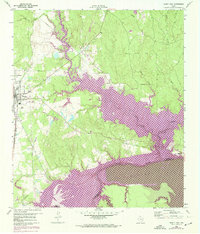
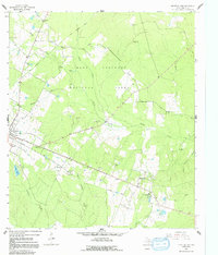
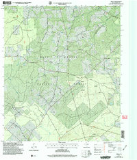
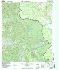
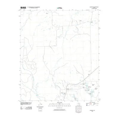
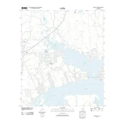
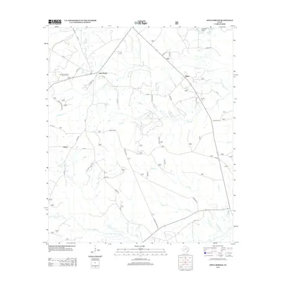
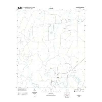
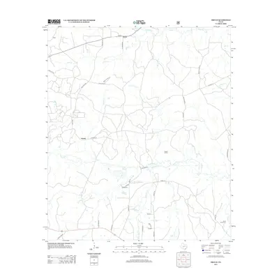
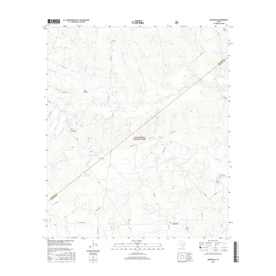
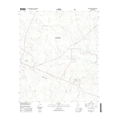
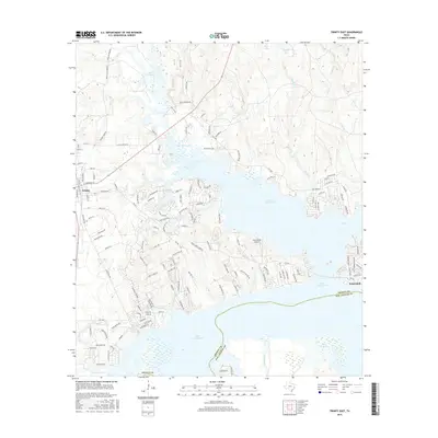
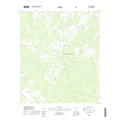
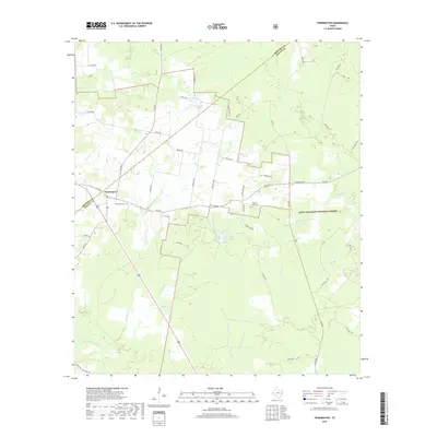
2004 Map of Centralia
USGS Topo · Published 2006About this map
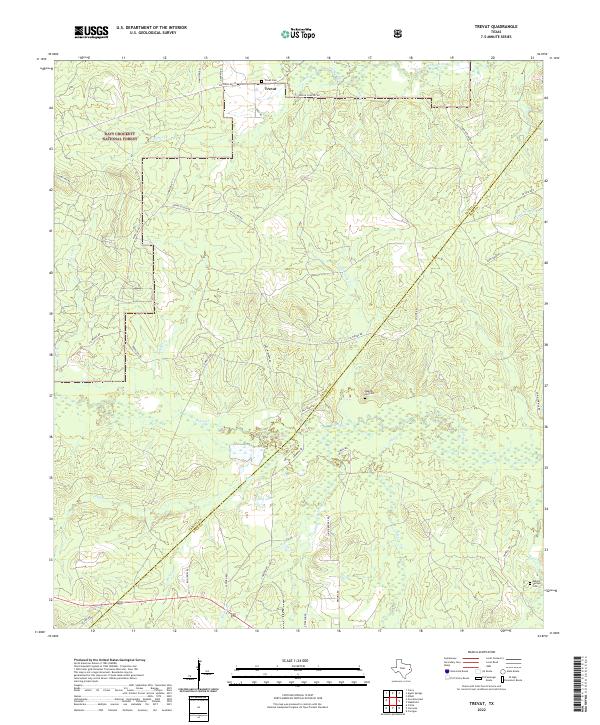
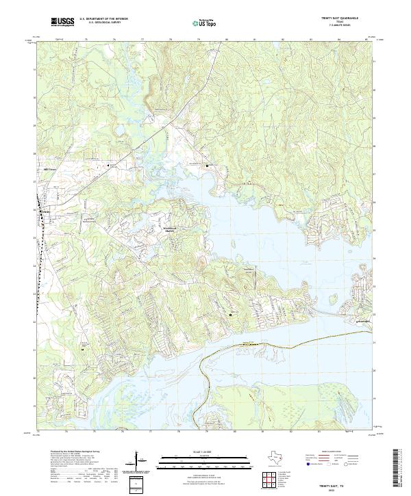
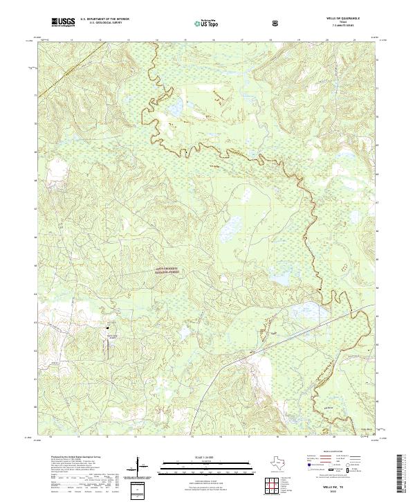
Davy Crockett National Forest dominates this section of East Texas, where the landscape is defined by the winding waters of Cochino Bayou and the Piney River. The settlement pattern follows older roads and creek basins, anchored by the community of Centralia and its Post Office in the southeast. This survey captures a rural landscape where local heritage is preserved in numerous family and community burial grounds, such as Mt Pisgah Cem and Rice Cem. The boundary between Houston and Trinity Counties bisects the terrain, illustrating how political lines were drawn through the dense woodlands. Local transit is marked by named arteries like Chic Watson Road and Jo Thomas Road, which connect smaller nodes like Nogalus and Center Point to the broader timber-producing region. The mapping of Old Ivy Ch and several other rural churches provides essential points of reference for genealogical research in this part of the Piney Woods.
Find a feature on this map
33 named features on this map. Tap any name to fly to it.
Don’t see what you’re looking for? This feature index may not catch every label — zoom into the map to look around manually.
Map Details
Editions of this 2004 Centralia Map
This is the sole edition of this map. No revisions or reprints were ever made.
Historical Maps of Hagerville Through Time
72 maps found
1950 Centralia
Trinity County, TX
1951 Centralia
Trinity County, TX
1951 Wells SW
Trinity County, TX
1960 Trinity East
Trinity County, TX
1962 Glendale
Trinity County, TX
1963 Apple Springs
Trinity County, TX
1963 Crecy
Trinity County, TX
1963 Groveton East
Trinity County, TX
1963 Groveton West
Trinity County, TX
1963 Pennington
Trinity County, TX
1963 Trevat
Trinity County, TX
2004 Centralia
Trinity County, TX
2004 Crecy
Trinity County, TX
2004 Groveton East
Trinity County, TX
2004 Groveton West
Trinity County, TX
2004 Trevat
Trinity County, TX
2004 Wells SW
Trinity County, TX
2010 Apple Springs
Trinity County, TX
2010 Centralia
Trinity County, TX
2010 Chita
Trinity County, TX
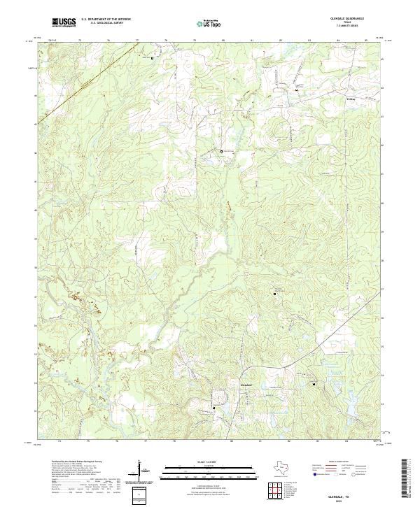
2010 Glendale
Trinity County, TX
2010 Groveton East
Trinity County, TX
2010 Groveton West
Trinity County, TX
2010 Trevat
Trinity County, TX
2010 Trinity East
Trinity County, TX
2010 Wells SW
Trinity County, TX
2011 Crecy
Trinity County, TX
2011 Pennington
Trinity County, TX
2013 Apple Springs
Trinity County, TX
2013 Centralia
Trinity County, TX
2013 Chita
Trinity County, TX
2013 Crecy
Trinity County, TX
2013 Glendale
Trinity County, TX
2013 Groveton East
Trinity County, TX
2013 Groveton West
Trinity County, TX
2013 Pennington
Trinity County, TX
2013 Trevat
Trinity County, TX
2013 Trinity East
Trinity County, TX
2013 Wells SW
Trinity County, TX
2016 Apple Springs
Trinity County, TX
2016 Centralia
Trinity County, TX
2016 Chita
Trinity County, TX
2016 Crecy
Trinity County, TX
2016 Glendale
Trinity County, TX
2016 Groveton East
Trinity County, TX
2016 Groveton West
Trinity County, TX
2016 Pennington
Trinity County, TX
2016 Trevat
Trinity County, TX
2016 Trinity East
Trinity County, TX
2016 Wells SW
Trinity County, TX

2019 Apple Springs
Trinity County, TX
2019 Centralia
Trinity County, TX
2019 Chita
Trinity County, TX
2019 Crecy
Trinity County, TX
2019 Glendale
Trinity County, TX
2019 Groveton East
Trinity County, TX
2019 Groveton West
Trinity County, TX
2019 Pennington
Trinity County, TX
2019 Trevat
Trinity County, TX
2019 Trinity East
Trinity County, TX
2019 Wells SW
Trinity County, TX
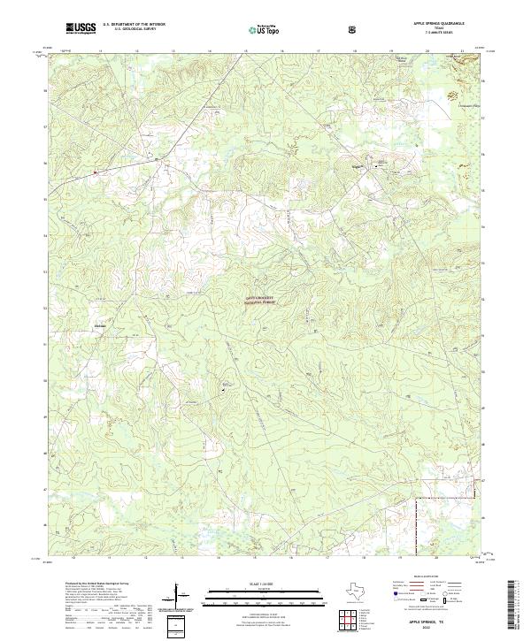
2022 Apple Springs
Trinity County, TX
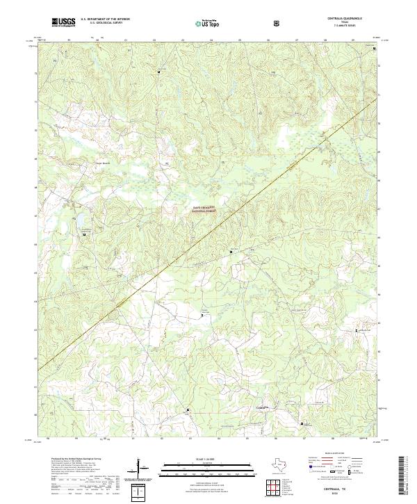
2022 Centralia
Trinity County, TX
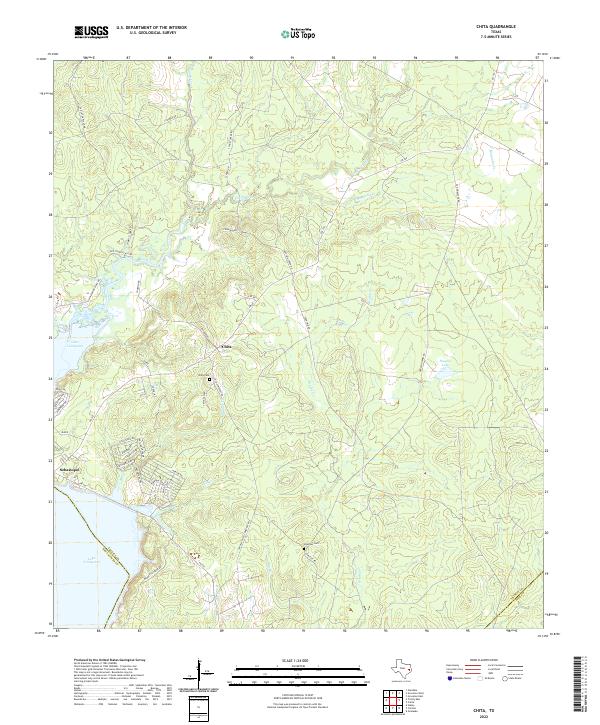
2022 Chita
Trinity County, TX
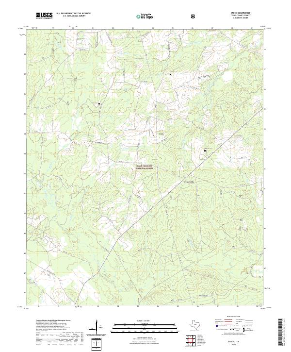
2022 Crecy
Trinity County, TX
2022 Glendale
Trinity County, TX
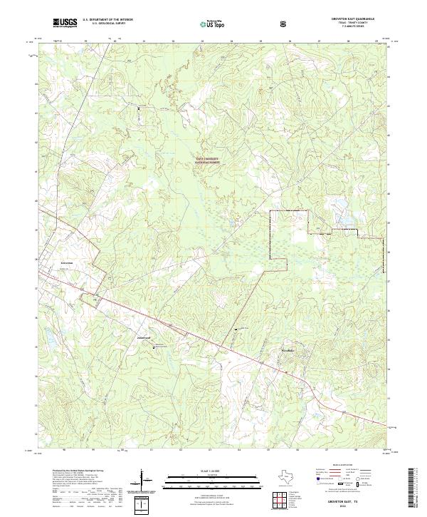
2022 Groveton East
Trinity County, TX
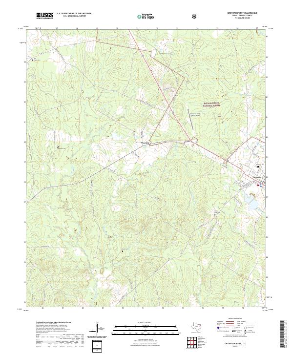
2022 Groveton West
Trinity County, TX
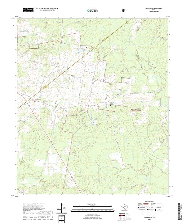
2022 Pennington
Trinity County, TX
2022 Trevat
Trinity County, TX
2022 Trinity East
Trinity County, TX
2022 Wells SW
Trinity County, TX