Old Maps of Hagerville, Texas for Metal Detecting
Plan your next treasure hunt with 12 historic maps of Hagerville. Find old homesites, ghost towns, trails, and gathering spots that may be lost to time — perfect for identifying promising metal detecting locations.
- Locate forgotten sites: Uncover places like long-lost settlements, abandoned rail lines, or gathering spots.
- Plan better hunts: Use map overlays combined with LiDAR or satellite views to narrow in on historically rich areas.
- Made for detectorists: Thousands of hobbyists use these maps to discover relics, coins, and hidden history.
Use these historic maps to boost your research and find new opportunities beneath the surface of Hagerville.
Hagerville, TX maps
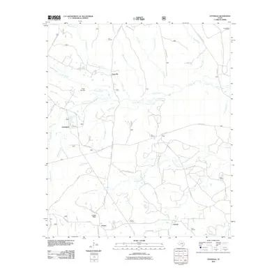
(12)- 1950 Map of Centralia, 1977 Print
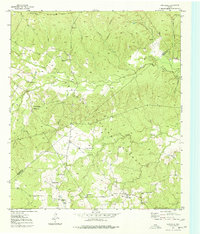 1950 Centralia1977 Print · USGSThe Piney Woods of Trinity and Houston Counties are revealed here at mid-century as a landscape defined by timber and tight-knit rural communities. You can trace the Logging Railroad networks and find family landmarks like Rice Cem, Nogalus, and Old Ivy Ch.
 - 1951 Map of Centralia
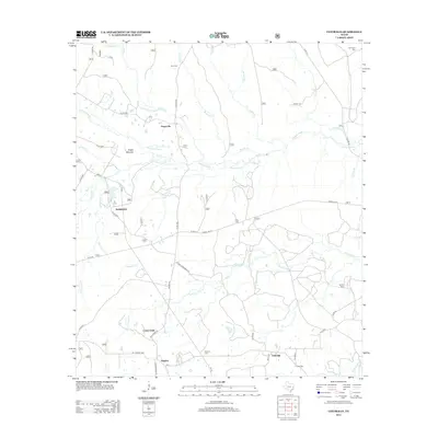
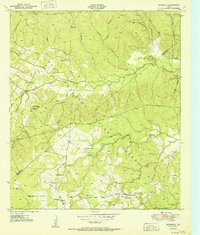 1951 Centralia1951 Print · USGSEast Texas timber country comes alive in the early fifties, showing the intersections of the Davy Crockett National Forest and local homesteads. Researchers can locate remote community hubs like Nogalus, Old Ivy Ch, and the defunct Logging Railroad Grade.
 - 1953 Map of Palestine, 1964 Print
 1953 Palestine1964 Print · USGSEast Texas was defined by its deep pine forests and burgeoning energy sector in the mid-1950s. Genealogists and historians can trace the rail-and-river economy through settlements like Tennessee Colony and Pollok or explore the early footprints of the Cayuga Oil Field and Davy Crockett National Forest.2 unique versions available
 - 1957 Map of Palestine
 1957 Palestine1957 Print · USGSEast Texas in the mid-fifties reveals a landscape of deep pine forests and winding river valleys before the era of massive reservoir construction. Researchers can trace the legacy of the timber and rail industries through labels for the Missouri Pacific RR, Davy Crockett National Forest, and Nacogdoches.
 - 1984 Map of Palestine
 1984 Palestine1984 Print · USGSEast Texas in the mid-eighties reveals a landscape of massive reservoirs and protected timberlands between Palestine and Nacogdoches. Researchers can trace old routes like the Missouri Pacific RR and locate rural communities such as Tennessee Colony, Latexo, and Etoile.3 unique versions available
 - 1985 Map of Crockett
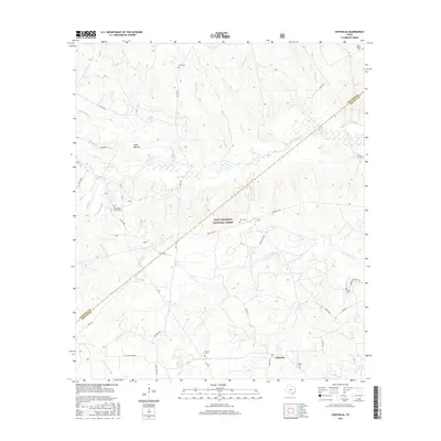
 1985 Crockett1985 Print · USGSEast Texas timber and river country are captured here during the mid-eighties, showing the region's transition into the modern era. Genealogists and historians can trace the Old San Antonio Road and locate rural landmarks like Hazel Chapel or Weldon Cem.2 unique versions available
 - 2004 Map of Centralia, 2006 Print
 2004 Centralia2006 Print · USGSDeep in the East Texas Piney Woods during the early 2000s, this area shows a landscape defined by the Davy Crockett National Forest. Genealogists can trace family landmarks and rural communities like Nogalus, Centralia, and the Old Ivy Ch.
 - 2010 Map of Centralia, 2010 Print
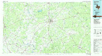
 2010 Centralia2010 Print · USGSCovers Hagerville, including Centralia, Nogalus, and other nearby areas
 - 2013 Map of Centralia, 2013 Print
 2013 Centralia2013 Print · USGSCovers Hagerville, including Centralia, Nogalus, and other nearby areas
 - 2016 Map of Centralia, 2016 Print
 2016 Centralia2016 Print · USGSCovers Hagerville, including Centralia, Nogalus, and other nearby areas
 - 2019 Map of Centralia, 2019 Print
 2019 Centralia2019 Print · USGSCovers Hagerville, including Centralia, Nogalus, and other nearby areas
 - 2022 Map of Centralia, 2022 Print
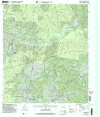
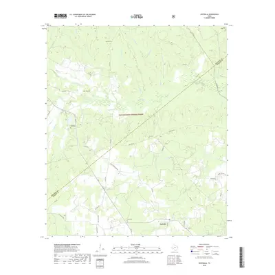
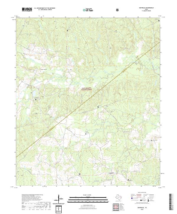 2022 Centralia2022 Print · USGSCentralia and the surrounding piney woods are captured in this 2022 survey as the landscape straddles the Houston and Trinity County line. Family historians can trace local roots through numerous rural burial grounds like Enon Cem, Calvary Cem, and Pisgah Cem nestled within the Davy Crockett National Forest.
End of results
Showing maps 1-12 of 12
Top cities near Hagerville
Frequently asked questions
- What are the different types of historical maps available for Hagerville?
- What is the oldest map of Hagerville?
- Where can I purchase historical maps of Hagerville for my home or office?
- Where can I download high-res historical maps of Hagerville?
- Are there historical topographic maps available for Hagerville?
- Is there historical aerial imagery available for Hagerville?
- Where are historical maps of Hagerville sourced from?