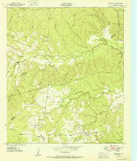
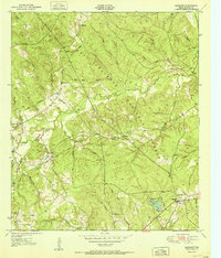
1951 Map of Centralia
USGS Topo · Published 1951About this map
The Davy Crockett National Forest dominates this East Texas landscape, where the dense piney woods are dissected by a complex network of waterways like Cochino Bayou and Piney Creek. Settled clearings such as Nogalus and Centralia anchor the southern portion of the sheet, while Hagerville sits further north along the Houston and Trinity County line.
Find a feature on this map
36 named features on this map. Tap any name to fly to it.
Don’t see what you’re looking for? This feature index may not catch every label — zoom into the map to look around manually.
Map Details
Editions of this 1951 Centralia Map
This is the sole edition of this map. No revisions or reprints were ever made.
Other maps of this area
1950 · Kennard NE
USGS Topo · 1:24,000
1950 · Ratcliff
USGS Topo · 1:24,000
1950 · Centralia
USGS Topo · 1:24,000
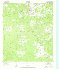
1951 · Kennard
USGS Topo · 1:24,000
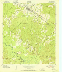
1951 · Wells
USGS Topo · 1:24,000
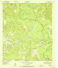
1951 · Wells SW
USGS Topo · 1:24,000
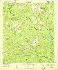
1951 · Kennard NE
USGS Topo · 1:24,000
1951 · Ratcliff
USGS Topo · 1:24,000

1953 · Palestine
USGS Topo · 1:250,000

1957 · Palestine
USGS Topo · 1:250,000