Old Maps of Coyote Place, Texas for Metal Detecting
Plan your next treasure hunt with 11 historic maps of Coyote Place. Find old homesites, ghost towns, trails, and gathering spots that may be lost to time — perfect for identifying promising metal detecting locations.
- Locate forgotten sites: Uncover places like long-lost settlements, abandoned rail lines, or gathering spots.
- Plan better hunts: Use map overlays combined with LiDAR or satellite views to narrow in on historically rich areas.
- Made for detectorists: Thousands of hobbyists use these maps to discover relics, coins, and hidden history.
Use these historic maps to boost your research and find new opportunities beneath the surface of Coyote Place.
Coyote Place, TX maps
(11)- 1903 Map of Cerro Alto, 1929 Print
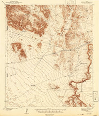
 1903 Cerro Alto1929 Print · USGSThe high desert of West Texas and the New Mexico border come alive in this turn-of-the-century survey. Trace early cattle-country water sources like Sparrow Tanks and Coyote Tanks or the peaks of the Hueco Mountains.
 - 1942 Map of Borrego
 1942 Borrego1942 Print · USGSHigh desert ranching and mining operations in Hudspeth County are documented here in the early 1940s. Researchers can locate named water improvements and local industry sites like the Old Padre Mine, Minnie Veale Well, and Cunningham Tank.3 unique versions available
 - 1954 Map of Van Horn, 1964 Print
 1954 Van Horn1964 Print · USGSThe Trans-Pecos region of West Texas comes into focus in the mid-1950s as a vital corridor of rail and desert commerce. Researchers can trace the path of the Texas and Pacific through Van Horn or locate remote rail sidings like Borracho and Laska Siding.2 unique versions available
 - 1958 Map of Van Horn
 1958 Van Horn1958 Print · USGSWest Texas ranching and rail history come alive in this 1950s survey of the Trans-Pecos desert during the era of major steam-to-diesel transition. Genealogists and historians can trace family-named outposts like Mayfield Ranch or locate the ruins of Presidio Viejo along the Rio Grande.
 - 1978 Map of Wildhorse Draw
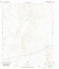 1978 Wildhorse Draw1978 Print · USGSThe Hudspeth County desert is captured here in the late 1970s, showing a landscape defined by ranching and resource infrastructure. Researchers can trace remote sites like Coyote Place, Shakespeare Tanks, and Peacock Canyon.
 - 1985 Map of Dell City
 1985 Dell City1985 Print · USGSThe northern Chihuahuan Desert in the mid-1980s reveals a landscape of isolated farming hubs and vast salt basins. Genealogists and researchers can trace the roads and water tanks around Dell City, the remote outpost at Salt Flat, and the rugged slopes of the Sierra Diablo.2 unique versions available
 - 2010 Map of Wildhorse Draw, 2010 Print
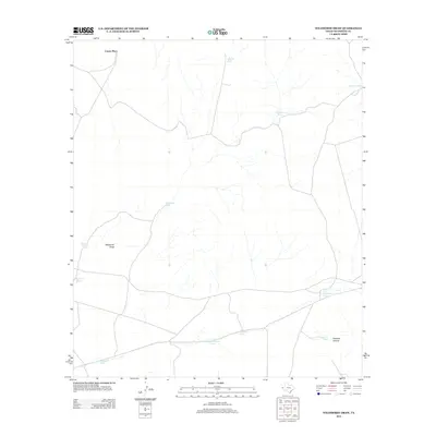
 2010 Wildhorse Draw2010 Print · USGSCovers Coyote Place, including Hudspeth County, United States, and other nearby areas
 - 2012 Map of Wildhorse Draw, 2012 Print
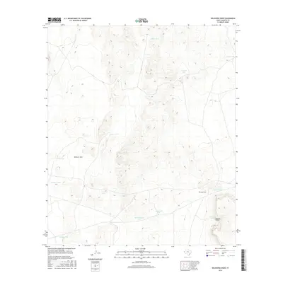
 2012 Wildhorse Draw2012 Print · USGSCovers Coyote Place, including Hudspeth County, United States, and other nearby areas
 - 2016 Map of Wildhorse Draw, 2016 Print
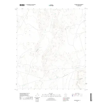
 2016 Wildhorse Draw2016 Print · USGSCovers Coyote Place, including Hudspeth County, United States, and other nearby areas
 - 2019 Map of Wildhorse Draw, 2019 Print
 2019 Wildhorse Draw2019 Print · USGSCovers Coyote Place, including Hudspeth County, United States, and other nearby areas
 - 2022 Map of Wildhorse Draw, 2022 Print
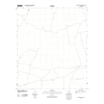
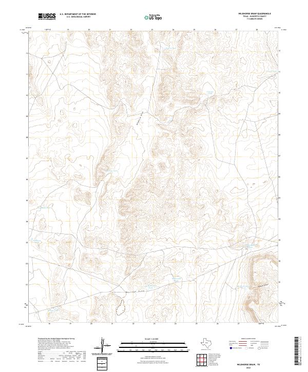 2022 Wildhorse Draw2022 Print · USGSArid Hudspeth County rangeland is documented here in the early twenty-first century, showing the critical infrastructure of West Texas ranching. Trace the movement of water and livestock through Wildhorse Draw and family-named sites like Peacock Tank and Shakespeare Tanks.
End of results
Showing maps 1-11 of 11
Frequently asked questions
- What are the different types of historical maps available for Coyote Place?
- What is the oldest map of Coyote Place?
- Where can I purchase historical maps of Coyote Place for my home or office?
- Where can I download high-res historical maps of Coyote Place?
- Are there historical topographic maps available for Coyote Place?
- Is there historical aerial imagery available for Coyote Place?
- Where are historical maps of Coyote Place sourced from?