Old Maps of Finlay, Texas for Academic Research
Study the evolution of Finlay with 11 high-resolution historic maps. Whether you're teaching, researching, or modeling changes in land use, these maps provide essential visual documentation of urban, environmental, and geographic change.
- Analyze long-term change: Track patterns in development, transportation, and natural features.
- Ideal for environmental or urban studies: Support academic projects with primary historical map data.
- Use in the classroom or lab: Educators and researchers rely on these maps to bring historical context to life.
These maps are a powerful tool for teaching, research, and visualizing how Finlay has changed over the decades.
Finlay, TX maps
(11)- 1894 Map of Fort Hancock
 1894 Fort Hancock1894 Print · USGSWest Texas borderlands in the 1890s centered on the strategic military and rail corridor along the Rio Grande. Trace the early footprint of Fort Hancock Post and vanished outposts like Fort Quitman (Ab'd.) and Camp Rice (Ab'd.).4 unique versions available
 - 1943 Map of Finlay Mountains
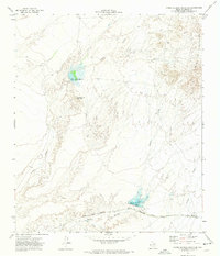
 1943 Finlay Mountains1943 Print · USGSHudspeth County’s high-desert landscape comes alive in the early 1940s, showing the intersection of heavy rail and remote ranching life. Genealogists and historians can trace the paths of the Southern Pacific railroad through old stops like Madden and Finlay, or locate isolated homesteads like Wilkie Ranch.
 - 1954 Map of Van Horn, 1964 Print
 1954 Van Horn1964 Print · USGSThe Trans-Pecos region of West Texas comes into focus in the mid-1950s as a vital corridor of rail and desert commerce. Researchers can trace the path of the Texas and Pacific through Van Horn or locate remote rail sidings like Borracho and Laska Siding.2 unique versions available
 - 1958 Map of Van Horn
 1958 Van Horn1958 Print · USGSWest Texas ranching and rail history come alive in this 1950s survey of the Trans-Pecos desert during the era of major steam-to-diesel transition. Genealogists and historians can trace family-named outposts like Mayfield Ranch or locate the ruins of Presidio Viejo along the Rio Grande.
 - 1972 Map of Campo Grande Mountain, 1974 Print
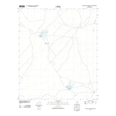
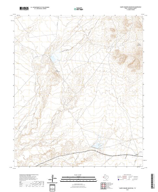
 1972 Campo Grande Mountain1974 Print · USGSHudspeth County in the early seventies shows a desert landscape defined by high peaks and vital rail corridors. Trace the path of the Texas and Pacific Southern Pacific near Madden or explore water works at Madden Reservoir.
 - 1985 Map of Sierra Blanca
 1985 Sierra Blanca1985 Print · USGSThe Trans-Pecos desert during the mid-eighties shows a landscape of mountain ranges and critical international border crossings. Trace the old river settlements of Fort Hancock and Mc Nary, find the historic Fort Quitman (Site), or follow the legacy of the Southern Pacific railroad.2 unique versions available
 - 2010 Map of Campo Grande Mountain, 2010 Print
 2010 Campo Grande Mountain2010 Print · USGSCovers Finlay, including Hudspeth County, United States, and other nearby areas
 - 2013 Map of Campo Grande Mountain, 2013 Print
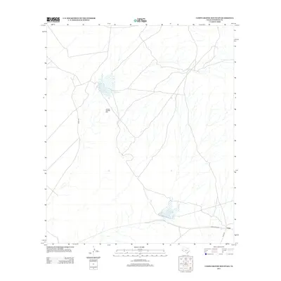 2013 Campo Grande Mountain2013 Print · USGSCovers Finlay, including Hudspeth County, United States, and other nearby areas
 - 2016 Map of Campo Grande Mountain, 2016 Print
 2016 Campo Grande Mountain2016 Print · USGSCovers Finlay, including Hudspeth County, United States, and other nearby areas
 - 2019 Map of Campo Grande Mountain, 2019 Print
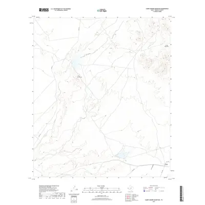 2019 Campo Grande Mountain2019 Print · USGSCovers Finlay, including Hudspeth County, United States, and other nearby areas
 - 2022 Map of Campo Grande Mountain, 2022 Print
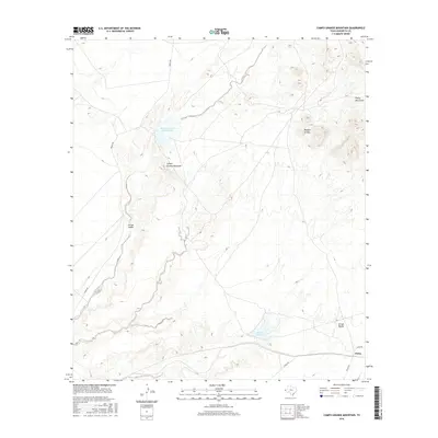
 2022 Campo Grande Mountain2022 Print · USGSHudspeth County’s high desert landscape is documented here in the early twenty-first century, showing a remote region of arroyos and mountains. Local historians can trace routes like Diablo Rd and Finley Rd near the settlement of Finlay.
End of results
Showing maps 1-11 of 11
Top cities near Finlay
Frequently asked questions
- What are the different types of historical maps available for Finlay?
- What is the oldest map of Finlay?
- Where can I purchase historical maps of Finlay for my home or office?
- Where can I download high-res historical maps of Finlay?
- Are there historical topographic maps available for Finlay?
- Is there historical aerial imagery available for Finlay?
- Where are historical maps of Finlay sourced from?