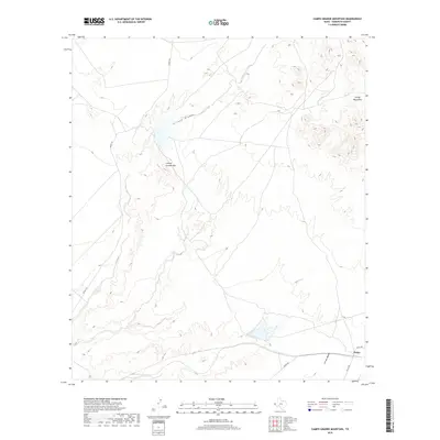
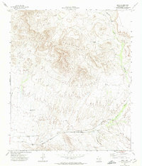
2019 Map of Campo Grande Mountain
USGS Topo · Published 2019About this map
Finlay stands as a primary point of interest in this arid Hudspeth County landscape, situated near the intersection of Finley Rd and Lasca Rd. The terrain is defined by the prominent Campo Grande Mtn and the northern reaches of the Finlay Mountains, where elevation changes create a stark contrast with the surrounding desert floor. Drainage patterns in the area are shaped by seasonal watercourses, most notably the wide paths of Arroyo Diablo and Arroyo Macho.
Find a feature on this map
9 named features on this map. Tap any name to fly to it.
Don’t see what you’re looking for? This feature index may not catch every label — zoom into the map to look around manually.
Map Details
Editions of this 2019 Campo Grande Mountain Map
This is the sole edition of this map. No revisions or reprints were ever made.
Other maps of this area

1894 · Fort Hancock
USGS Topo · 1:125,000

1943 · Fort Quitman
USGS Topo · 1:62,500

1943 · Finlay Mountains
USGS Topo · 1:62,500

1943 · Fort Hancock
USGS Topo · 1:62,500
1943 · McNary
USGS Topo · 1:62,500

1954 · Van Horn
USGS Topo · 1:250,000

1958 · Van Horn
USGS Topo · 1:250,000
1972 · Silver King Canyon
USGS Topo · 1:24,000
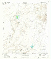
1972 · Campo Grande Mountain
USGS Topo · 1:24,000
1972 · Small
USGS Topo · 1:24,000