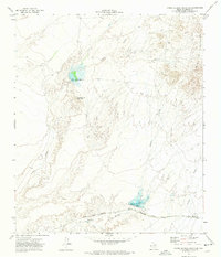
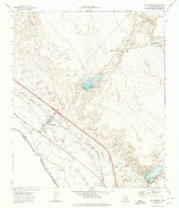
1972 Map of Campo Grande Mountain
USGS Topo · Published 1974About this map
Arroyo Diablo and Madden Arroyo carve through this arid Hudspeth County landscape, illustrating the critical role of water management in the high desert during the early 1970s. The presence of Diablo Reservoir No 1 and Madden Reservoir near the base of Campo Grande Mountain highlights the infrastructure required to support the local environment. Further east, the Finlay Mountains rise sharply, punctuated by the high point of Finlay Peak.
Find a feature on this map
18 named features on this map. Tap any name to fly to it.
Don’t see what you’re looking for? This feature index may not catch every label — zoom into the map to look around manually.
Map Details
Editions of this 1972 Campo Grande Mountain Map
This is the sole edition of this map. No revisions or reprints were ever made.
Other maps of this area

1894 · Fort Hancock
USGS Topo · 1:125,000

1943 · Fort Quitman
USGS Topo · 1:62,500

1943 · Finlay Mountains
USGS Topo · 1:62,500

1943 · Fort Hancock
USGS Topo · 1:62,500
1943 · McNary
USGS Topo · 1:62,500

1954 · Van Horn
USGS Topo · 1:250,000

1958 · Van Horn
USGS Topo · 1:250,000
1972 · Silver King Canyon
USGS Topo · 1:24,000
1972 · Small
USGS Topo · 1:24,000
1972 · Fort Hancock
USGS Topo · 1:24,000