Old Maps of Sanford, Texas for Genealogy
Trace your family roots with 11 historic maps of Sanford. These high-res maps reveal old neighborhoods, homesites, landmarks, and streets — helping you uncover where your ancestors lived and how the area evolved over time.
- Explore historic neighborhoods: Identify where your relatives may have lived in the 1800s or 1900s.
- Compare maps over time: Trace the changes in streets, buildings, and landmarks for multi-generational research.
- Perfect for genealogy & ancestry research: Used by family historians and researchers to map out lineage and migration.
These maps are an incredible resource for exploring your personal connection to Sanford's past.
Sanford, TX maps
(11)- 1939 Map of Sanford
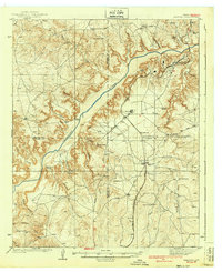 1939 Sanford1939 Print · USGSThe Texas Panhandle comes alive in the late 1930s as ranching and oil industries converge along the Canadian River. Researchers can trace the layout of Fritch and Sanford, or locate family landmarks like Deahl Ranch and Ingerton Ranch.2 unique versions available
 - 1953 Map of Sanford
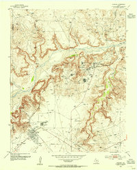 1953 Sanford1953 Print · USGSIn the early 1950s, the Texas Panhandle was a landscape of rapid energy growth centered on the Canadian River. Researchers can trace the industrial footprint of the Merchant Oil Field and find historic sites like Sanford Cemetery and the Oil City School (Aband).
 - 1954 Map of Amarillo, 1966 Print
 1954 Amarillo1966 Print · USGSThe Texas Panhandle in the mid-1960s shows a landscape of rising industrial power and deep-rooted ranching tradition. Local historians can trace the paths of the Panhandle and Santa Fe railroad or locate sites like the Pantex Ordnance Plant and Mobeetie.2 unique versions available
 - 1958 Map of Amarillo
 1958 Amarillo1958 Print · USGSThe Texas Panhandle in the mid-1950s reveals a landscape of expanding military installations and oil-rich rail towns. Local historians can trace the development of Amarillo Air Force Base or locate smaller settlements like Magic City and New Mobeetie.
 - 1970 Map of Sanford, 1973 Print
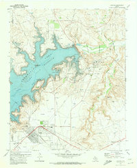 1970 Sanford1973 Print · USGSHutchinson County underwent a dramatic transformation in the early seventies as the Canadian River was impounded to form a new recreation hub. Genealogists and industrial historians can trace the development of Fritch, locate the Sanford Cem, and study the sprawling Sanford Yake Oil Field.
 - 1986 Map of Borger
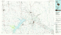 1986 Borger1986 Print · USGSThe Texas Panhandle's energy landscape is captured here in the mid-eighties, showing the intersection of industrial development and the Lake Meredith shoreline. Researchers can trace company-town heritage and rail history through sites like Signal Hill, Supreme Camp, and the Atchison Topeka and Santa Fe railroad line.2 unique versions available
 - 2010 Map of Sanford, 2010 Print
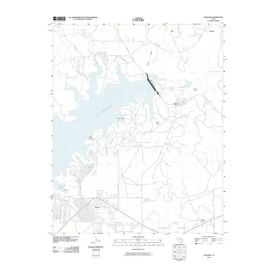 2010 Sanford2010 Print · USGSCovers Sanford, including Fritch, Moore County, and other nearby areas
 - 2012 Map of Sanford, 2012 Print
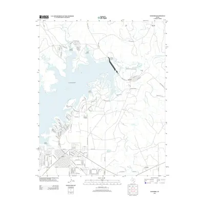 2012 Sanford2012 Print · USGSCovers Sanford, including Fritch, Moore County, and other nearby areas
 - 2016 Map of Sanford, 2016 Print
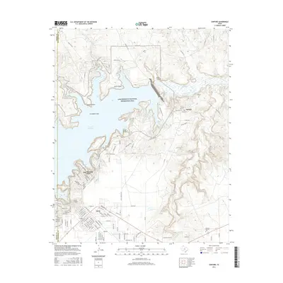 2016 Sanford2016 Print · USGSCovers Sanford, including Fritch, Moore County, and other nearby areas
 - 2019 Map of Sanford, 2019 Print
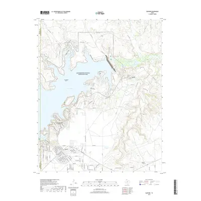 2019 Sanford2019 Print · USGSCovers Sanford, including Fritch, Moore County, and other nearby areas
 - 2023 Map of Sanford, 2023 Print
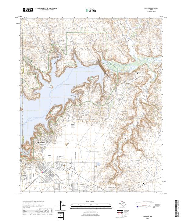 2023 Sanford2023 Print · USGSThe Texas Panhandle meets the waters of the Canadian River in this contemporary survey of Hutchinson County. Researchers can locate Sanford Cem and the residential streets of Fritch while tracing the winding shoreline of Lake Meredith.
End of results
Showing maps 1-11 of 11
Top cities near Sanford
Frequently asked questions
- What are the different types of historical maps available for Sanford?
- What is the oldest map of Sanford?
- Where can I purchase historical maps of Sanford for my home or office?
- Where can I download high-res historical maps of Sanford?
- Are there historical topographic maps available for Sanford?
- Is there historical aerial imagery available for Sanford?
- Where are historical maps of Sanford sourced from?