Old Maps of Deweesville, Texas for Genealogy
Trace your family roots with 13 historic maps of Deweesville. These high-res maps reveal old neighborhoods, homesites, landmarks, and streets — helping you uncover where your ancestors lived and how the area evolved over time.
- Explore historic neighborhoods: Identify where your relatives may have lived in the 1800s or 1900s.
- Compare maps over time: Trace the changes in streets, buildings, and landmarks for multi-generational research.
- Perfect for genealogy & ancestry research: Used by family historians and researchers to map out lineage and migration.
These maps are an incredible resource for exploring your personal connection to Deweesville's past.
Deweesville, TX maps
(13)- 1925 Map of Tordia No. 1
 1925 Tordia No. 11925 Print · USGSKarnes and Wilson Counties are documented here in the mid-1920s as rural agriculture and rail lines shaped the river valley. Genealogists can trace family landmarks and local education hubs like Deweeville, Froshinn Hall, and the Three Oaks School.
 - 1931 Map of Falls City
 1931 Falls City1931 Print · USGSSouth Texas river life and rail transport meet in this early thirties survey of Karnes and Wilson Counties. Trace the Southern Pacific through Falls City or locate rural landmarks like Froshinn Hall and Laake Sch.4 unique versions available
 - 1953 Map of Crystal City
 1953 Crystal City1953 Print · USGSSouth Texas in the early fifties was a landscape of expanding oil fields and vital rail connections. Genealogists and researchers can trace family lands along the Nueces River or locate heritage sites in Asherton, Big Wells, and Batesville.
 - 1955 Map of Crystal City, 1976 Print
 1955 Crystal City1976 Print · USGSSouth Texas ranching and oil country come into focus in the mid-fifties as the rail lines and rivers connect growing hubs. Researchers can trace the development of energy fields like Washburn Oil Field or locate historic settlements from Asherton to Three Rivers.
 - 1961 Map of Crystal City
 1961 Crystal City1961 Print · USGSSouth Texas in the early sixties reveals a landscape of massive cattle ranches and emerging oil fields. Genealogists and historians can trace the Missouri Pacific rail lines through Crystal City, or locate water features like Espantosa Lake and Boynton Reservoir.
 - 1961 Map of Falls City, 1963 Print
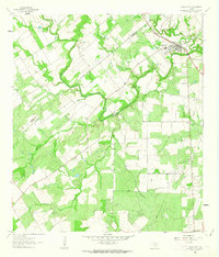 1961 Falls City1963 Print · USGSFalls City and the surrounding South Texas river country are shown here in the early sixties as the oil and quarrying industries expanded. Researchers can trace river crossings like Conquista Crossing, locate the Mueller Cem, and follow the Southern Pacific rail line.
 - 1968 Map of Crystal City
 1968 Crystal City1968 Print · USGSSouth Texas in the late sixties reveals a landscape shaped by ranching roots and the vital waters of the Nueces River. Researchers can trace the rail-driven growth of Crystal City or locate landmarks like Pilot Knob and Espantosa Lake.
 - 1985 Map of Pleasanton
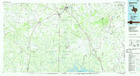 1985 Pleasanton1985 Print · USGSSouth Texas in the mid-1980s is characterized by the rise of petroleum and new water projects like the Choke Canyon Reservoir. Genealogists and historians can trace rail-side settlements along the Missouri Pacific and rural hubs such as Amphion, Fashing, and Campbellton.2 unique versions available
 - 2010 Map of Falls City, 2010 Print
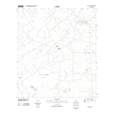 2010 Falls City2010 Print · USGSFalls City and the surrounding Karnes County landscape are defined by the winding San Antonio River in the early twenty-first century. Researchers can trace historic river crossings at Mays Crossing and Conquista Crossing or locate family plots at Mueller Cemetery.
 - 2013 Map of Falls City, 2013 Print
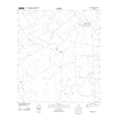 2013 Falls City2013 Print · USGSFalls City and the surrounding Karnes County ranch lands are detailed here during the early twenty-first century. Researchers can trace rural infrastructure from the Burris Ranch Airport to family-named sites like the Mueller Cem and Mays Crossing along the San Antonio River.
 - 2016 Map of Falls City, 2016 Print
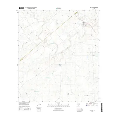 2016 Falls City2016 Print · USGSKarnes County ranch lands and river valleys are captured here in the mid-2010s, centered on the community of Falls City. Local historians can trace family sites at the Falls City Cem or the Mueller Cem and explore landmarks like Picket Hollow.
 - 2019 Map of Falls City, 2019 Print
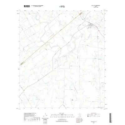 2019 Falls City2019 Print · USGSFalls City and the surrounding Karnes County ranchlands are captured here in the late 2010s. Researchers can trace the path of the San Antonio River past Skiles Falls and locate family burial sites at Mueller Cem and the Falls City Cem.
 - 2022 Map of Falls City, 2022 Print
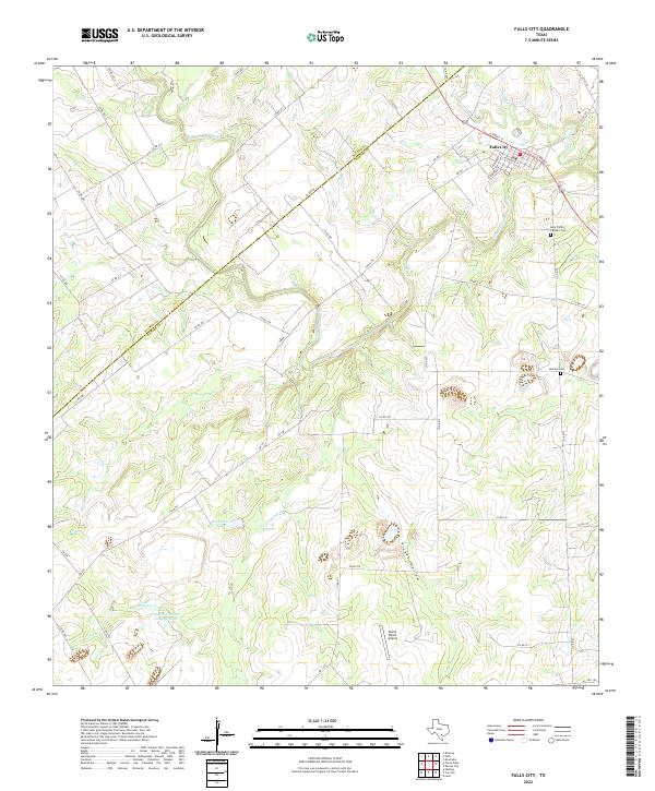 2022 Falls City2022 Print · USGSThe rural landscape of Falls City and the Karnes-Wilson county line are mapped here during a period of modern ranching and industry. Researchers can trace family sites like Holy Trinity Catholic Cem and Mueller Cem or locate landmarks such as Skiles Falls and Picket Hollow.
End of results
Showing maps 1-13 of 13
Top cities near Deweesville
- Floresville historical maps
- Karnes City historical maps
- Poth historical maps
- Falls City historical maps
- Campbellton historical maps
Frequently asked questions
- What are the different types of historical maps available for Deweesville?
- What is the oldest map of Deweesville?
- Where can I purchase historical maps of Deweesville for my home or office?
- Where can I download high-res historical maps of Deweesville?
- Are there historical topographic maps available for Deweesville?
- Is there historical aerial imagery available for Deweesville?
- Where are historical maps of Deweesville sourced from?