Old Maps of Karnes City, Texas for Metal Detecting
Plan your next treasure hunt with 17 historic maps of Karnes City. Find old homesites, ghost towns, trails, and gathering spots that may be lost to time — perfect for identifying promising metal detecting locations.
- Locate forgotten sites: Uncover places like long-lost settlements, abandoned rail lines, or gathering spots.
- Plan better hunts: Use map overlays combined with LiDAR or satellite views to narrow in on historically rich areas.
- Made for detectorists: Thousands of hobbyists use these maps to discover relics, coins, and hidden history.
Use these historic maps to boost your research and find new opportunities beneath the surface of Karnes City.
Karnes City, TX maps
(17)- 1953 Map of Beeville
 1953 Beeville1953 Print · USGSThe Texas Coastal Bend in the early fifties shows a landscape of growing regional hubs and vital maritime corridors. Trace the rail-and-river economy through Goliad, locate the Matagorda Lighthouse, and explore the sprawling Aransas National Wildlife Refuge.
 - 1956 Map of Beeville
 1956 Beeville1956 Print · USGSCoastal Texas and the brush country interior are shown in the mid-fifties, from the coastal bays to the inland oil fields. Trace the old rail lines of the Southern Pacific RR or locate the historic Matagorda Lighthouse and the Aransas National Wildlife Refuge.2 unique versions available
 - 1956 Map of Karnes City
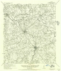 1956 Karnes City1956 Print · USGSKarnes County in the mid-twentieth century was a landscape of river-bottom farms and segregated rural schools. Genealogists can trace family holdings like the Salge Ranch and Pollock Farm or locate vanished sites like Bridger School (Colored) and Germania Hall.
 - 1960 Map of Beeville
 1960 Beeville1960 Print · USGSCoastal Texas in the mid-fifties reveals a landscape of growing towns and vital military outposts like Foster AFB. Researchers can trace old rail lines including the Missouri Pacific and explore the vast Aransas National Wildlife Refuge.
 - 1960 Map of Karnes City
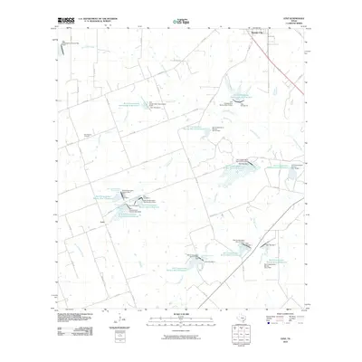
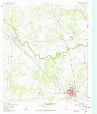 1960 Karnes City1960 Print · USGSMid-century South Texas life centers on the river valleys and rail lines between Panna Maria and Karnes City. Researchers can trace old family sites at St Mary Cem, locate the Karnes City Hot Springs, or follow the Texas and New Orleans railroad corridor.3 unique versions available
 - 1961 Map of Lenz, 1963 Print
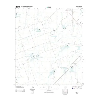
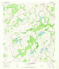 1961 Lenz1963 Print · USGSKarnes County ranching and water management are on display in the early sixties, showing the landscape around the settlement of Lenz. Researchers can trace old property lines and rural landmarks like the Drive-in Theater and the winding Doe Branch.2 unique versions available
 - 1985 Map of Goliad, 1992 Print
 1985 Goliad1992 Print · USGSThe South Texas plains during the mid-eighties reveal a landscape of deep-rooted ranching towns and historic river crossings. Genealogists and historians can trace family locations through Upper Meyersville, follow the Southern Pacific rail line, or locate landmarks like OLF Goliad and Goliad State Park.
 - 2010 Map of Lenz, 2010 Print
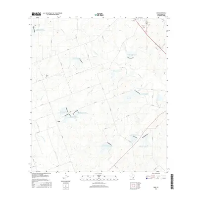
 2010 Lenz2010 Print · USGSCovers Karnes City, including Lenz, Karnes County, and other nearby areas
 - 2010 Map of Karnes City, 2010 Print
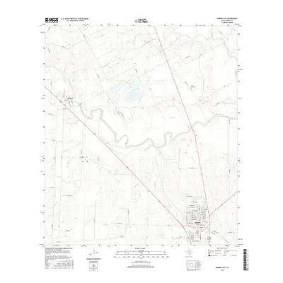
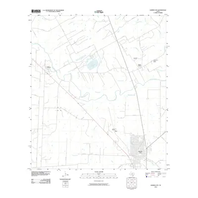 2010 Karnes City2010 Print · USGSCovers Karnes City, including Mayo, Hobson, and other nearby areas
 - 2013 Map of Karnes City, 2013 Print
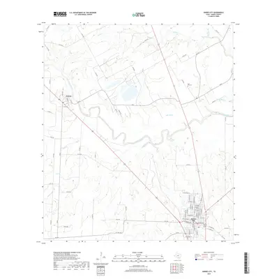
 2013 Karnes City2013 Print · USGSCovers Karnes City, including Mayo, Hobson, and other nearby areas
 - 2013 Map of Lenz, 2013 Print
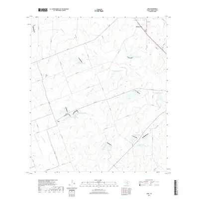
 2013 Lenz2013 Print · USGSCovers Karnes City, including Lenz, Karnes County, and other nearby areas
 - 2016 Map of Karnes City, 2016 Print
 2016 Karnes City2016 Print · USGSCovers Karnes City, including Mayo, Hobson, and other nearby areas
 - 2016 Map of Lenz, 2016 Print
 2016 Lenz2016 Print · USGSCovers Karnes City, including Lenz, Karnes County, and other nearby areas
 - 2019 Map of Karnes City, 2019 Print
 2019 Karnes City2019 Print · USGSCovers Karnes City, including Mayo, Hobson, and other nearby areas
 - 2019 Map of Lenz, 2019 Print
 2019 Lenz2019 Print · USGSCovers Karnes City, including Lenz, Karnes County, and other nearby areas
 - 2022 Map of Karnes City, 2022 Print
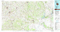
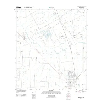
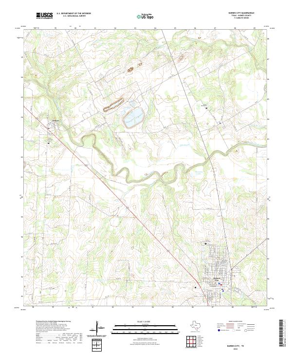 2022 Karnes City2022 Print · USGSKarnes County at the start of the 2020s centers on the civic hub of Karnes City and the nearby San Antonio River. Researchers can trace local genealogy at Saint Boniface Cem and Panna Maria Cem or locate the Karnes County Courthouse.
 - 2022 Map of Lenz, 2022 Print
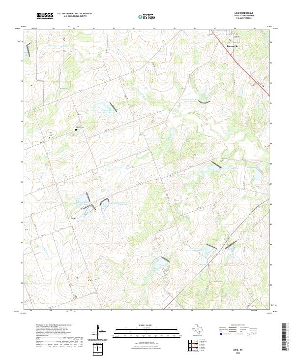 2022 Lenz2022 Print · USGSKarnes County is shown here in the contemporary era, centered on the intersection of rural ranching and modern water management. Genealogists can trace family landmarks like the New Bremen Cem or follow the paths of Escondido Cr and Panther Cr.
End of results
Showing maps 1-17 of 17
Top cities near Karnes City
Frequently asked questions
- What are the different types of historical maps available for Karnes City?
- What is the oldest map of Karnes City?
- Where can I purchase historical maps of Karnes City for my home or office?
- Where can I download high-res historical maps of Karnes City?
- Are there historical topographic maps available for Karnes City?
- Is there historical aerial imagery available for Karnes City?
- Where are historical maps of Karnes City sourced from?