2000s (21st Century) Maps of Grays Prairie, Texas
Explore 10 historic maps of Grays Prairie from the 2000s (21st Century). These maps offer a rare glimpse into what life looked like during the 2000s — showing old roads, neighborhoods, homes, and landmarks that have changed or disappeared over time.
Whether you're researching your family's past, planning a metal detecting trip, or studying how Grays Prairie's landscape evolved across the 2000s, these high-resolution maps are a powerful tool for exploring the history of this region.
- Focus on a specific era: All maps on this page are from the 2000s, giving you a focused view of this time period.
- See what’s changed: Compare century-old streets, trails, and buildings to today's modern landscape using overlays and satellite layers.
- Research with precision: Use these maps for genealogy, historical research, land use analysis, or educational projects.
- View, download, or print: Maps are fully viewable online in high resolution, and can be downloaded or printed for your own records.
Start exploring Grays Prairie's history through authentic maps from the 2000s. This is your window into the past.
Grays Prairie, TX maps
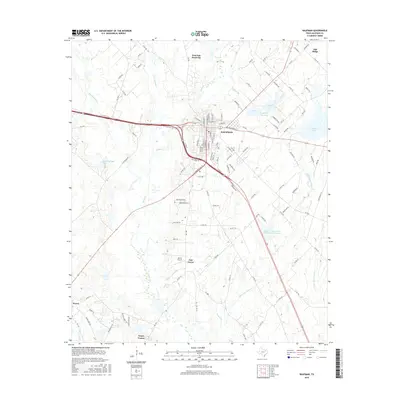
(10)- 2010 Map of Grays Prairie, 2010 Print
 2010 Grays Prairie2010 Print · USGSCovers Grays Prairie, including Kemp, Scurry, and other nearby areas
 - 2010 Map of Kaufman, 2010 Print
 2010 Kaufman2010 Print · USGSCovers Grays Prairie, including Kaufman, Oak Grove, and other nearby areas
 - 2012 Map of Grays Prairie, 2012 Print
 2012 Grays Prairie2012 Print · USGSCovers Grays Prairie, including Kemp, Scurry, and other nearby areas
 - 2012 Map of Kaufman, 2012 Print
 2012 Kaufman2012 Print · USGSCovers Grays Prairie, including Kaufman, Oak Grove, and other nearby areas
 - 2016 Map of Kaufman, 2016 Print
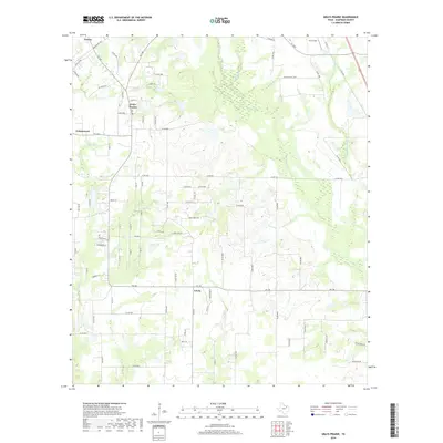
 2016 Kaufman2016 Print · USGSCovers Grays Prairie, including Kaufman, Oak Grove, and other nearby areas
 - 2016 Map of Grays Prairie, 2016 Print
 2016 Grays Prairie2016 Print · USGSCovers Grays Prairie, including Kemp, Scurry, and other nearby areas
 - 2019 Map of Kaufman, 2019 Print
 2019 Kaufman2019 Print · USGSCovers Grays Prairie, including Kaufman, Oak Grove, and other nearby areas
 - 2019 Map of Grays Prairie, 2019 Print
 2019 Grays Prairie2019 Print · USGSCovers Grays Prairie, including Kemp, Scurry, and other nearby areas
 - 2022 Map of Kaufman, 2022 Print
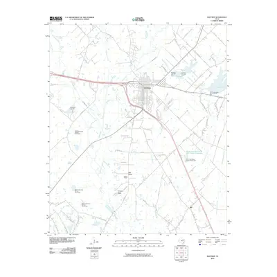
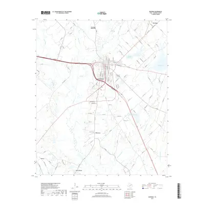
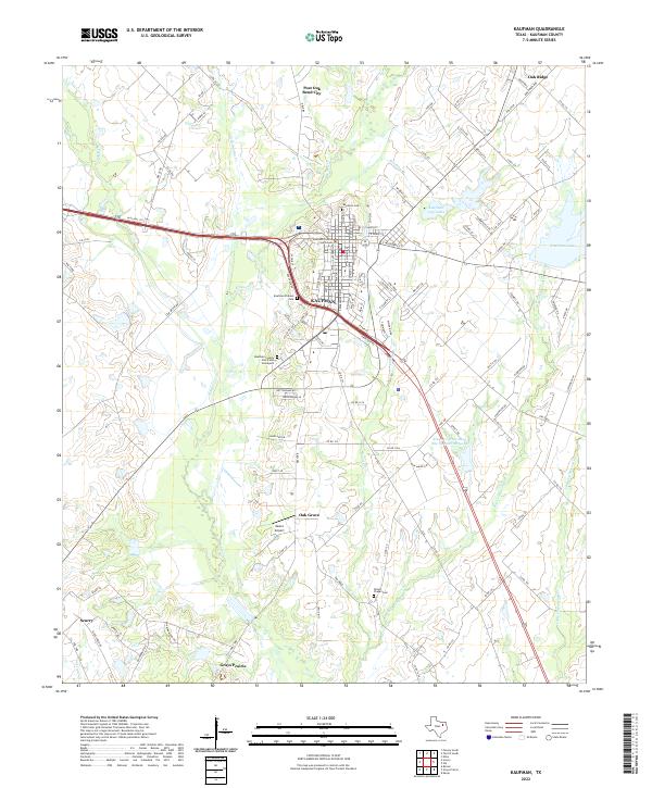 2022 Kaufman2022 Print · USGSKaufman and its surrounding prairie communities are captured here in the early twenty-first century as the region balanced its rural roots with modern growth. Genealogists and historians can locate family sites at the Kaufman County Poor Farm Graveyard, Wilson Chapel Cem, and the historic Kaufman County Courthouse.
 - 2022 Map of Grays Prairie, 2022 Print
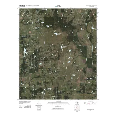
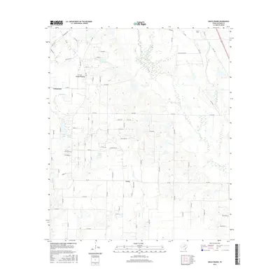
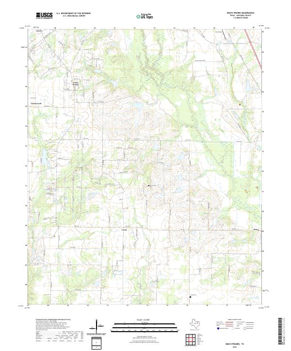 2022 Grays Prairie2022 Print · USGSGrays Prairie and the Kaufman County countryside appear here in the early twenty-first century as a landscape of established ranch roads and winding creek beds. Researchers can locate family landmarks like Pyle Prairie Cem and Shiloh Cem or trace the rural communities of Lively and Cottonwood.
End of results
Showing maps 1-10 of 10
Top cities near Grays Prairie
- Dallas historical maps
- Mesquite historical maps
- Ennis historical maps
- Terrell historical maps
- Seagoville historical maps
- Heartland historical maps
See more
Frequently asked questions
- What are the different types of historical maps available for Grays Prairie?
- What is the oldest map of Grays Prairie?
- Where can I purchase historical maps of Grays Prairie for my home or office?
- Where can I download high-res historical maps of Grays Prairie?
- Are there historical topographic maps available for Grays Prairie?
- Is there historical aerial imagery available for Grays Prairie?
- Where are historical maps of Grays Prairie sourced from?