Old Maps of Poetry, Texas for Genealogy
Trace your family roots with 10 historic maps of Poetry. These high-res maps reveal old neighborhoods, homesites, landmarks, and streets — helping you uncover where your ancestors lived and how the area evolved over time.
- Explore historic neighborhoods: Identify where your relatives may have lived in the 1800s or 1900s.
- Compare maps over time: Trace the changes in streets, buildings, and landmarks for multi-generational research.
- Perfect for genealogy & ancestry research: Used by family historians and researchers to map out lineage and migration.
These maps are an incredible resource for exploring your personal connection to Poetry's past.
Poetry, TX maps
(10)- 1954 Map of Dallas, 1963 Print
 1954 Dallas1963 Print · USGSNorth Texas in the mid-fifties and early sixties reveals a landscape of rapid urban growth and water management. Genealogists and historians can trace the evolution of the metroplex through landmarks like Hensley Field, Boles Orphan Home, and the Texas & Pacific RR.4 unique versions available
- 1956 Map of Quinlan, 1957 Print
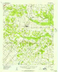 1956 Quinlan1957 Print · USGSNortheast Texas at the height of the post-war era is depicted here through its network of small crossroads communities and family farms. Researchers can trace rural lineages through local landmarks like Union Valley Sch, the Boys Home (Orphanage), and the Masonic Cem near Quinlan.3 unique versions available
- 1958 Map of Dallas
 1958 Dallas1958 Print · USGSNorth Texas in the late fifties shows the dramatic expansion of the Metroplex as it absorbs surrounding farm towns. Genealogists and historians can trace old rail lines like the Missouri-Kansas-Texas and locate early lakefront developments at Eagle Mountain Lake and Lake Worth Village.
- 1980 Map of Poetry
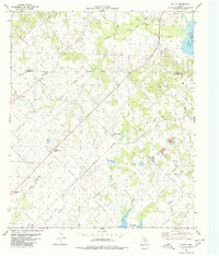 1980 Poetry1980 Print · USGSThe rural Texas landscape at the transition of the seventies and eighties reveals a network of water and energy infrastructure. Genealogists can locate several family and community landmarks, including Henderson-Mosley Cem, Campground Ch, and the old Poetry settlement.2 unique versions available
- 1986 Map of Dallas
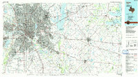 1986 Dallas1986 Print · USGSThe North Texas metropolitan landscape comes into focus during the mid-eighties as urban growth expands toward the eastern reservoirs. Researchers can trace historic cemeteries like Oak Cliff Cem, rail corridors of the Texas & Pacific RR, and landmarks such as Southern Methodist University.3 unique versions available
- 2010 Map of Poetry, 2010 Print
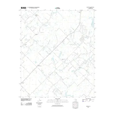 2010 Poetry2010 Print · USGSHunt County at the turn of the decade preserves its quiet rural layout and deep-rooted family landmarks. Genealogists and local historians can trace the locations of Campground Cemetery, Poetry, and the Phillips Flying Ranch Airport across this agricultural landscape.
- 2012 Map of Poetry, 2012 Print
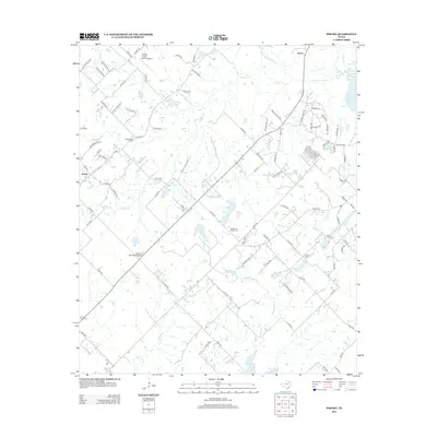 2012 Poetry2012 Print · USGSHunt County's rural character and transition toward suburban development are evident here in the early 2010s. Local researchers can trace family connections at Campground Cem or Weaver Cem and locate landmarks like Poetry and Phillips Flying Ranch Airport.
- 2016 Map of Poetry, 2016 Print
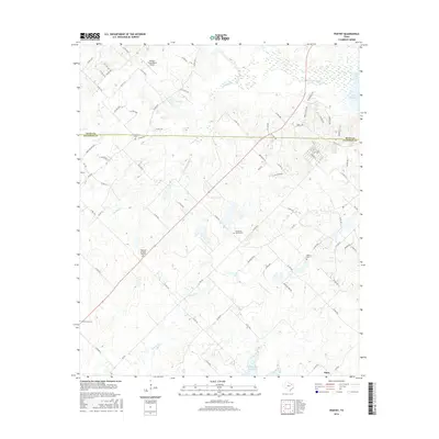 2016 Poetry2016 Print · USGSThe rural borderlands between Hunt and Kaufman Counties are captured here in the mid-2010s, showing a landscape of dispersed farmsteads and small communities. Genealogists and local historians can locate several rural cemeteries like Henderson Mosley Cem and Weaver Cem alongside the Phillips Flying Ranch Airport.
- 2019 Map of Poetry, 2019 Print
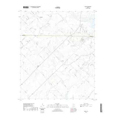 2019 Poetry2019 Print · USGSThe rural borderlands of Hunt and Kaufman counties are shown here as they appeared in the late 2010s, where the S Fork Sabine River feeds into Lake Tawakoni. Family researchers can locate several local burial grounds, including Weaver Cem and Campground Cem.
- 2022 Map of Poetry, 2022 Print
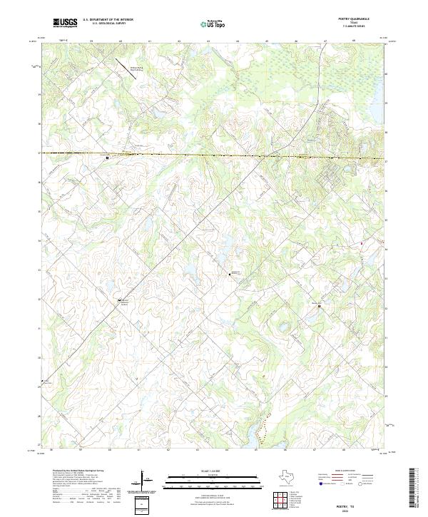 2022 Poetry2022 Print · USGSThe borderlands of Hunt and Kaufman counties are captured here in the early twenty-first century, showing a landscape defined by the Sabine River's reaches. Researchers can trace local lineage through several rural burial sites, including Camp Ground Cem, Henderson Mosley Cem, and Weaver Cem.
End of results
Showing maps 1-10 of 10
Top cities near Poetry
- Dallas historical maps
- Mesquite historical maps
- Rockwall historical maps
- Wylie historical maps
- Forney historical maps
- Fate historical maps
See more
Frequently asked questions
- What are the different types of historical maps available for Poetry?
- What is the oldest map of Poetry?
- Where can I purchase historical maps of Poetry for my home or office?
- Where can I download high-res historical maps of Poetry?
- Are there historical topographic maps available for Poetry?
- Is there historical aerial imagery available for Poetry?
- Where are historical maps of Poetry sourced from?