Old Maps of Boerne, Texas for Metal Detecting
Plan your next treasure hunt with 33 historic maps of Boerne. Find old homesites, ghost towns, trails, and gathering spots that may be lost to time — perfect for identifying promising metal detecting locations.
- Locate forgotten sites: Uncover places like long-lost settlements, abandoned rail lines, or gathering spots.
- Plan better hunts: Use map overlays combined with LiDAR or satellite views to narrow in on historically rich areas.
- Made for detectorists: Thousands of hobbyists use these maps to discover relics, coins, and hidden history.
Use these historic maps to boost your research and find new opportunities beneath the surface of Boerne.
Boerne, TX maps
(33)- 1953 Map of Van Raub, 1959 Print
 1953 Van Raub1959 Print · USGSBexar County ranch land and military outposts are detailed here in the early fifties. Genealogists can locate the Lower Balcones Sch, trace the Southern Pacific line near Van Raub, and find family sites near Leon Springs.
 - 1954 Map of San Antonio, 1964 Print
 1954 San Antonio1964 Print · USGSSan Antonio and the Texas Hill Country are captured here in the mid-fifties, showing a landscape defined by massive military air bases and the rising Canyon Reservoir. Trace family ties through historic rail towns like D'Hanis and Castroville or explore the Cold War footprint of Lackland AFB and Randolph AFB.3 unique versions available
 - 1956 Map of Comfort
 1956 Comfort1956 Print · USGSThe Guadalupe River valley in the mid-fifties shows a landscape of rural schools and Hill Country retreats. Genealogists can trace family landmarks like the Hermann Sons Home, Camp Idlewilde, and the Union Valley School along the rail lines.
 - 1956 Map of Medina Lake
 1956 Medina Lake1956 Print · USGSMedina Lake and the surrounding Texas highlands are captured here in the 1920s and early 1930s. Genealogists and local historians can trace family properties like Kallison Ranch and the Granieri Hotel, or locate landmarks such as the Mico P.O. and Toll Gate.
 - 1957 Map of Boerne
 1957 Boerne1957 Print · USGSThe Texas Hill Country around the mid-century shows a network of family ranch-lands and rural schoolhouses. Genealogists can trace family homesteads like E Fischer or Zoeller and locate historic sites such as Cascade Cavern and Bergheim Cemetery.
 - 1957 Map of San Antonio
 1957 San Antonio1957 Print · USGSSan Antonio and the Texas Hill Country are shown here during the mid-fifties, capturing the region's expanding post-war military and transportation footprint. Genealogists and local historians can trace the early residential boundaries of Alamo Heights or locate rural landmarks like St Hedwig and Medina Lake.
 - 1964 Map of Boerne, 1967 Print
 1964 Boerne1967 Print · USGSMid-century Boerne serves as the anchor for this 1960s Hill Country survey as the town begins to expand around its historic rail line. Researchers can locate family landmarks like Phillips Cem, the Herff Park Fairground, and the subterranean Cascade Cavern.4 unique versions available
 - 1964 Map of Ranger Creek, 1968 Print
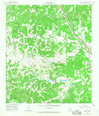 1964 Ranger Creek1968 Print · USGSCentral Kendall County is captured in the mid-sixties, showing a landscape of limestone hills and creek-fed valleys. Genealogists and researchers can trace the Southern Pacific line near Spanish Pass or locate Frederick and Lake Oz.2 unique versions available
 - 1967 Map of Van Raub, 1969 Print
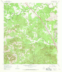 1967 Van Raub1969 Print · USGSBexar County's Hill Country transition comes into focus in the late 1960s as suburban growth began to meet historic ranchlands. Researchers can trace the Southern Pacific rail line, old school sites at Leon Springs, and family burial grounds like Robles Cem.3 unique versions available
 - 1970 Map of Jack Mountain, 1973 Print
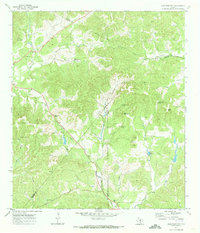 1970 Jack Mountain1973 Print · USGSThe Texas Hill Country at the intersection of Bandera, Bexar, and Medina counties is captured here in the early seventies. Genealogists and local researchers can trace family landmarks like the Heimsath Cem and the Clifton Sch among the springs of San Geronimo Creek.2 unique versions available
 - 1985 Map of New Braunfels
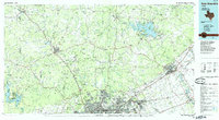 1985 New Braunfels1985 Print · USGSThe Texas Hill Country meets the growing San Antonio suburbs in the mid-1980s, showing a landscape of river-fed towns and military grounds. Trace family roots in historic Gruene or Boerne, and locate landmarks like Canyon Lake and Randolph Air Force Base.
 - 1991 Map of Van Raub
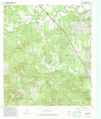 1991 Van Raub1991 Print · USGSThe Texas Hill Country north of San Antonio is captured here in the early nineties, showing a mix of ranch land and growing suburban centers. Researchers can trace historic family sites and early infrastructure near Fair Oaks Ranch, Van Raub, and Robles Cem.
 - 1992 Map of New Braunfels
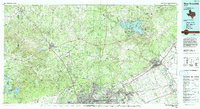 1992 New Braunfels1992 Print · USGSThe San Antonio and New Braunfels corridor was expanding rapidly in the early nineties, balancing heavy military presence with Hill Country recreation. Trace the footprint of CAMP BULLIS MILITARY RESERVATION or locate old railroad stops along the Southern Pacific and Missouri Pacific lines.2 unique versions available
 - 2010 Map of Jack Mountain, 2010 Print
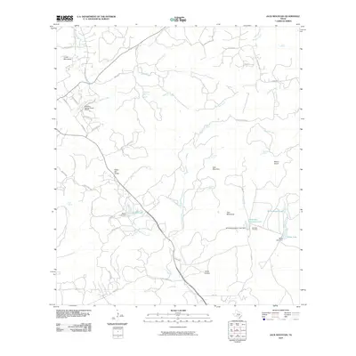 2010 Jack Mountain2010 Print · USGSKendall County ranch lands and rugged peaks are documented here during a period of modern rural growth. Genealogists and local historians can locate Heimsath Cemetery and trace water sources like Beekman Spring or the Walton Lake dam.
 - 2010 Map of Ranger Creek, 2010 Print
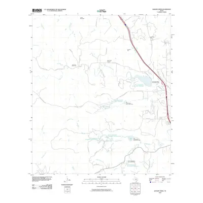 2010 Ranger Creek2010 Print · USGSThe ranch lands and creek valleys of Kendall County are captured in the early twenty-first century, showing a landscape defined by water and terrain. Genealogists and local historians can locate the Upper Cibolo Community Cemetery, Spanish Pass, and Sycamore Ridge Camp.
 - 2010 Map of Van Raub, 2010 Print
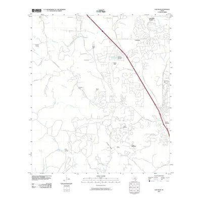 2010 Van Raub2010 Print · USGSThe northern Bexar County suburbs meet the Hill Country in the early twenty-first century, showing a landscape of growing residential tracts and old ranch lands. Researchers can locate family burial grounds like Robles Cemetery and historic transit landmarks including Boerne Stage Field.
 - 2010 Map of Boerne, 2010 Print
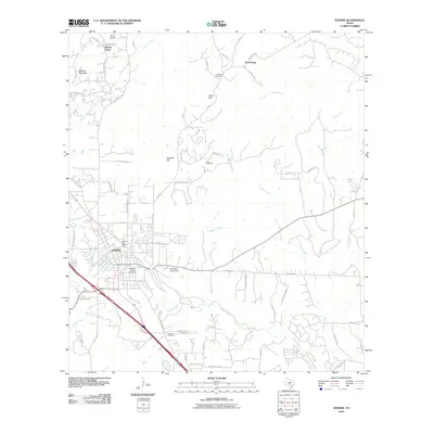 2010 Boerne2010 Print · USGSBoerne and the surrounding Kendall County landscape are captured here in a period of transition during the early twenty-first century. Genealogists and local historians can locate family landmarks like Kreutzberg Cemetery, the Herff Park Fairground, and the historic Boerne Post Office.
 - 2013 Map of Boerne, 2013 Print
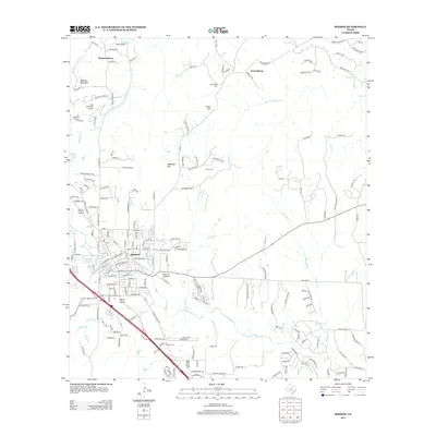 2013 Boerne2013 Print · USGSBoerne and the surrounding Texas Hill Country are captured here in the early twenty-first century as suburban growth reaches into the limestone hills. Local historians can trace the landscape from Boerne out to Kreutzberg, locating Wren Cem and the Herff Park Fairground.
 - 2013 Map of Ranger Creek, 2013 Print
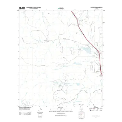 2013 Ranger Creek2013 Print · USGSThe Hill Country north of Boerne comes into focus during this period of transition from ranching to residential growth. Genealogists and local historians can trace the Upper Cibolo Community Cem or locate Comanche Spring and Sycamore Ridge Camp.
 - 2013 Map of Jack Mountain, 2013 Print
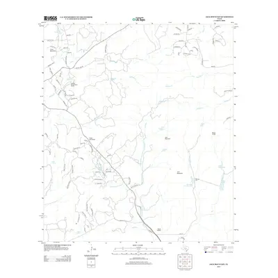 2013 Jack Mountain2013 Print · USGSTexas Hill Country ranching and residential growth are visible here in the early 2010s as modern subdivisions meet historic land tracts. Researchers can locate the Heimsath Cem, trace the San Geronimo Cr, and find family-named landmarks like Mount Smith.
 - 2013 Map of Van Raub, 2013 Print
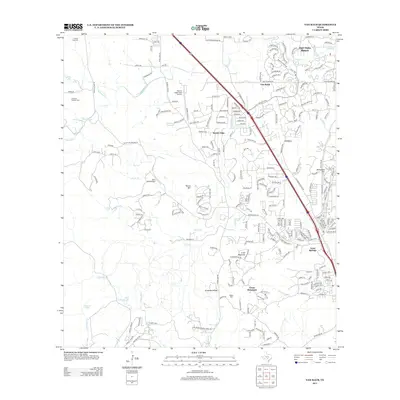 2013 Van Raub2013 Print · USGSThe Texas Hill Country north of San Antonio shows its rapid modern expansion in the early 2010s. Genealogists and local historians can trace family markers at Cole And Hugman Cem and Robles Cem or locate the historic core of Leon Springs.
 - 2016 Map of Boerne, 2016 Print
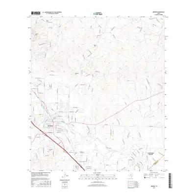 2016 Boerne2016 Print · USGSThe Texas Hill Country around Boerne is captured here during a period of modern suburban growth. Researchers can trace family history at Howard Cemetery and Wrenn Cemetery or explore the rugged drainage of Cibolo Creek.
 - 2016 Map of Jack Mountain, 2016 Print
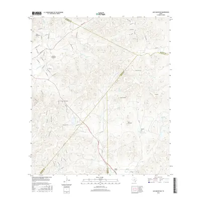 2016 Jack Mountain2016 Print · USGSThe rugged Hill Country near the intersection of Kendall and Bandera counties comes alive in this modern survey. Genealogists and local historians can locate the Heimsath Cemetery or trace the drainage of San Geronimo Creek and the heights of Jack Mountain.
 - 2016 Map of Ranger Creek, 2016 Print
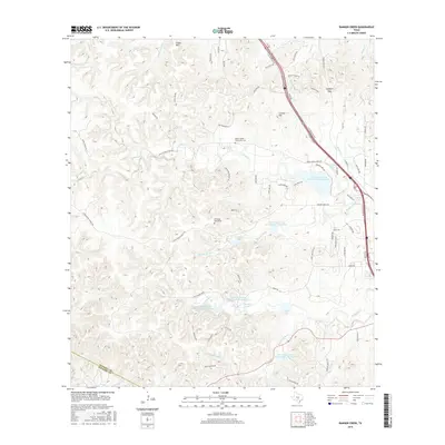 2016 Ranger Creek2016 Print · USGSKendall County land and water management are on full display in this mid-2010s survey of the Hill Country. Researchers can locate family heritage sites like the Upper Cibolo Community Cem and the Dantziger Monument near Spanish Pass.
 - 2016 Map of Van Raub, 2016 Print
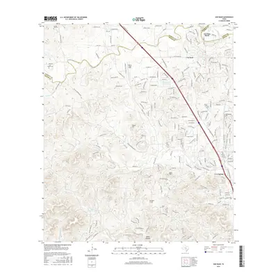 2016 Van Raub2016 Print · USGSThe San Antonio periphery in the mid-2010s shows the suburban shift of the Texas Hill Country. Researchers can locate family burial sites like Charles Cole Cem or trace the drainage of Leon Cr near Leon Springs and Van Raub.
Showing maps 1-25 of 33
Top cities near Boerne
- San Antonio historical maps
- Lakehills historical maps
- Helotes historical maps
- Fair Oaks Ranch historical maps
- Bulverde historical maps
- Shavano Park historical maps
See more
Top neighborhoods of Boerne
Frequently asked questions
- What are the different types of historical maps available for Boerne?
- What is the oldest map of Boerne?
- Where can I purchase historical maps of Boerne for my home or office?
- Where can I download high-res historical maps of Boerne?
- Are there historical topographic maps available for Boerne?
- Is there historical aerial imagery available for Boerne?
- Where are historical maps of Boerne sourced from?