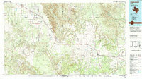
Old Maps of Jayton, Texas for Academic Research
Study the evolution of Jayton with 14 high-resolution historic maps. Whether you're teaching, researching, or modeling changes in land use, these maps provide essential visual documentation of urban, environmental, and geographic change.
- Analyze long-term change: Track patterns in development, transportation, and natural features.
- Ideal for environmental or urban studies: Support academic projects with primary historical map data.
- Use in the classroom or lab: Educators and researchers rely on these maps to bring historical context to life.
These maps are a powerful tool for teaching, research, and visualizing how Jayton has changed over the decades.
Jayton, TX maps
(14)- 1954 Map of Lubbock, 1958 Print
 1954 Lubbock1958 Print · USGSThe High Plains and Caprock region of West Texas come alive in the mid-1950s, showing a landscape defined by oil discovery and the Brazos River headwaters. Genealogists and historians can trace rail-connected towns like Roaring Springs, find the Pleasant Valley church, or locate family-named landmarks such as Soldier Mound.4 unique versions available
 - 1958 Map of Jayton, 1960 Print
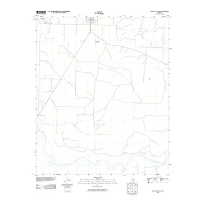
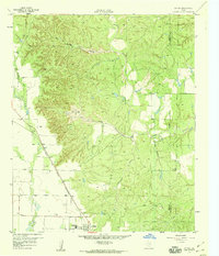 1958 Jayton1960 Print · USGSJayton and the West Texas canyonlands are captured here in the late fifties, just as the local rail and road networks were established. Trace the Fort Worth and Denver (Burlington) line past Jayton Cem and the northern Airstrip.2 unique versions available
 - 1969 Map of Jayton South, 1972 Print
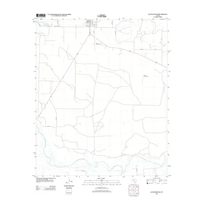
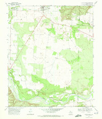 1969 Jayton South1972 Print · USGSKent County settlement and the West Texas plains are captured here in the late sixties as the local infrastructure evolved. Researchers can trace the path of the Old Railroad Grade, locate the town AQUEDUCT, and find the riverbanks of the Salt Fork Brazos River.
 - 1985 Map of Aspermont, 1994 Print
 1985 Aspermont1994 Print · USGSStonewall and Kent counties are shown in the mid-1980s as the river-cut plains of West Texas supported scattered ranching and oil communities. Genealogists and historians can trace the Railroad Grade and locate smaller locales like Old Glory and Girard.
 - 2010 Map of Jayton North, 2010 Print
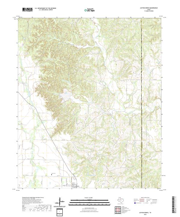
 2010 Jayton North2010 Print · USGSCovers Jayton, including Stonewall County, Kent County, and other nearby areas
 - 2010 Map of Jayton South, 2010 Print
 2010 Jayton South2010 Print · USGSCovers Jayton, including Stonewall County, Kent County, and other nearby areas
 - 2012 Map of Jayton South, 2012 Print
 2012 Jayton South2012 Print · USGSCovers Jayton, including Stonewall County, Kent County, and other nearby areas
 - 2012 Map of Jayton North, 2012 Print
 2012 Jayton North2012 Print · USGSCovers Jayton, including Stonewall County, Kent County, and other nearby areas
 - 2016 Map of Jayton South, 2016 Print
 2016 Jayton South2016 Print · USGSCovers Jayton, including Stonewall County, Kent County, and other nearby areas
 - 2016 Map of Jayton North, 2016 Print
 2016 Jayton North2016 Print · USGSCovers Jayton, including Stonewall County, Kent County, and other nearby areas
 - 2019 Map of Jayton South, 2019 Print
 2019 Jayton South2019 Print · USGSCovers Jayton, including Stonewall County, Kent County, and other nearby areas
 - 2019 Map of Jayton North, 2019 Print
 2019 Jayton North2019 Print · USGSCovers Jayton, including Stonewall County, Kent County, and other nearby areas
 - 2022 Map of Jayton North, 2022 Print
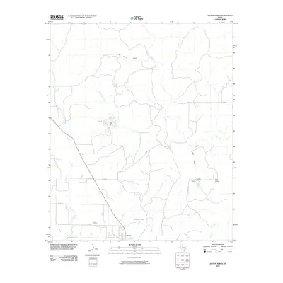
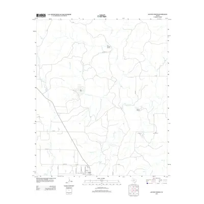
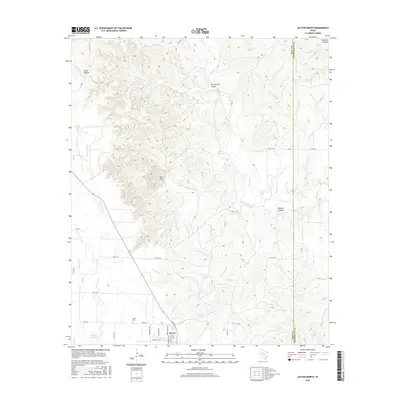
 2022 Jayton North2022 Print · USGSThe Kent County seat and its surrounding canyonlands appear here in the early 2020s as a landscape of remote ranch roads and rugged drainages. Genealogists and local historians can trace the town grid of Jayton, locate the Jayton Cemetery, and find landmarks like the Railroad Tank.
 - 2022 Map of Jayton South, 2022 Print
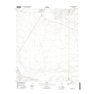
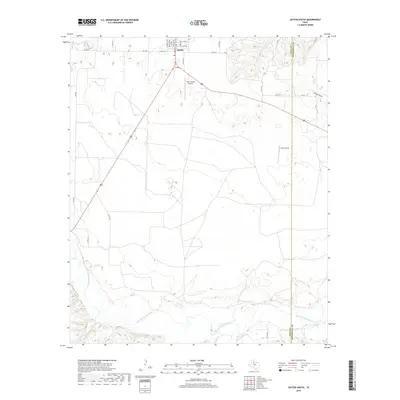
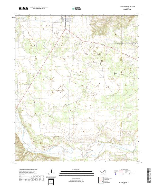 2022 Jayton South2022 Print · USGSThe Kent County seat and the winding Brazos riverlands are documented here in the early twenty-first century. Genealogists and local historians can trace the streets of Jayton and locate regional landmarks like the Kent County Courthouse and Norris Field.
End of results
Showing maps 1-14 of 14
Frequently asked questions
- What are the different types of historical maps available for Jayton?
- What is the oldest map of Jayton?
- Where can I purchase historical maps of Jayton for my home or office?
- Where can I download high-res historical maps of Jayton?
- Are there historical topographic maps available for Jayton?
- Is there historical aerial imagery available for Jayton?
- Where are historical maps of Jayton sourced from?