Old Maps of Finney, Texas for Genealogy
Trace your family roots with 8 historic maps of Finney. These high-res maps reveal old neighborhoods, homesites, landmarks, and streets — helping you uncover where your ancestors lived and how the area evolved over time.
- Explore historic neighborhoods: Identify where your relatives may have lived in the 1800s or 1900s.
- Compare maps over time: Trace the changes in streets, buildings, and landmarks for multi-generational research.
- Perfect for genealogy & ancestry research: Used by family historians and researchers to map out lineage and migration.
These maps are an incredible resource for exploring your personal connection to Finney's past.
Finney, TX maps
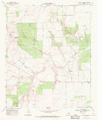
(8)- 1954 Map of Lubbock, 1958 Print
 1954 Lubbock1958 Print · USGSThe High Plains and Caprock region of West Texas come alive in the mid-1950s, showing a landscape defined by oil discovery and the Brazos River headwaters. Genealogists and historians can trace rail-connected towns like Roaring Springs, find the Pleasant Valley church, or locate family-named landmarks such as Soldier Mound.4 unique versions available
 - 1968 Map of Buffalo Creek, 1970 Print
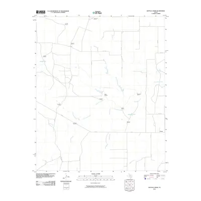
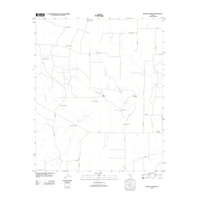
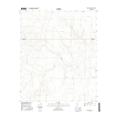
 1968 Buffalo Creek1970 Print · USGSThe ranchlands along the Cottle and King county line are captured here in the late 1960s as they are carved by the North Wichita River. Genealogists and historians can trace family-named landmarks like Snakey Futch Windmill, Camp Hollar Windmill, and the settlement of Delwin.2 unique versions available
 - 1985 Map of Dickens
 1985 Dickens1985 Print · USGSThe West Texas ranchlands near the Dickens and King County lines are shown here in the mid-eighties as a network of rural settlements and canyon terrain. Trace family roots or land boundaries near Roaring Springs, Soldier Mound, or the Fort Worth and Denver Railroad.2 unique versions available
 - 2010 Map of Buffalo Creek, 2010 Print
 2010 Buffalo Creek2010 Print · USGSCovers Finney, including King County, Cottle County, and other nearby areas
 - 2012 Map of Buffalo Creek, 2012 Print
 2012 Buffalo Creek2012 Print · USGSCovers Finney, including King County, Cottle County, and other nearby areas
 - 2016 Map of Buffalo Creek, 2016 Print
 2016 Buffalo Creek2016 Print · USGSCovers Finney, including King County, Cottle County, and other nearby areas
 - 2019 Map of Buffalo Creek, 2019 Print
 2019 Buffalo Creek2019 Print · USGSCovers Finney, including King County, Cottle County, and other nearby areas
 - 2022 Map of Buffalo Creek, 2022 Print
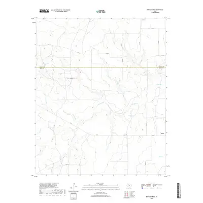
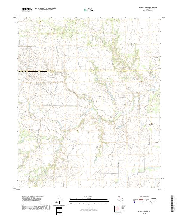 2022 Buffalo Creek2022 Print · USGSThe Rolling Plains of King and Cottle counties come to life in this recent survey of the Texas cattle country. Researchers can trace land boundaries near Delwin or follow the winding N Wichita River past Water Canyon and Hackberry Tank.
End of results
Showing maps 1-8 of 8
Top cities near Finney
Frequently asked questions
- What are the different types of historical maps available for Finney?
- What is the oldest map of Finney?
- Where can I purchase historical maps of Finney for my home or office?
- Where can I download high-res historical maps of Finney?
- Are there historical topographic maps available for Finney?
- Is there historical aerial imagery available for Finney?
- Where are historical maps of Finney sourced from?