Old Maps of Kingsville, Texas for Hiking & Exploration
Hike through history with 34 historic maps of Kingsville. Explore old trails, ghost towns, and forgotten backroads — perfect for outdoor adventurers and local explorers.
- Rediscover forgotten places: Map out old mining camps, roads, and footpaths that no longer exist on modern maps.
- Layer with modern tools: Combine with LiDAR or satellite views to plan hikes through historical terrain.
- Made for exploration: Popular among hikers, overlanders, and local history lovers.
Use these maps to find adventure and explore the hidden past of Kingsville.
Kingsville, TX maps
(34)- 1928 Map of Sarita
 1928 Sarita1928 Print · USGSSouth Texas ranching country and the coastal prairies are shown here during the early twentieth century. Researchers can trace family-named holdings like Kennedy Farm, ranch outposts at Novillos Mott, and rail sidings at Mifflin.
 - 1950 Map of Corpus Christi, 1953 Print
 1950 Corpus Christi1953 Print · USGSThe South Texas coast comes into focus during the early fifties, showing the interplay between booming oil fields and expansive ranching operations. Genealogists and historians can trace the Texas Mexican rail line through Kingsville or locate heritage sites like Chapman Ranch and Riviera Beach.
 - 1954 Map of Kingsville, 1956 Print
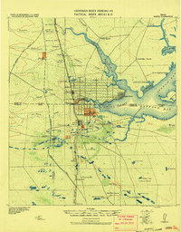
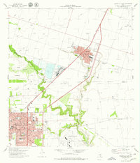
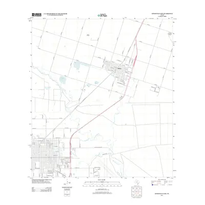
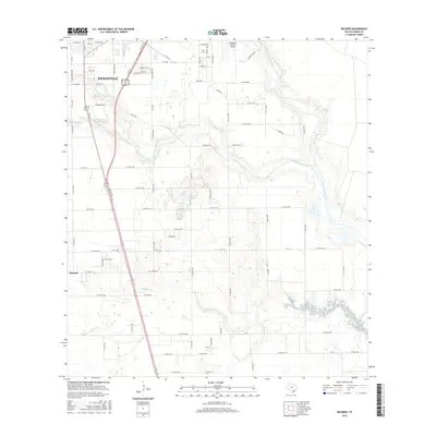
 1954 Kingsville1956 Print · USGSCoastal Bend life in the 1950s centered on the growing college town of Kingsville and the nearby naval installations. Local historians can trace the early footprint of the Texas College of Arts and Industries, the Celanese Plant, and the borders of the King Ranch.2 unique versions available
 - 1954 Map of Riviera, 1957 Print
 1954 Riviera1957 Print · USGSKleberg County in the mid-fifties is captured here as a landscape of military aviation, large-scale ranching, and emerging oil fields. Researchers can trace family windmills, old school sites like San Fernando Sch, and the grounds of the Texas and Mexican Industrial Institute.
 - 1956 Map of Corpus Christi
 1956 Corpus Christi1956 Print · USGSThe South Texas coast and the burgeoning port of Corpus Christi are captured here during the mid-fifties. Genealogists and historians can trace the rail-and-oil economy through labels like Robstown Airpark, Chapman Ranch, and the Missouri Pacific railroad.
 - 1960 Map of Corpus Christi
 1960 Corpus Christi1960 Print · USGSCoastal South Texas and the Nueces County hinterlands are detailed in this mid-century survey. Genealogists and historians can trace early settlement patterns and rural landmarks like Casa Blanca during a period of steady regional growth.
 - 1966 Map of Corpus Christi
 1966 Corpus Christi1966 Print · USGSThe Texas Coastal Bend in the mid-1960s reveals a landscape where massive cattle empires and strategic military bases meet the Gulf. Trace the vast reaches of King Ranch or locate aviation history at the Corpus Christi Air Station and Kingsville Air Station.
 - 1979 Map of Escondido Lake
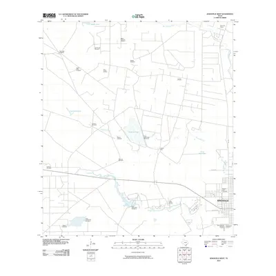
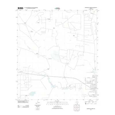
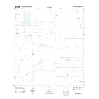
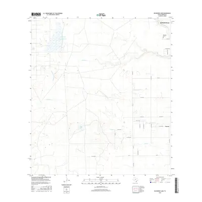
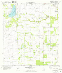 1979 Escondido Lake1979 Print · USGSSouth Texas ranching country in the late seventies is a landscape of named windmills and seasonal watercourses. Genealogists and historians can trace the geography of local holdings via Santa Gertrudis Windmill, Escondido Lake, and Rest Haven Memorial Park (Cem).
 - 1979 Map of Kingsville West
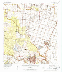
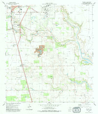
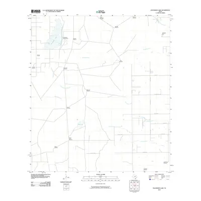
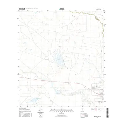
 1979 Kingsville West1979 Print · USGSThe western reaches of Kingsville are shown here during the late 1970s, where the legacy of the ranching industry meets the modern oil boom. Genealogists and historians can trace the grounds of King Ranch, locate the Harrel School, and identify gravesites at Chamberlain Cemetery.
 - 1979 Map of Ricardo
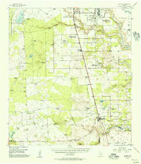
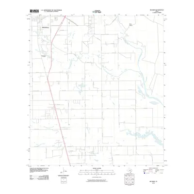
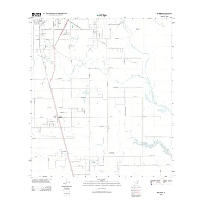
 1979 Ricardo1979 Print · USGSCoastal Texas ranching and aviation culture converge in the late seventies near KINGSVILLE and the Naval Air Station. Genealogists and historians can trace rail-side growth at Ricardo and locate local landmarks like Perez Sch and the Bordo Nuevo Windmill.
 - 1979 Map of Kingsville East
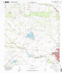
 1979 Kingsville East1979 Print · USGSThe South Texas coastal plain thrives in the late seventies through oil production and aviation. Genealogists and historians can trace neighborhood schools like Mc Roberts Sch, the grounds of Restland Memorial Park, and the industrial footprint of the Chemical Plant.
 - 1984 Map of Corpus Christi
 1984 Corpus Christi1984 Print · USGSThe Texas Coastal Bend in the 1980s reveals a landscape defined by deep-water ports and sprawling ranchlands. Researchers can trace the rail lines of the Texas Mexican railroad or locate historical landmarks like the Chapman Ranch and Seaside Memorial Cem.
 - 1984 Map of Baffin Bay
 1984 Baffin Bay1984 Print · USGSThe South Texas coast near Kingsville and the Kenedy County line comes into focus in the mid-1980s. Genealogists and historians can locate family landmarks like Chamberlain Cem, the community of Vattmannville, and the extensive grounds of La Parra Ranch.
 - 1989 Map of Corpus Christi, 1991 Print
 1989 Corpus Christi1991 Print · USGSCoastal South Texas and its deep bays are captured here in the late eighties, showcasing a landscape of military aviation and barrier island preservation. Researchers can trace family roots in Petronila or Vattmannville and locate landmarks like Cabaniss Field and Baffin.
 - 2010 Map of Kingsville East, 2010 Print
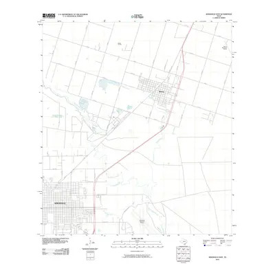 2010 Kingsville East2010 Print · USGSCovers Kingsville, including Bishop, Nueces County, and other nearby areas
 - 2010 Map of Kingsville West, 2010 Print
 2010 Kingsville West2010 Print · USGSCovers Kingsville, including Nueces County, Kleberg County, and other nearby areas
 - 2010 Map of Ricardo, 2010 Print
 2010 Ricardo2010 Print · USGSCovers Kingsville, including Ricardo, Kleberg County, and other nearby areas
 - 2010 Map of Escondido Lake, 2010 Print
 2010 Escondido Lake2010 Print · USGSCovers Kingsville, including Kleberg County, United States, and other nearby areas
 - 2013 Map of Kingsville West, 2013 Print
 2013 Kingsville West2013 Print · USGSCovers Kingsville, including Nueces County, Kleberg County, and other nearby areas
 - 2013 Map of Kingsville East, 2013 Print
 2013 Kingsville East2013 Print · USGSCovers Kingsville, including Bishop, Nueces County, and other nearby areas
 - 2013 Map of Escondido Lake, 2013 Print
 2013 Escondido Lake2013 Print · USGSCovers Kingsville, including Kleberg County, United States, and other nearby areas
 - 2013 Map of Ricardo, 2013 Print
 2013 Ricardo2013 Print · USGSCovers Kingsville, including Ricardo, Kleberg County, and other nearby areas
 - 2016 Map of Kingsville West, 2016 Print
 2016 Kingsville West2016 Print · USGSCovers Kingsville, including Nueces County, Kleberg County, and other nearby areas
 - 2016 Map of Escondido Lake, 2016 Print
 2016 Escondido Lake2016 Print · USGSCovers Kingsville, including Kleberg County, United States, and other nearby areas
 - 2016 Map of Ricardo, 2016 Print
 2016 Ricardo2016 Print · USGSCovers Kingsville, including Ricardo, Kleberg County, and other nearby areas
Showing maps 1-25 of 34
Top cities near Kingsville
- Corpus Christi historical maps
- Alice historical maps
- Bishop historical maps
- Ben Bolt historical maps
- Driscoll historical maps
- Petronila historical maps
Frequently asked questions
- What are the different types of historical maps available for Kingsville?
- What is the oldest map of Kingsville?
- Where can I purchase historical maps of Kingsville for my home or office?
- Where can I download high-res historical maps of Kingsville?
- Are there historical topographic maps available for Kingsville?
- Is there historical aerial imagery available for Kingsville?
- Where are historical maps of Kingsville sourced from?