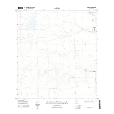
2016 Map of Escondido Lake
USGS Topo · Published 2016About this map
King Ranch property dominates the center of this South Texas coastal plain landscape, where the ephemeral waterways of the Wild Horse Desert shape the land. The drainage patterns of Santa Gertrudis Cr, Escondido Cr, and Jaboncillos Cr weave across a largely open territory, punctuated by isolated water features like Zaino Lake and the marshy expanse of Charco Largo.
Find a feature on this map
31 named features on this map. Tap any name to fly to it.
Don’t see what you’re looking for? This feature index may not catch every label — zoom into the map to look around manually.
Map Details
Editions of this 2016 Escondido Lake Map
This is the sole edition of this map. No revisions or reprints were ever made.
Other maps of this area
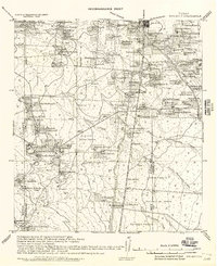
1917 · Ben Bolt
USGS Topo · 1:62,500
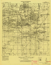
1921 · Falfurrias
USGS Topo · 1:125,000
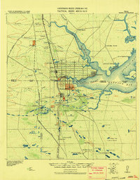
1928 · Sarita
USGS Topo · 1:125,000
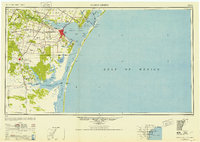
1950 · Corpus Christi
USGS Topo · 1:250,000
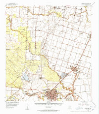
1954 · Kingsville
USGS Topo · 1:62,500
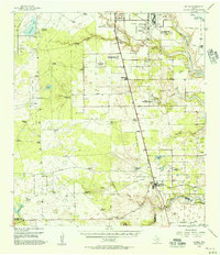
1954 · Riviera
USGS Topo · 1:62,500
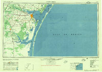
1956 · Corpus Christi
USGS Topo · 1:250,000
1956 · Laredo
USGS Topo · 1:250,000
1960 · Corpus Christi
USGS Topo · 1:250,000
1963 · Ben Bolt SE
USGS Topo · 1:24,000