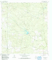
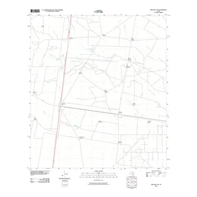
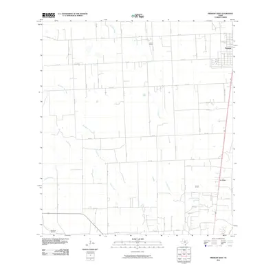
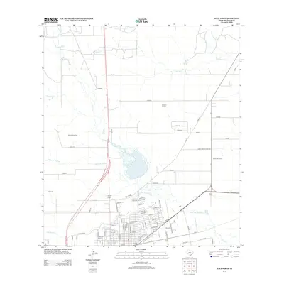
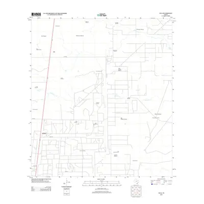
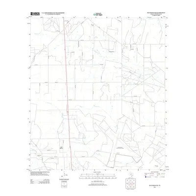
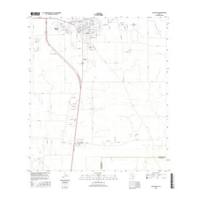
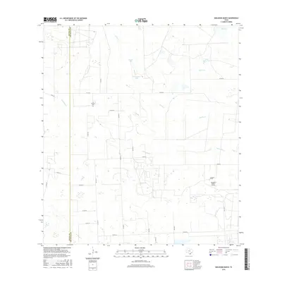
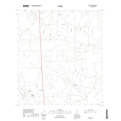
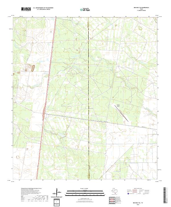
1963 Map of Ben Bolt SE
USGS Topo · Published 1964About this map
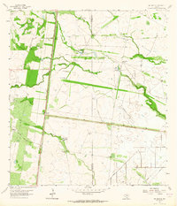
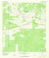
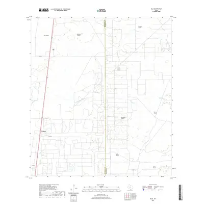
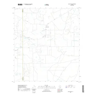
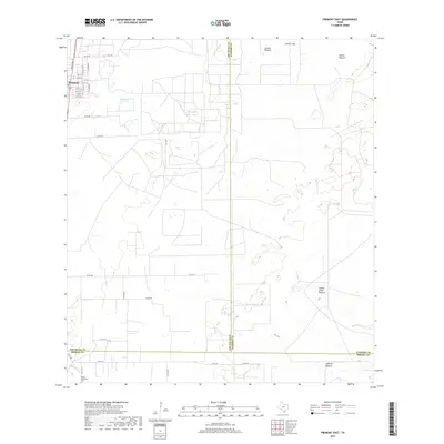
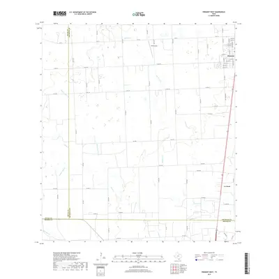
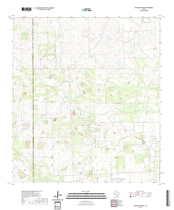
Kingsville Ranch territory dominates this South Texas landscape in the early 1960s, defined by its expansive drainage systems and agricultural infrastructure. The Southern Pacific railroad runs north-to-south, paralleling a string of water features including Trinidad Lake and Chivos Lake. This era shows a working ranchland dependent on scattered water sources, evidenced by the numerous named windmills like El Parr Windmill and Hormigas Windmill that dot the terrain.
Find a feature on this map
27 named features on this map. Tap any name to fly to it.
Don’t see what you’re looking for? This feature index may not catch every label — zoom into the map to look around manually.
Map Details
Editions of this 1963 Ben Bolt SE Map
This is the sole edition of this map. No revisions or reprints were ever made.
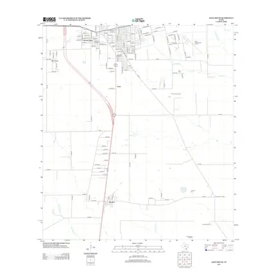
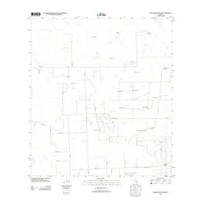
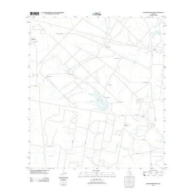
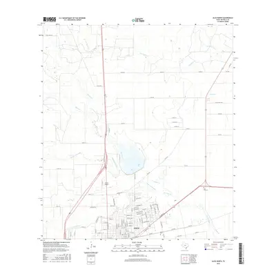
Historical Maps of Jim Wells County Through Time
67 maps found

1925 Mathis No. 3
Jim Wells County, TX
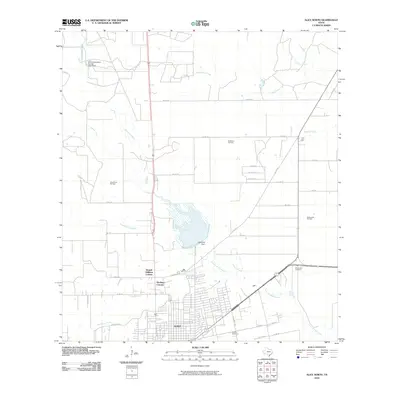
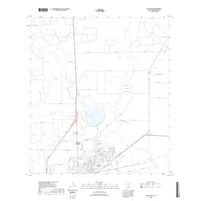
1963 Alice North
Jim Wells County, TX

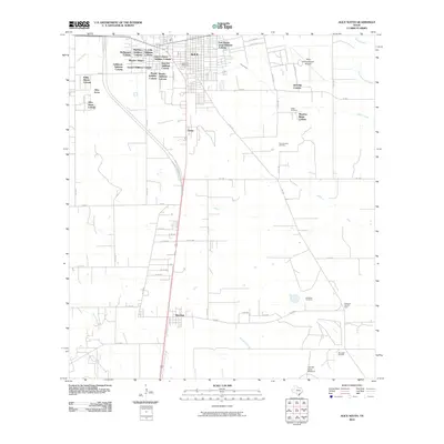
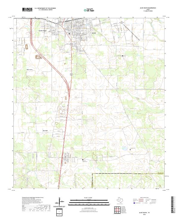
1963 Alice South
Jim Wells County, TX
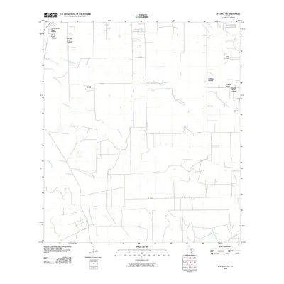
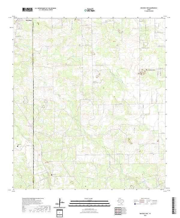
1963 Ben Bolt NW
Jim Wells County, TX
1963 Ben Bolt SE
Jim Wells County, TX
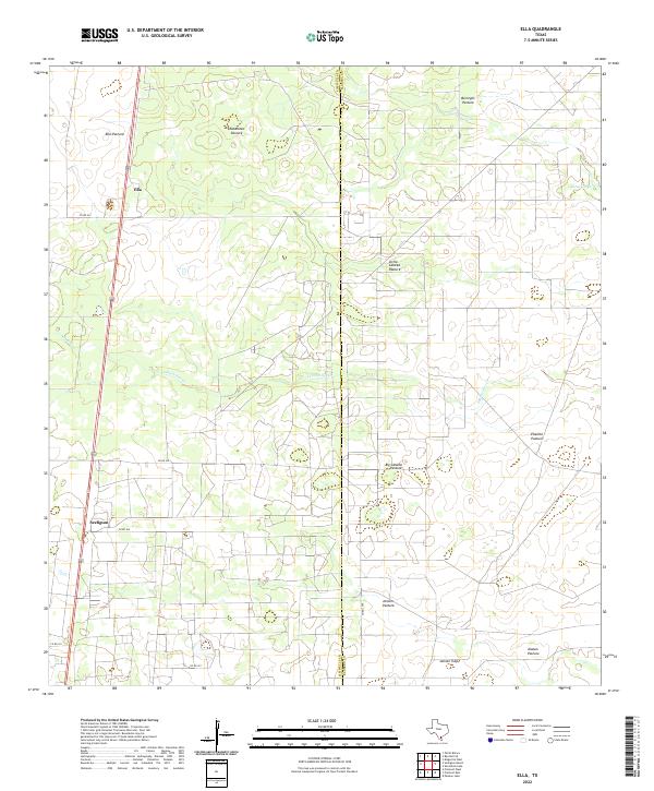
1963 Ella
Jim Wells County, TX
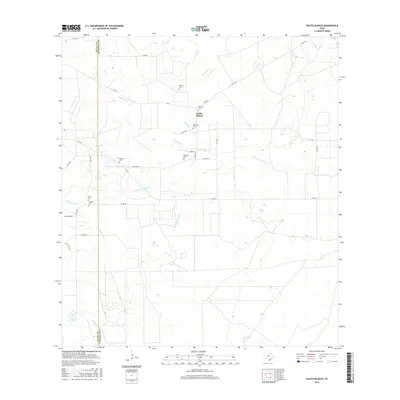
1963 Palito Blanco
Jim Wells County, TX
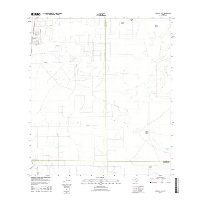
1963 Premont East
Jim Wells County, TX

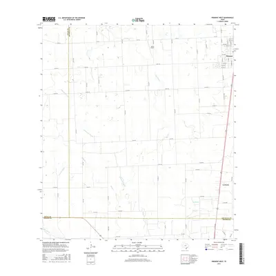
1963 Premont West
Jim Wells County, TX
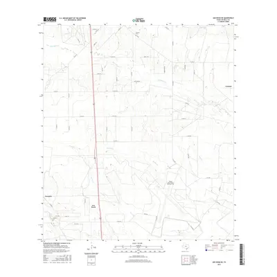
1963 San Diego NE
Jim Wells County, TX
1963 Seeligson Ranch
Jim Wells County, TX
1963 Shaeffer Ranch
Jim Wells County, TX
2010 Alice North
Jim Wells County, TX
2010 Alice South
Jim Wells County, TX
2010 Ben Bolt NW
Jim Wells County, TX
2010 Ben Bolt SE
Jim Wells County, TX
2010 Ella
Jim Wells County, TX
2010 Palito Blanco
Jim Wells County, TX
2010 Premont East
Jim Wells County, TX
2010 Premont West
Jim Wells County, TX
2010 San Diego NE
Jim Wells County, TX
2010 Seeligson Ranch
Jim Wells County, TX
2010 Shaeffer Ranch
Jim Wells County, TX
2013 Alice North
Jim Wells County, TX
2013 Alice South
Jim Wells County, TX
2013 Ben Bolt NW
Jim Wells County, TX
2013 Ben Bolt SE
Jim Wells County, TX
2013 Ella
Jim Wells County, TX
2013 Palito Blanco
Jim Wells County, TX
2013 Premont East
Jim Wells County, TX
2013 Premont West
Jim Wells County, TX
2013 San Diego NE
Jim Wells County, TX
2013 Seeligson Ranch
Jim Wells County, TX
2013 Shaeffer Ranch
Jim Wells County, TX
2016 Alice North
Jim Wells County, TX
2016 Alice South
Jim Wells County, TX
2016 Ben Bolt NW
Jim Wells County, TX
2016 Ben Bolt SE
Jim Wells County, TX
2016 Ella
Jim Wells County, TX
2016 Palito Blanco
Jim Wells County, TX
2016 Premont East
Jim Wells County, TX
2016 Premont West
Jim Wells County, TX
2016 San Diego NE
Jim Wells County, TX
2016 Seeligson Ranch
Jim Wells County, TX

2016 Shaeffer Ranch
Jim Wells County, TX
2019 Alice North
Jim Wells County, TX

2019 Alice South
Jim Wells County, TX
2019 Ben Bolt NW
Jim Wells County, TX
2019 Ben Bolt SE
Jim Wells County, TX
2019 Ella
Jim Wells County, TX
2019 Palito Blanco
Jim Wells County, TX
2019 Premont East
Jim Wells County, TX
2019 Premont West
Jim Wells County, TX
2019 San Diego NE
Jim Wells County, TX
2019 Seeligson Ranch
Jim Wells County, TX
2019 Shaeffer Ranch
Jim Wells County, TX
2022 Alice North
Jim Wells County, TX
2022 Alice South
Jim Wells County, TX
2022 Ben Bolt NW
Jim Wells County, TX
2022 Ben Bolt SE
Jim Wells County, TX
2022 Ella
Jim Wells County, TX
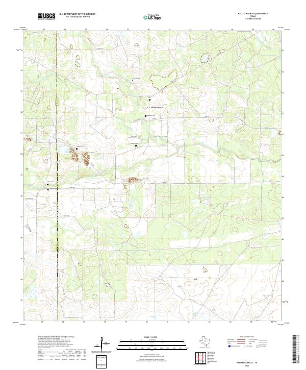
2022 Palito Blanco
Jim Wells County, TX
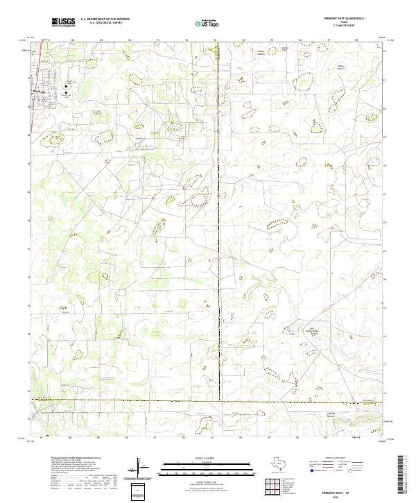
2022 Premont East
Jim Wells County, TX
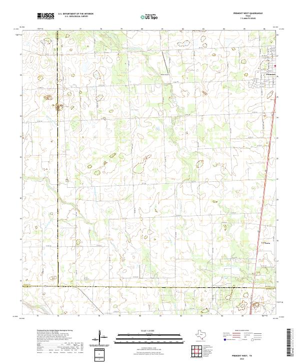
2022 Premont West
Jim Wells County, TX
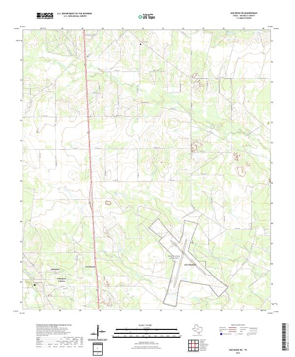
2022 San Diego NE
Jim Wells County, TX
2022 Seeligson Ranch
Jim Wells County, TX
2022 Shaeffer Ranch
Jim Wells County, TX