
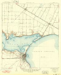
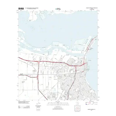
1960 Map of Corpus Christi
USGS Topo · Published 1960About this map
The coastal landscapes of South Texas are depicted here as they appeared in the mid-1950s, captured by the U.S. Geological Survey and the Army Map Service. The map highlights the sparse settlement patterns and the expansive rural geography surrounding the Nueces County area. One of the few specifically named small settlements shown is Casa Blanca, providing a rare reference point for genealogists and local historians tracing the development of early ranching and farming communities in this region. The document is an essential record of the coastal terrain and hinterlands before significant later development, offering a clear view of the natural landscape and early infrastructure of the Texas coast.
Find a feature on this map
1 named feature on this map. Tap any name to fly to it.
Don’t see what you’re looking for? This feature index may not catch every label — zoom into the map to look around manually.
Map Details
Editions of this 1960 Corpus Christi Map
This is the sole edition of this map. No revisions or reprints were ever made.
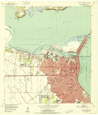
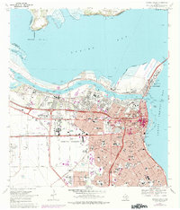
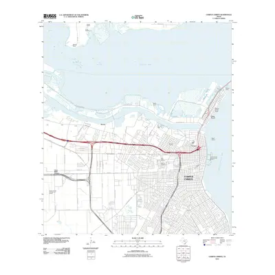
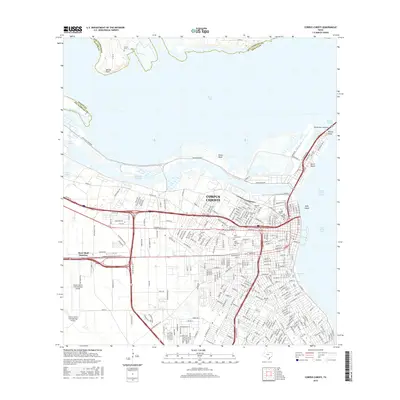
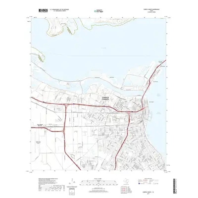
Historical Maps of Corpus Christi Through Time
15 maps found
1925 Corpus Christi
Nueces County, TX

1950 Corpus Christi
Nueces County, TX
1951 Corpus Christi
Nueces County, TX

1951 Corpus Christi
Nueces County, TX

1956 Corpus Christi
Nueces County, TX
1960 Corpus Christi
Nueces County, TX

1966 Corpus Christi
Nueces County, TX
1968 Corpus Christi
Nueces County, TX

1984 Corpus Christi
Nueces County, TX

1989 Corpus Christi
Nueces County, TX
2010 Corpus Christi
Nueces County, TX
2013 Corpus Christi
Nueces County, TX
2016 Corpus Christi
Nueces County, TX
2019 Corpus Christi
Nueces County, TX
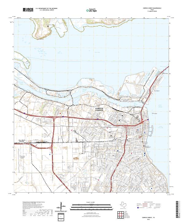
2022 Corpus Christi
Nueces County, TX