Old Maps of Rumley, Texas for Genealogy
Trace your family roots with 11 historic maps of Rumley. These high-res maps reveal old neighborhoods, homesites, landmarks, and streets — helping you uncover where your ancestors lived and how the area evolved over time.
- Explore historic neighborhoods: Identify where your relatives may have lived in the 1800s or 1900s.
- Compare maps over time: Trace the changes in streets, buildings, and landmarks for multi-generational research.
- Perfect for genealogy & ancestry research: Used by family historians and researchers to map out lineage and migration.
These maps are an incredible resource for exploring your personal connection to Rumley's past.
Rumley, TX maps
(11)- 1887 Map of Lampasas
 1887 Lampasas1887 Print · USGSThe Lampasas region in the late 1880s shows the arrival of the Gulf Colorado and Santa Fe Railroad alongside early frontier settlements. Local historians can trace old post offices and milling sites like Townsen Mills, Wayback, and Senterfitt among the numerous gaps and peaks of the Hill Country.
 - 1894 Map of Lampasas
 1894 Lampasas1894 Print · USGSLampasas and the surrounding hill country are shown in the years following the arrival of the rail. Genealogists can trace family-named landmarks like Kinchelo Peak and old post offices at Senterfitt, Nix, and Wayback.4 unique versions available
 - 1954 Map of Brownwood, 1955 Print
 1954 Brownwood1955 Print · USGSCentral Texas in the early fifties shows a landscape of rail-linked cattle towns and winding river valleys before modern highway expansion. Genealogists and historians can trace family-named peaks and vanished rail stops like Trickham, Santa Anna, and the Brady Mountains.3 unique versions available
 - 1954 Map of Lampasas, 1956 Print
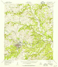 1954 Lampasas1956 Print · USGSLampasas and the surrounding ranchlands are shown here in the mid-fifties, centered on the confluence of several creeks and the rail corridor. Researchers can trace the layout of Kempner and Rumley, find rural landmarks like Clay Rock Ch, or locate family plots at Garner Cem.
 - 1954 Map of Rumley, 1957 Print
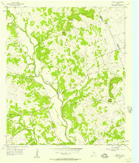 1954 Rumley1957 Print · USGSThe Lampasas River valley in the mid-1950s reveals a network of small Texas settlements and family landmarks. Genealogists can trace rural life through sites like Rock Church Cemetery, Rumley, and the School Creek Ch.2 unique versions available
 - 1985 Map of San Saba
 1985 San Saba1985 Print · USGSCentral Texas in the mid-eighties was a landscape of river-valley ranching and quiet railroad towns. Researchers can trace family history through sites like San Saba Cem, follow the Atchison Topeka and Santa Fe line, or explore landmarks near Pecan Bayou.2 unique versions available
 - 2010 Map of Rumley, 2010 Print
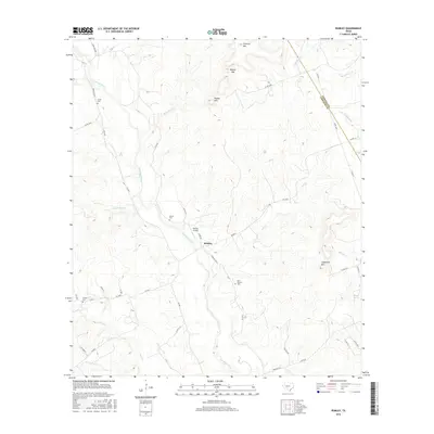
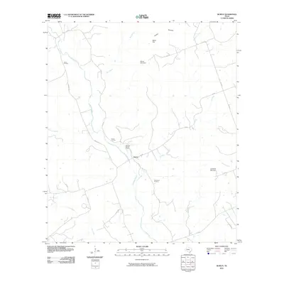 2010 Rumley2010 Print · USGSCovers Rumley, including Coryell County, Lampasas County, and other nearby areas
 - 2012 Map of Rumley, 2012 Print
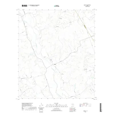
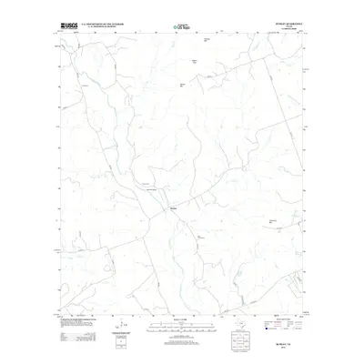 2012 Rumley2012 Print · USGSCovers Rumley, including Coryell County, Lampasas County, and other nearby areas
 - 2016 Map of Rumley, 2016 Print
 2016 Rumley2016 Print · USGSCovers Rumley, including Coryell County, Lampasas County, and other nearby areas
 - 2019 Map of Rumley, 2019 Print
 2019 Rumley2019 Print · USGSCovers Rumley, including Coryell County, Lampasas County, and other nearby areas
 - 2022 Map of Rumley, 2022 Print
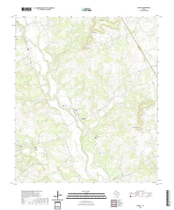 2022 Rumley2022 Print · USGSRumley and the Lampasas River valley are captured in this modern survey of central Texas hill country. Researchers can locate several family burial sites such as Long Meadows - Cox Cem and Garner Cem, alongside landmarks like Belton Gap.
End of results
Showing maps 1-11 of 11
Top cities near Rumley
Frequently asked questions
- What are the different types of historical maps available for Rumley?
- What is the oldest map of Rumley?
- Where can I purchase historical maps of Rumley for my home or office?
- Where can I download high-res historical maps of Rumley?
- Are there historical topographic maps available for Rumley?
- Is there historical aerial imagery available for Rumley?
- Where are historical maps of Rumley sourced from?