1960s Maps of Leon County, Texas
Explore 28 historic maps of Leon County from the 1960s. These maps offer a rare glimpse into what life looked like during the 1960s — showing old roads, neighborhoods, homes, and landmarks that have changed or disappeared over time.
Whether you're researching your family's past, planning a metal detecting trip, or studying how Leon County's landscape evolved across the 1960s, these high-resolution maps are a powerful tool for exploring the history of this region.
- Focus on a specific era: All maps on this page are from the 1960s, giving you a focused view of this time period.
- See what’s changed: Compare century-old streets, trails, and buildings to today's modern landscape using overlays and satellite layers.
- Research with precision: Use these maps for genealogy, historical research, land use analysis, or educational projects.
- View, download, or print: Maps are fully viewable online in high resolution, and can be downloaded or printed for your own records.
Start exploring Leon County's history through authentic maps from the 1960s. This is your window into the past.
Leon County, TX maps
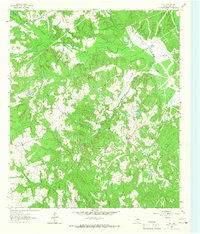
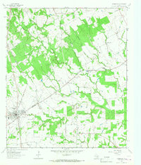
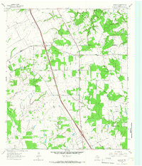
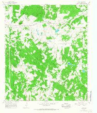
(28)- 1964 Map of Long Lake, 1967 Print
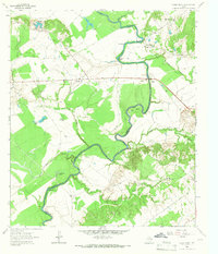
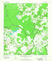 1964 Long Lake1967 Print · USGSAnderson County during the mid-1960s was a landscape defined by the winding Trinity River and a burgeoning energy sector. Genealogists and local historians can pinpoint Mt Pilgrim Ch, the Green Bay High Sch, and the rail infrastructure of the Missouri Pacific.3 unique versions available
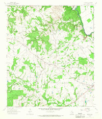
 - 1964 Map of Oakwood, 1967 Print
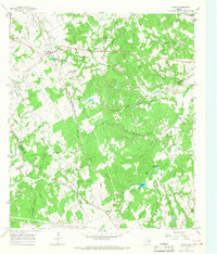
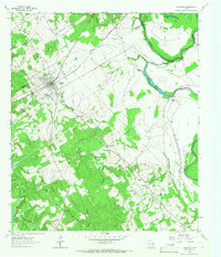 1964 Oakwood1967 Print · USGSOakwood and the rural fringes of Leon County are captured here in the mid-1960s, centered on the Missouri Pacific rail corridor. Researchers can trace family roots through landmarks like Dunbar High Sch, Mount Pisgah Cem, and the Sand Flats settlement.
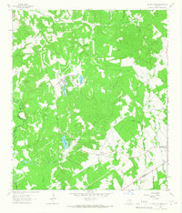
 - 1964 Map of Austonio, 1967 Print
 1964 Austonio1967 Print · USGSHouston County in the mid-1960s was a landscape of small agricultural hamlets and timbered ridges along the river. Genealogists can trace family roots through numerous rural landmarks like Monticello Cem, Mt Zion Ch, and the settlement of Austonio.2 unique versions available
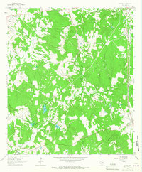
 - 1964 Map of Centerville, 1967 Print
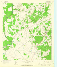
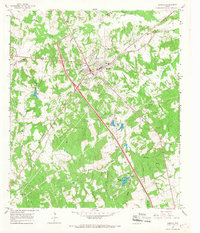
 1964 Centerville1967 Print · USGSCenterville and its surrounding Leon County countryside are captured here in the mid-1960s as a quiet network of rural parishes and family-named creek branches. Researchers can locate the Court House and High Sch or trace early community life through Hopewell Ch and Pleasant Springs.
 - 1964 Map of Flo, 1967 Print
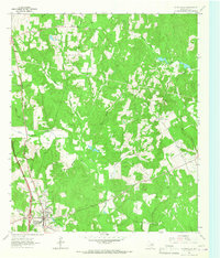
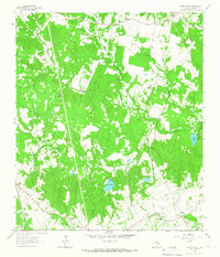
 1964 Flo1967 Print · USGSLeon County at the mid-century reveals a landscape defined by the Buffalo Oil Field and scattered family homesteads. Researchers can trace rural lineages through the Lummis Cem, Wheelock Cem, and the community hub at Flo.
 - 1964 Map of Spring Seat, 1967 Print
 1964 Spring Seat1967 Print · USGSLeon County's rural landscape is captured in the mid-1960s at a time when the railroad still defined the local geography through Flynn. Researchers can trace old family sites near Spring Creek Cem, Evans Chapel, and the vanished tracks of the F W & D line.2 unique versions available
 - 1964 Map of Eunice, 1967 Print
 1964 Eunice1967 Print · USGSLeon County's rural backcountry is documented here in the mid-sixties, showing a landscape of small settlements and creek-side cemeteries. Researchers can locate Victory Ch, trace the path of Nineveh Road, and find family history at Beaver Dam Cem.2 unique versions available
 - 1964 Map of Middleton, 1967 Print
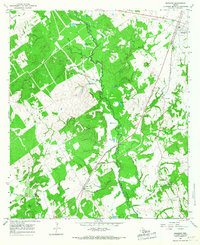
 1964 Middleton1967 Print · USGSEastern Leon County during the mid-1960s was a landscape of small creek-side settlements and crossroads communities. Genealogists and local historians can trace family locations through landmarks like Spillers Store, the Thomason Cem, and Mount Airy Ch.3 unique versions available
 - 1964 Map of Halls Bluff, 1967 Print
 1964 Halls Bluff1967 Print · USGSThe Trinity River valley along the Houston and Leon county line is shown here in the mid-sixties. Researchers can trace the rural communities of Malvern and Wheeler Springs or locate family landmarks like Smith Cem and Union Prairie Ch.2 unique versions available
 - 1964 Map of Keechi, 1967 Print
 1964 Keechi1967 Print · USGSThe Freestone and Leon County line comes alive in the mid-1960s, showing a landscape defined by the Missouri Pacific rail line and local creek networks. Genealogists and historians can locate the Trahan Sch, Keechi Cem, and the specialized Oakwood Dome Oil Field.2 unique versions available
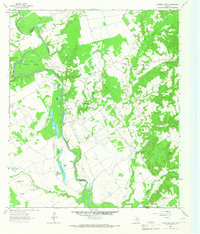
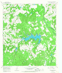
 - 1964 Map of Lake Leon, 1967 Print
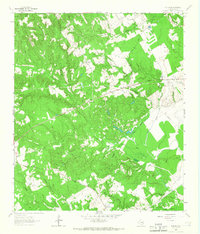
 1964 Lake Leon1967 Print · USGSIn the mid-1960s, this area of Leon County was a hub of petroleum activity and small rural communities. Genealogists and historians can locate family burial grounds like North Creek Cemetery and Tubbs Cem near the oil derricks of the Navarro Crossing Oil Field.
 - 1964 Map of Leona, 1967 Print
 1964 Leona1967 Print · USGSSettled along the old roads of Leon County in the mid-1960s, this area reveals a landscape of small farms and family cemeteries. Locate local landmarks like Fort Boggy (Site), the Washington Perkins Sch, and the Masumsum Cem.
 - 1964 Map of Normangee, 1967 Print
 1964 Normangee1967 Print · USGSThe railroad junction at Normangee thrived in the mid-sixties at the crossing of the Fort Worth and Denver and Rock Island lines. Researchers can trace local lineage through Randolph Cem, Tenmile Cem, and the rural Carter Sch.2 unique versions available
 - 1964 Map of Elwood, 1967 Print
 1964 Elwood1967 Print · USGSMadison County's river-border country is captured here in the mid-1960s as the Trinity River winds past rural homesteads. Local researchers can trace family landmarks like the Alphie Cem, the settlement at Old Elwood, and the community hub at Midway.2 unique versions available
 - 1964 Map of Hilltop Lakes, 1967 Print
 1964 Hilltop Lakes1967 Print · USGSMid-century development meets rural Texas tradition in this Leon County survey as the aviation-themed resort of Hilltop Lakes begins to take shape. Researchers can trace family roots through the Greer Cem and explore the older settlements of Wealthy and Normangee.2 unique versions available
 - 1964 Map of Margie, 1967 Print
 1964 Margie1967 Print · USGSLeon County in the mid-1960s shows a landscape of rail-dependent settlements and rural churches. Genealogists can trace family names through Greer Cem and White Cem, or locate the Old Bowlin Ch near the active rail lines.2 unique versions available
 - 1964 Map of Leona SW, 1967 Print
 1964 Leona SW1967 Print · USGSSettled along the Madison and Leon county line in the mid-1960s, this area reflects a quiet rural economy. Genealogists can trace family names at Mount Tabor Cem and locate community hubs like the Sweet Home Ch and Cross Roads.
 - 1964 Map of Stanmire Lake, 1967 Print
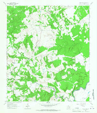
 1964 Stanmire Lake1967 Print · USGSThe Trinity River bottomlands of East Texas are captured here in the mid-1960s, showing a landscape defined by oxbow lakes and the Navarro Crossing Oil Field. Researchers can trace the rural communities of Wheeler Springs and Reynard alongside landmarks like Shiloh Church and Bluff Cemetery.2 unique versions available
 - 1965 Map of Jewett, 1967 Print
 1965 Jewett1967 Print · USGSJewett and the surrounding Leon County countryside are captured here in the mid-1960s at the junction of two major rail lines. Researchers can trace ancestral roots at Taylor Cem and Burleson Cem or locate the rural Sardis Ch and Independent Sch.2 unique versions available
 - 1965 Map of Robbins, 1967 Print
 1965 Robbins1967 Print · USGSLeon County's rural landscape is captured here in the mid-1960s, showing a transition toward energy extraction. Family historians can trace local roots at Old Upton Cemetery and Liberty Cemetery or locate the site of Mount Lily Church.2 unique versions available
 - 1965 Map of Lanely, 1967 Print
 1965 Lanely1967 Print · USGSFreestone and Leon Counties appear here in the mid-1960s, showing a rural landscape of creek bottoms and scattered homesteads. Genealogists can trace family landmarks like Harrison Chapel Cem, Holly Grove Cem, and Little Star Ch.2 unique versions available
 - 1965 Map of Buffalo, 1967 Print
 1965 Buffalo1967 Print · USGSBuffalo was a bustling Leon County crossroads in the mid-sixties, where the rail line and highways met amidst a landscape of family-named creeks. Genealogists can trace local roots through landmarks like Sand Hill Cem, Bennett Sch, and Davis Chapel.2 unique versions available
 - 1965 Map of Marquez, 1967 Print
 1965 Marquez1967 Print · USGSLeon and Robertson counties are captured here in the mid-sixties, dominated by the winding path of the NAVASOTA RIVER. Genealogists can trace rural communities like Venetia and locate several burial sites including Holly Cem and Kaster Cem.2 unique versions available
 - 1965 Map of Camp Creek Lake, 1967 Print
 1965 Camp Creek Lake1967 Print · USGSRobertson County's wooded creek bottoms and newly impounded waters are captured here in the mid-sixties as the rural landscape adapted to new reservoirs. Genealogists and local historians can locate the community of Easterly, the Missouri Pacific rail line, and quiet landmarks like Hoxie Chapel Cem and Elm Grove Ch.2 unique versions available
 - 1965 Map of Donie, 1968 Print
 1965 Donie1968 Print · USGSDonie and the surrounding Leon County countryside are captured here in the mid-1960s, showing a landscape defined by timber, water, and the rail line. Genealogists and local historians can locate long-standing landmarks such as Wilson Chapel, Post Oak Cem, and the waters of Thundering Springs.2 unique versions available
Showing maps 1-25 of 28
Top cities of Leon County
- Buffalo historical maps
- Centerville historical maps
- Jewett historical maps
- Marquez historical maps
- Leona historical maps
Frequently asked questions
- What are the different types of historical maps available for Leon County?
- What is the oldest map of Leon County?
- Where can I purchase historical maps of Leon County for my home or office?
- Where can I download high-res historical maps of Leon County?
- Are there historical topographic maps available for Leon County?
- Is there historical aerial imagery available for Leon County?
- Where are historical maps of Leon County sourced from?