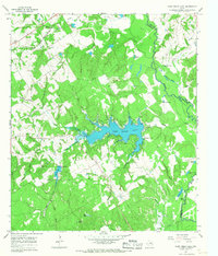
1965 Map of Camp Creek Lake
USGS Topo · Published 1967About this map
The Navasota River meanders along the boundary of Robertson and Leon Counties, shaping a landscape defined by seasonal floodplains and tributary branches. Central to this mid-1960s environment is the newly formed Camp Creek Lake, whose irregular shoreline is punctuated by controlled inundation areas and engineered spillways. To the northwest, the Missouri Pacific railroad corridor anchors the small settlement of Easterly, where local history is preserved at the Easterly Cem.
Find a feature on this map
50 named features on this map. Tap any name to fly to it.
Don’t see what you’re looking for? This feature index may not catch every label — zoom into the map to look around manually.
Map Details
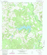
Editions of this 1965 Camp Creek Lake Map
2 editions found
Other maps of this area

1925 · Iola No 2
USGS Topo · 1:48,000

1925 · Marquez No. 1
USGS Topo · 1:48,000

1925 · Marquez No. 4
USGS Topo · 1:48,000

1927 · Marquez
USGS Topo · 1:62,500

1930 · Marquez
USGS Topo · 1:62,500

1931 · Iola
USGS Topo · 1:62,500

1954 · Waco
USGS Topo · 1:250,000

1954 · Austin
USGS Topo · 1:250,000

1955 · Waco
USGS Topo · 1:250,000

1962 · Edge
USGS Topo · 1:24,000