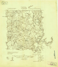
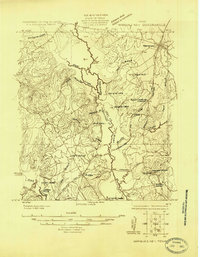
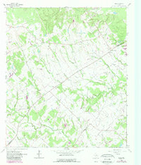
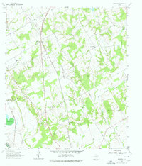
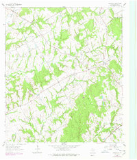
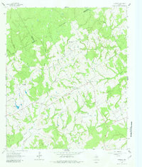
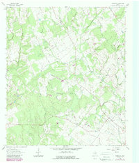
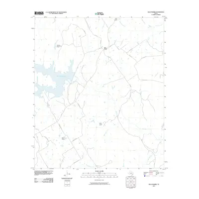
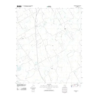
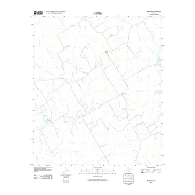
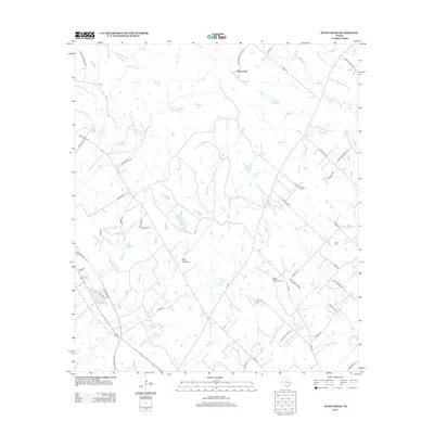
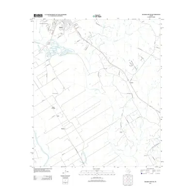
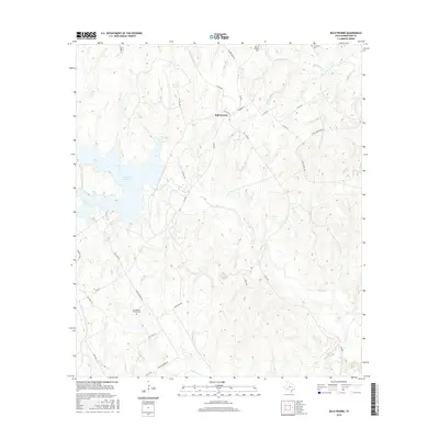
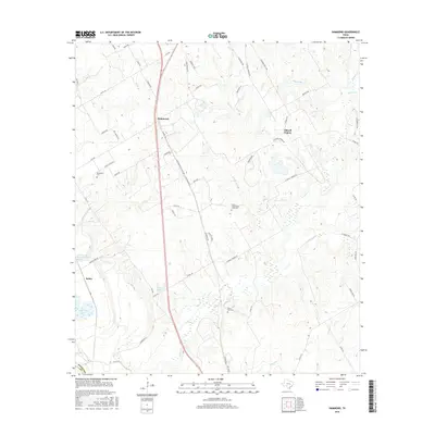
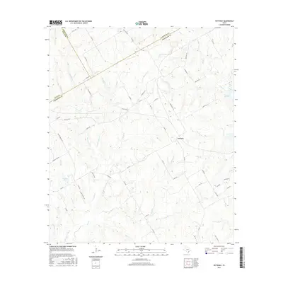
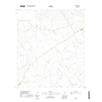
1925 Map of Marquez No. 4
USGS Topo · Published 1925About this map
The Navasota River forms a winding boundary between Robertson and Leon Counties, anchoring a landscape defined by an intricate network of marshes and oxbow lakes. Surveyed in the mid-1920s using early aerial photography from the Air Service, this document details a region where rural life was organized around local education hubs like Navasota School, Elm Grove School, and Camp Creek School. The topography is dominated by numerous named water bodies, including Malochomy Lake, Baker Lake, and the distinctly shaped Crooked Slough, reflecting the river's shifting path over time.
Find a feature on this map
42 named features on this map. Tap any name to fly to it.
Don’t see what you’re looking for? This feature index may not catch every label — zoom into the map to look around manually.
Map Details
Editions of this 1925 Marquez No. 4 Map
This is the sole edition of this map. No revisions or reprints were ever made.
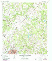
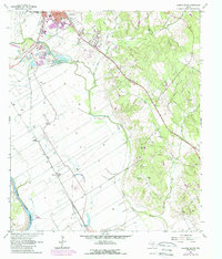
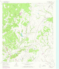
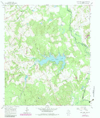
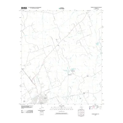
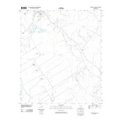
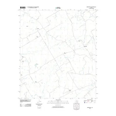
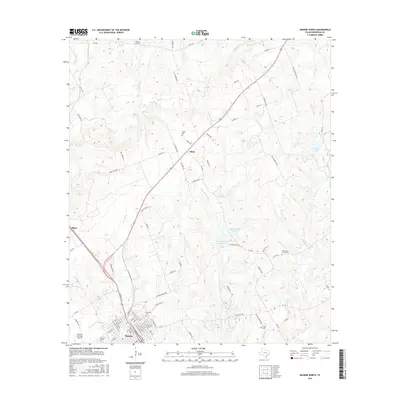
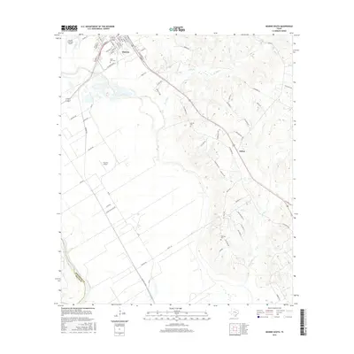
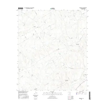
Historical Maps of Leon County Through Time
62 maps found
1925 Marquez No. 1
Robertson County, TX
1925 Marquez No. 4
Robertson County, TX
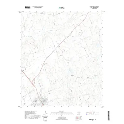
1961 Hearne North
Robertson County, TX
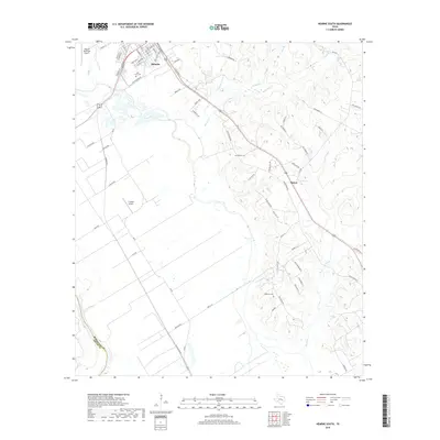
1961 Hearne South
Robertson County, TX
1962 Edge
Robertson County, TX
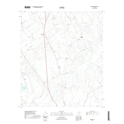
1962 Hammond
Robertson County, TX
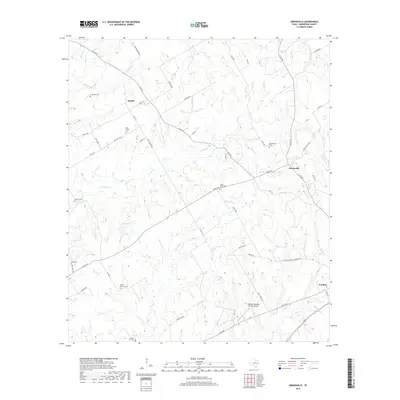
1962 Owensville
Robertson County, TX
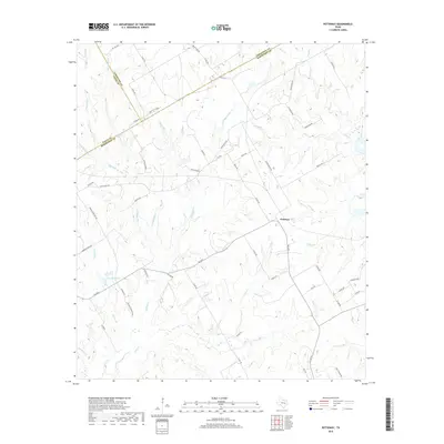
1962 Petteway
Robertson County, TX
1962 Wheelock
Robertson County, TX
1963 Dunn Creek
Robertson County, TX
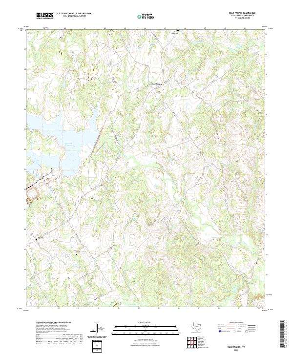
1965 Bald Prairie
Robertson County, TX
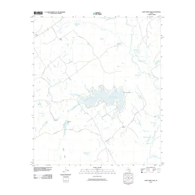
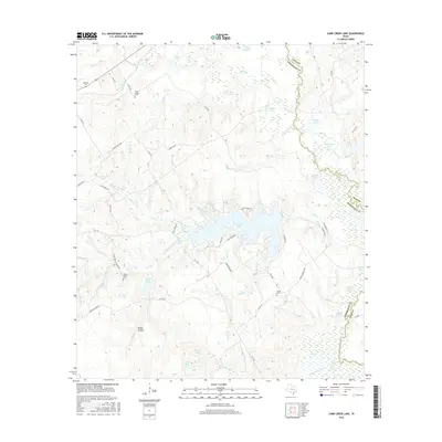
1965 Camp Creek Lake
Robertson County, TX
2010 Bald Prairie
Robertson County, TX
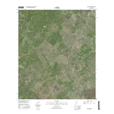
2010 Camp Creek Lake
Robertson County, TX
2010 Dunn Creek
Robertson County, TX
2010 Edge
Robertson County, TX
2010 Hammond
Robertson County, TX
2010 Hearne North
Robertson County, TX
2010 Hearne South
Robertson County, TX
2010 Owensville
Robertson County, TX
2010 Petteway
Robertson County, TX
2010 Wheelock
Robertson County, TX
2013 Bald Prairie
Robertson County, TX
2013 Camp Creek Lake
Robertson County, TX
2013 Dunn Creek
Robertson County, TX
2013 Edge
Robertson County, TX
2013 Hammond
Robertson County, TX
2013 Hearne North
Robertson County, TX
2013 Hearne South
Robertson County, TX
2013 Owensville
Robertson County, TX
2013 Petteway
Robertson County, TX
2013 Wheelock
Robertson County, TX
2016 Bald Prairie
Robertson County, TX
2016 Camp Creek Lake
Robertson County, TX
2016 Dunn Creek
Robertson County, TX
2016 Edge
Robertson County, TX
2016 Hammond
Robertson County, TX
2016 Hearne North
Robertson County, TX
2016 Hearne South
Robertson County, TX
2016 Owensville
Robertson County, TX
2016 Petteway
Robertson County, TX

2016 Wheelock
Robertson County, TX
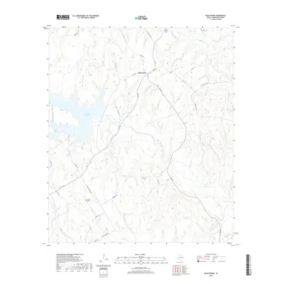
2019 Bald Prairie
Robertson County, TX
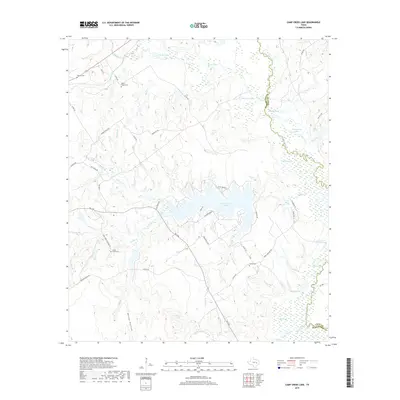
2019 Camp Creek Lake
Robertson County, TX
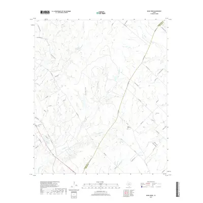
2019 Dunn Creek
Robertson County, TX
2019 Edge
Robertson County, TX
2019 Hammond
Robertson County, TX
2019 Hearne North
Robertson County, TX
2019 Hearne South
Robertson County, TX
2019 Owensville
Robertson County, TX
2019 Petteway
Robertson County, TX
2019 Wheelock
Robertson County, TX
2022 Bald Prairie
Robertson County, TX
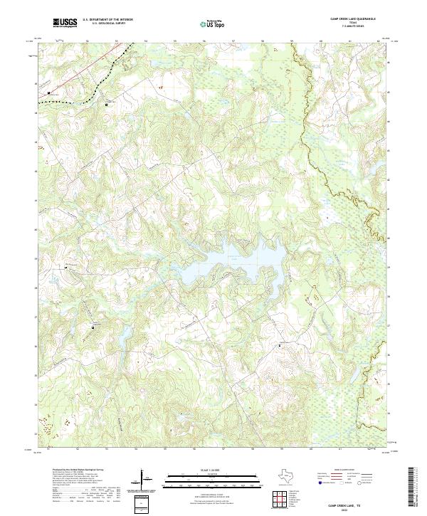
2022 Camp Creek Lake
Robertson County, TX
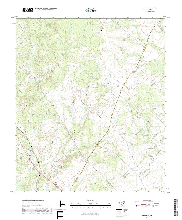
2022 Dunn Creek
Robertson County, TX
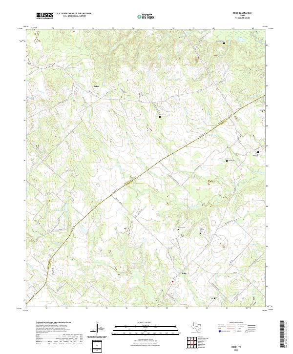
2022 Edge
Robertson County, TX
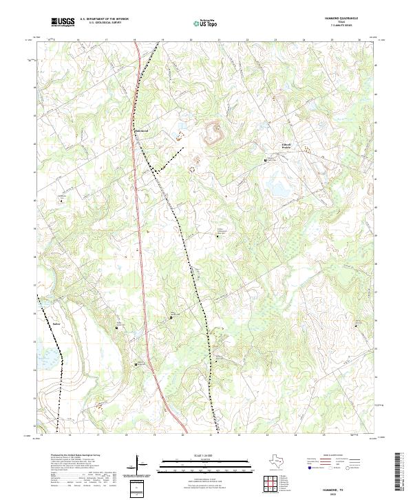
2022 Hammond
Robertson County, TX
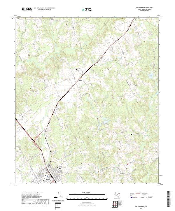
2022 Hearne North
Robertson County, TX
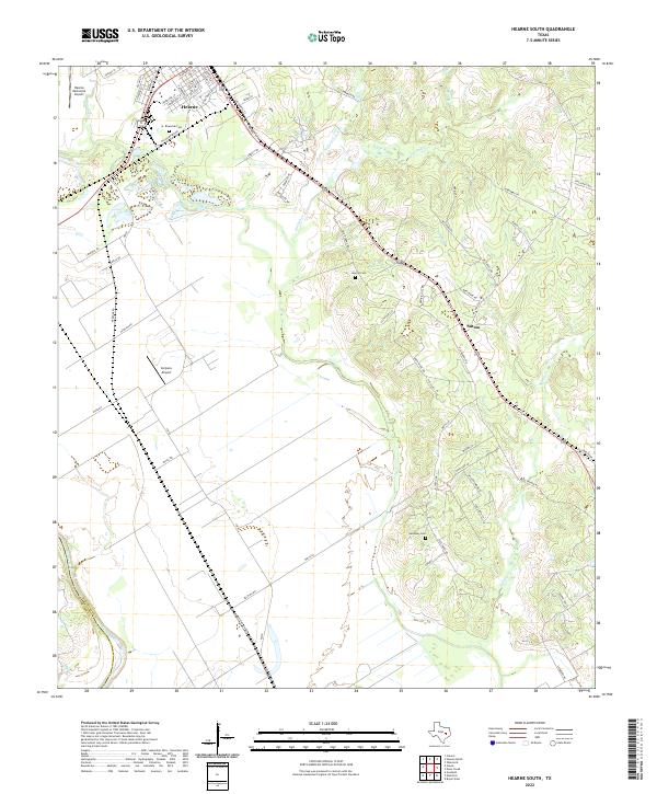
2022 Hearne South
Robertson County, TX
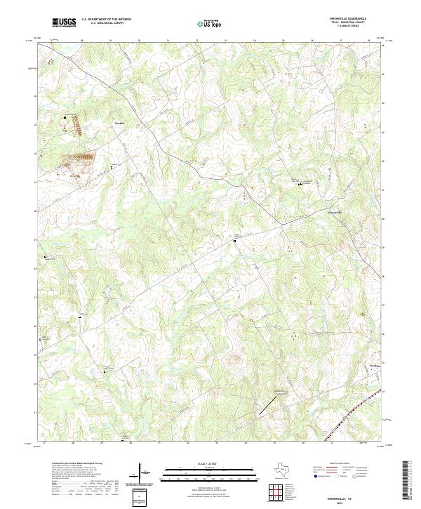
2022 Owensville
Robertson County, TX
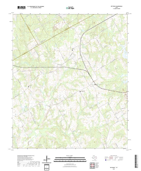
2022 Petteway
Robertson County, TX
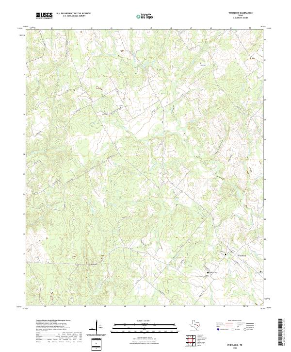
2022 Wheelock
Robertson County, TX