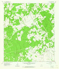
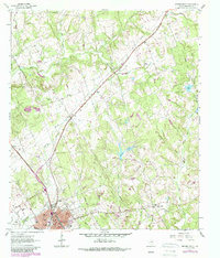
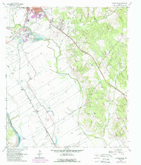
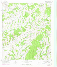
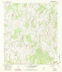
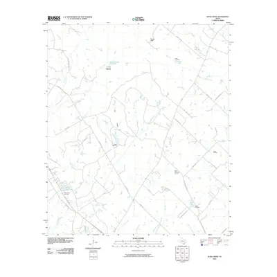
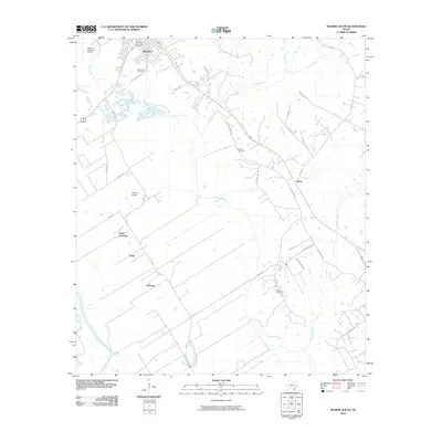
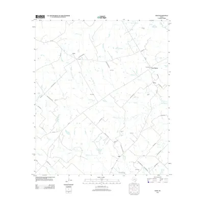
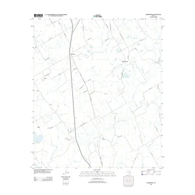
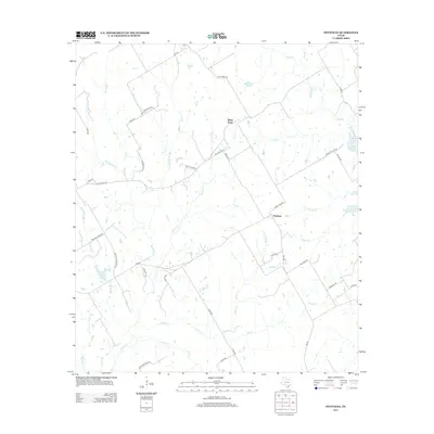
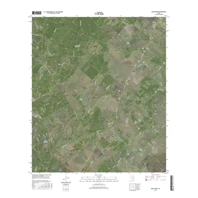
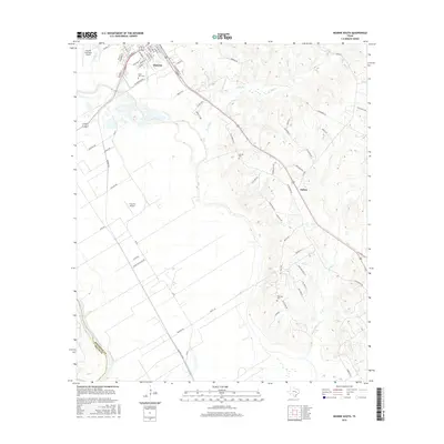
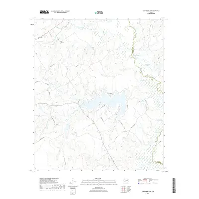
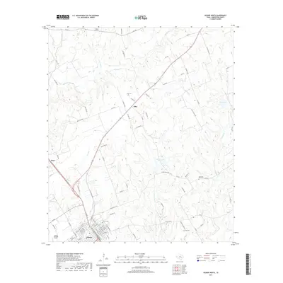
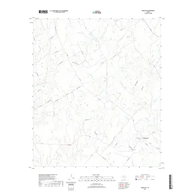
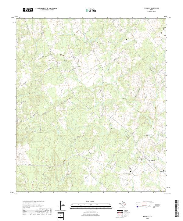
1962 Map of Wheelock
USGS Topo · Published 1964About this map
Wheelock serves as the focal point of this 1962 survey, situated at the southern edge of Robertson County. The landscape is characterized by a dense network of watercourses including Copperas Creek, Cedar Creek, and Hickory Grove Creek, which feed into the wider Brazos River basin. Several country churches and family-named landmarks are scattered across the terrain, notably Morrows Chapel and New Hope Ch, indicating established rural communities.
Find a feature on this map
35 named features on this map. Tap any name to fly to it.
Don’t see what you’re looking for? This feature index may not catch every label — zoom into the map to look around manually.
Map Details
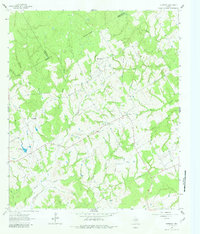
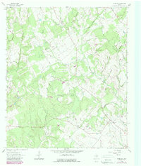
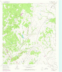
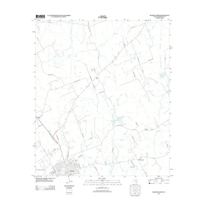
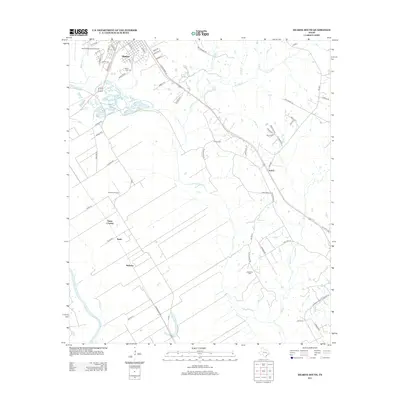
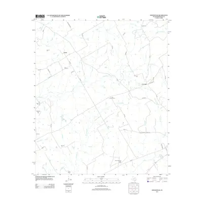
Editions of this 1962 Wheelock Map
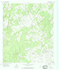
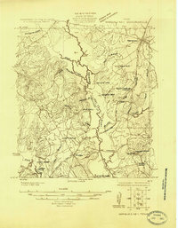
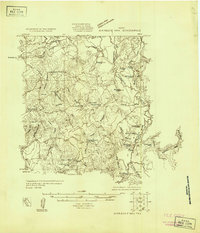
Historical Maps of Wheelock Through Time
62 maps found
1925 Marquez No. 1
Robertson County, TX
1925 Marquez No. 4
Robertson County, TX
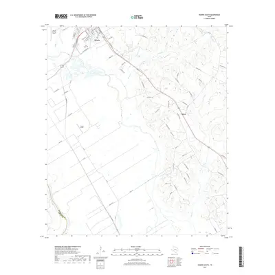
1961 Hearne North
Robertson County, TX
1961 Hearne South
Robertson County, TX
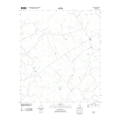
1962 Edge
Robertson County, TX
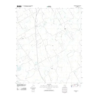
1962 Hammond
Robertson County, TX
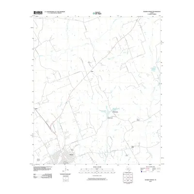
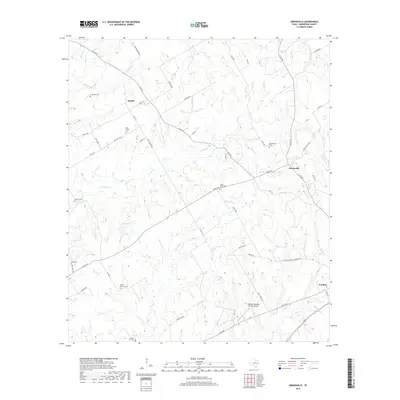
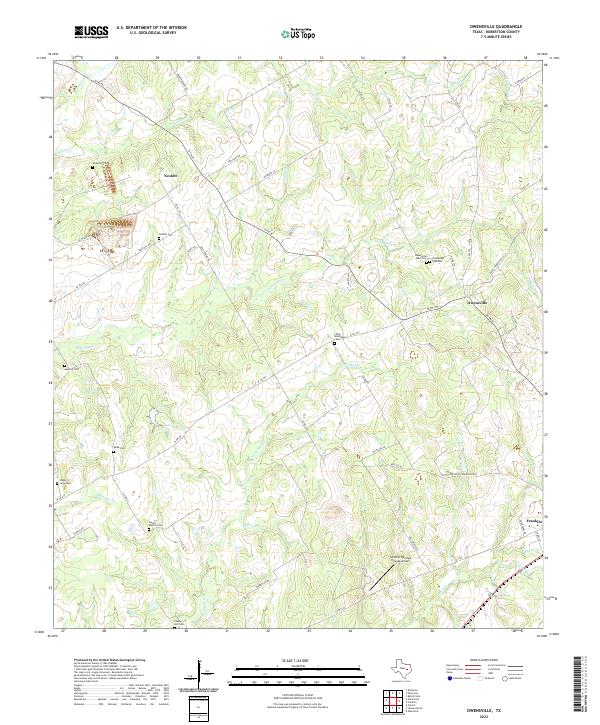
1962 Owensville
Robertson County, TX
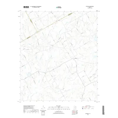
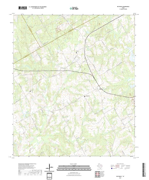
1962 Petteway
Robertson County, TX
1962 Wheelock
Robertson County, TX
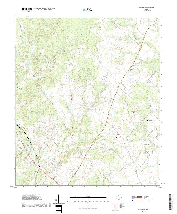
1963 Dunn Creek
Robertson County, TX
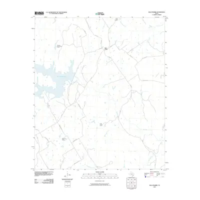
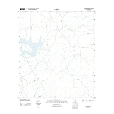
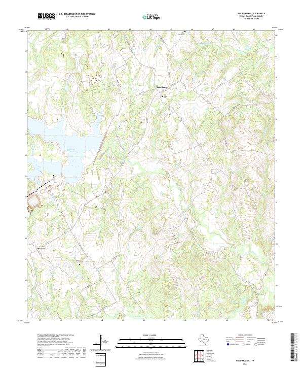
1965 Bald Prairie
Robertson County, TX
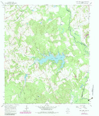
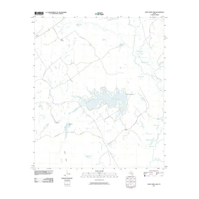
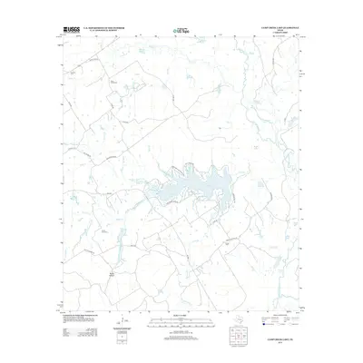
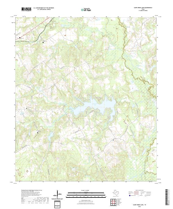
1965 Camp Creek Lake
Robertson County, TX
2010 Bald Prairie
Robertson County, TX
2010 Camp Creek Lake
Robertson County, TX
2010 Dunn Creek
Robertson County, TX
2010 Edge
Robertson County, TX
2010 Hammond
Robertson County, TX
2010 Hearne North
Robertson County, TX
2010 Hearne South
Robertson County, TX
2010 Owensville
Robertson County, TX
2010 Petteway
Robertson County, TX
2010 Wheelock
Robertson County, TX
2013 Bald Prairie
Robertson County, TX
2013 Camp Creek Lake
Robertson County, TX
2013 Dunn Creek
Robertson County, TX
2013 Edge
Robertson County, TX
2013 Hammond
Robertson County, TX
2013 Hearne North
Robertson County, TX
2013 Hearne South
Robertson County, TX
2013 Owensville
Robertson County, TX
2013 Petteway
Robertson County, TX
2013 Wheelock
Robertson County, TX
2016 Bald Prairie
Robertson County, TX
2016 Camp Creek Lake
Robertson County, TX
2016 Dunn Creek
Robertson County, TX
2016 Edge
Robertson County, TX
2016 Hammond
Robertson County, TX
2016 Hearne North
Robertson County, TX
2016 Hearne South
Robertson County, TX
2016 Owensville
Robertson County, TX
2016 Petteway
Robertson County, TX

2016 Wheelock
Robertson County, TX
2019 Bald Prairie
Robertson County, TX
2019 Camp Creek Lake
Robertson County, TX
2019 Dunn Creek
Robertson County, TX
2019 Edge
Robertson County, TX
2019 Hammond
Robertson County, TX
2019 Hearne North
Robertson County, TX
2019 Hearne South
Robertson County, TX
2019 Owensville
Robertson County, TX
2019 Petteway
Robertson County, TX
2019 Wheelock
Robertson County, TX
2022 Bald Prairie
Robertson County, TX
2022 Camp Creek Lake
Robertson County, TX
2022 Dunn Creek
Robertson County, TX
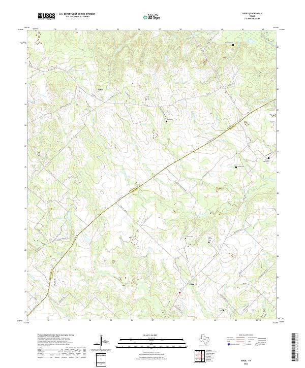
2022 Edge
Robertson County, TX
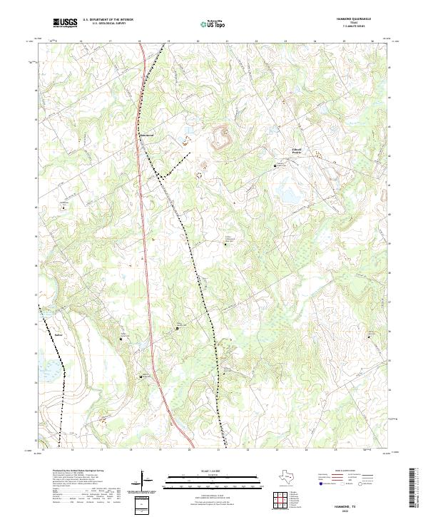
2022 Hammond
Robertson County, TX
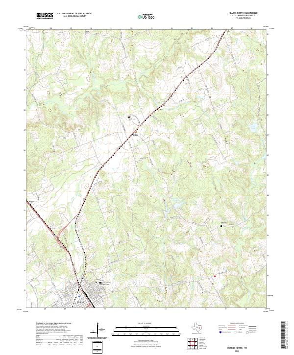
2022 Hearne North
Robertson County, TX
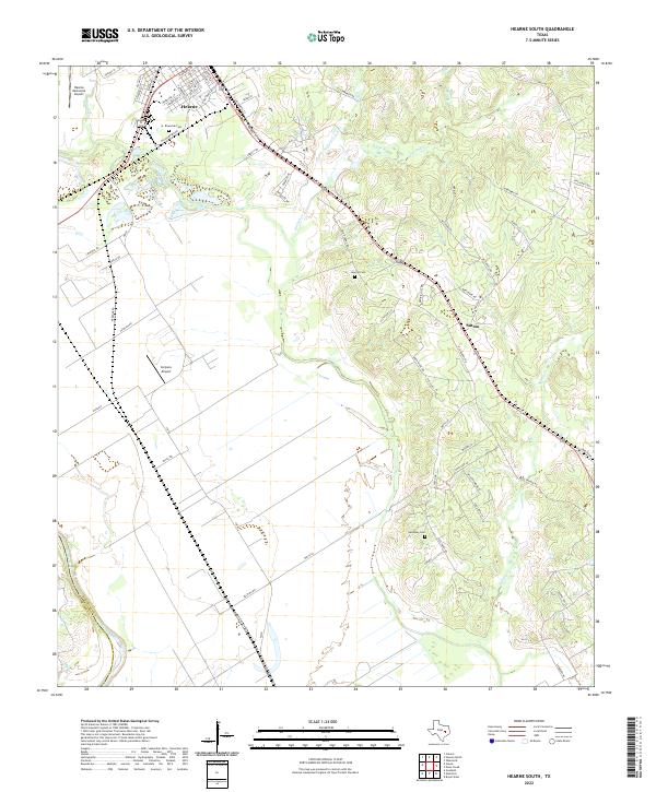
2022 Hearne South
Robertson County, TX
2022 Owensville
Robertson County, TX
2022 Petteway
Robertson County, TX
2022 Wheelock
Robertson County, TX