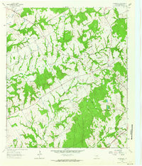
1962 Map of Owensville
USGS Topo · Published 1964About this map
Owensville serves as the focal point of this rural Robertson County landscape, situated near the intersection of several local routes in the early 1960s. The area is defined by a series of small, family-centric settlements and spiritual landmarks, including Nesbitt and Willson. Genealogists will find a high density of burial sites across the terrain, from the Anderson Cem and Beck Prairie Cem to the distinctly named Little Mississippi Cem near Little Mud Creek.
Find a feature on this map
24 named features on this map. Tap any name to fly to it.
Don’t see what you’re looking for? This feature index may not catch every label — zoom into the map to look around manually.
Map Details
Editions of this 1962 Owensville Map
2 editions found
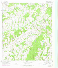
Other maps of this area

1927 · Marquez
USGS Topo · 1:62,500

1930 · Marquez
USGS Topo · 1:62,500

1954 · Waco
USGS Topo · 1:250,000

1954 · Austin
USGS Topo · 1:250,000

1955 · Waco
USGS Topo · 1:250,000

1961 · Hearne North
USGS Topo · 1:24,000

1962 · Calvert
USGS Topo · 1:24,000

1962 · Wheelock
USGS Topo · 1:24,000

1962 · Hammond
USGS Topo · 1:24,000

1962 · Bremond
USGS Topo · 1:24,000