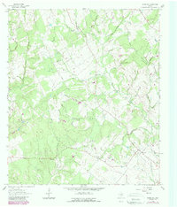
1962 Map of Wheelock
USGS Topo · Published 1989About this map
Wheelock stands at the heart of this landscape, serving as a historic anchor for the surrounding community in Robertson County. This survey, based on 1960s fieldwork with late-1980s updates, reveals a deeply rooted rural settlement pattern defined by its churches and cemeteries. Family and community heritage is evident in the presence of Henry Prairie Ch, Morrows Chapel, and New Hope Ch, while the distribution of the Cavitt Cem, Arnett Cem, and Wheelock Cem suggests generations of local residency. The terrain is carved by a dense network of seasonal drainages, including Wolf Den Br, Hay Yard Branch, and Copperas Creek, which flow through the undulating lands near Red Hill. Notable industrial and infrastructure markers such as Gravel Pits, a cross-country pipeline, and a small Landing Strip illustrate the modern layering of utility onto this traditional prairie landscape.
Find a feature on this map
33 named features on this map. Tap any name to fly to it.
Don’t see what you’re looking for? This feature index may not catch every label — zoom into the map to look around manually.
Map Details
Editions of this 1962 Wheelock Map
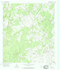
Other maps of this area

1925 · Marquez No. 4
USGS Topo · 1:48,000

1927 · Marquez
USGS Topo · 1:62,500

1930 · Marquez
USGS Topo · 1:62,500

1954 · Waco
USGS Topo · 1:250,000

1954 · Austin
USGS Topo · 1:250,000

1955 · Waco
USGS Topo · 1:250,000

1961 · Hearne North
USGS Topo · 1:24,000

1961 · Hearne South
USGS Topo · 1:24,000

1962 · Edge
USGS Topo · 1:24,000

1962 · Wheelock
USGS Topo · 1:24,000