2000s (21st Century) Maps of Dayton, Texas
Explore 30 historic maps of Dayton from the 2000s (21st Century). These maps offer a rare glimpse into what life looked like during the 2000s — showing old roads, neighborhoods, homes, and landmarks that have changed or disappeared over time.
Whether you're researching your family's past, planning a metal detecting trip, or studying how Dayton's landscape evolved across the 2000s, these high-resolution maps are a powerful tool for exploring the history of this region.
- Focus on a specific era: All maps on this page are from the 2000s, giving you a focused view of this time period.
- See what’s changed: Compare century-old streets, trails, and buildings to today's modern landscape using overlays and satellite layers.
- Research with precision: Use these maps for genealogy, historical research, land use analysis, or educational projects.
- View, download, or print: Maps are fully viewable online in high resolution, and can be downloaded or printed for your own records.
Start exploring Dayton's history through authentic maps from the 2000s. This is your window into the past.
Dayton, TX maps
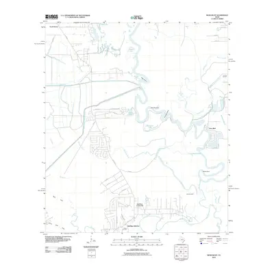
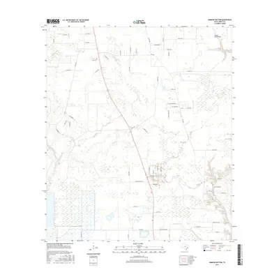
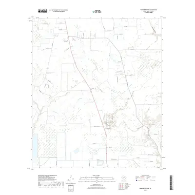
(30)- 2010 Map of Simmons Bottom, 2010 Print
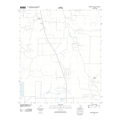 2010 Simmons Bottom2010 Print · USGSCovers Dayton, including Kenefick, Winter Valley Estates, and other nearby areas
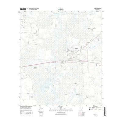
 - 2010 Map of Liberty, 2010 Print
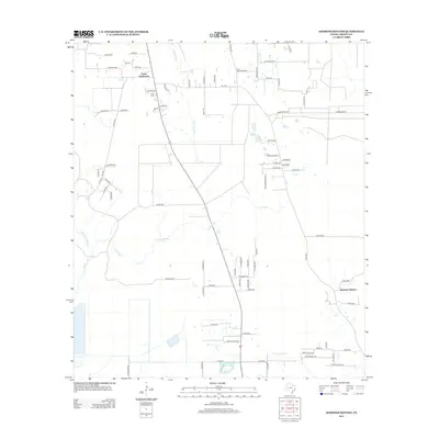
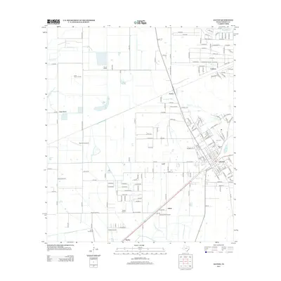
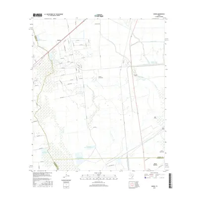
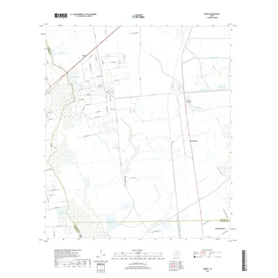
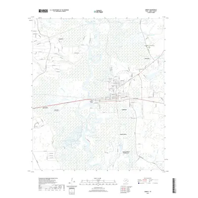
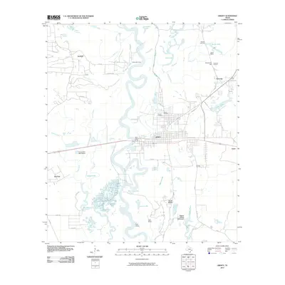 2010 Liberty2010 Print · USGSCovers Dayton, including Liberty, Ames, and other nearby areas
 - 2010 Map of Huffman, 2010 Print
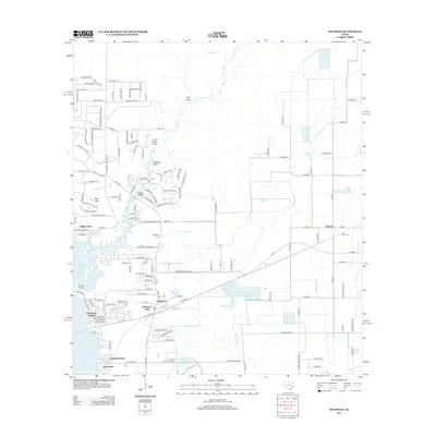
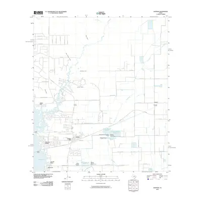 2010 Huffman2010 Print · USGSCovers Dayton, including Houston, Lakewood Heights, and other nearby areas
 - 2010 Map of Dayton, 2010 Print
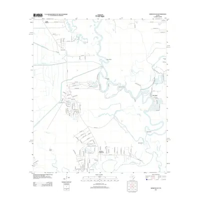
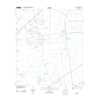
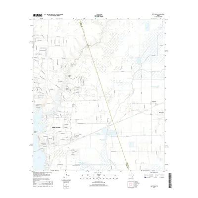
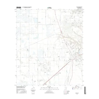
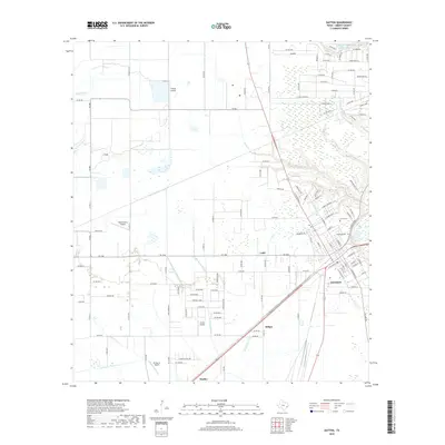
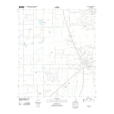 2010 Dayton2010 Print · USGSCovers Dayton, including Wadley, Ladd, and other nearby areas
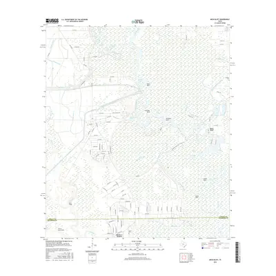
 - 2010 Map of Moss Bluff, 2010 Print
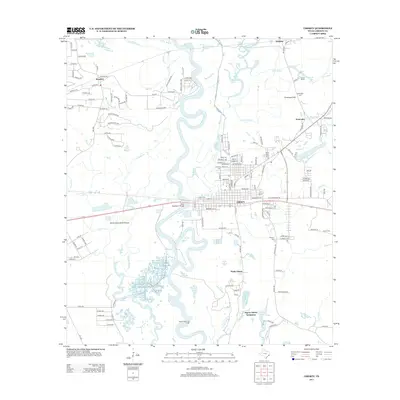
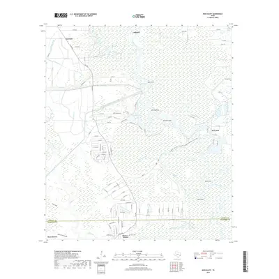
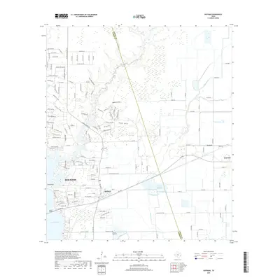
 2010 Moss Bluff2010 Print · USGSCovers Dayton, including Liberty, Mont Belvieu, and other nearby areas
 - 2010 Map of Sheeks, 2010 Print
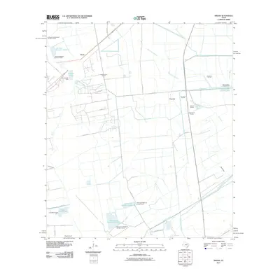 2010 Sheeks2010 Print · USGSCovers Dayton, including Mont Belvieu, Sheeks, and other nearby areas
 - 2013 Map of Simmons Bottom, 2013 Print
 2013 Simmons Bottom2013 Print · USGSCovers Dayton, including Kenefick, Winter Valley Estates, and other nearby areas
 - 2013 Map of Moss Bluff, 2013 Print
 2013 Moss Bluff2013 Print · USGSCovers Dayton, including Liberty, Mont Belvieu, and other nearby areas
 - 2013 Map of Sheeks, 2013 Print
 2013 Sheeks2013 Print · USGSCovers Dayton, including Mont Belvieu, Sheeks, and other nearby areas
 - 2013 Map of Dayton, 2013 Print
 2013 Dayton2013 Print · USGSCovers Dayton, including Wadley, Ladd, and other nearby areas
 - 2013 Map of Huffman, 2013 Print
 2013 Huffman2013 Print · USGSCovers Dayton, including Houston, Lakewood Heights, and other nearby areas
 - 2013 Map of Liberty, 2013 Print
 2013 Liberty2013 Print · USGSCovers Dayton, including Liberty, Ames, and other nearby areas
 - 2016 Map of Huffman, 2016 Print
 2016 Huffman2016 Print · USGSCovers Dayton, including Houston, Lakewood Heights, and other nearby areas
 - 2016 Map of Sheeks, 2016 Print
 2016 Sheeks2016 Print · USGSCovers Dayton, including Mont Belvieu, Sheeks, and other nearby areas
 - 2016 Map of Simmons Bottom, 2016 Print
 2016 Simmons Bottom2016 Print · USGSCovers Dayton, including Kenefick, Winter Valley Estates, and other nearby areas
 - 2016 Map of Liberty, 2016 Print
 2016 Liberty2016 Print · USGSCovers Dayton, including Liberty, Ames, and other nearby areas
 - 2016 Map of Dayton, 2016 Print
 2016 Dayton2016 Print · USGSCovers Dayton, including Wadley, Ladd, and other nearby areas
 - 2016 Map of Moss Bluff, 2016 Print
 2016 Moss Bluff2016 Print · USGSCovers Dayton, including Liberty, Mont Belvieu, and other nearby areas
 - 2019 Map of Sheeks, 2019 Print
 2019 Sheeks2019 Print · USGSCovers Dayton, including Mont Belvieu, Sheeks, and other nearby areas
 - 2019 Map of Moss Bluff, 2019 Print
 2019 Moss Bluff2019 Print · USGSCovers Dayton, including Liberty, Mont Belvieu, and other nearby areas
 - 2019 Map of Simmons Bottom, 2019 Print
 2019 Simmons Bottom2019 Print · USGSCovers Dayton, including Kenefick, Winter Valley Estates, and other nearby areas
 - 2019 Map of Dayton, 2019 Print
 2019 Dayton2019 Print · USGSCovers Dayton, including Wadley, Ladd, and other nearby areas
 - 2019 Map of Liberty, 2019 Print
 2019 Liberty2019 Print · USGSCovers Dayton, including Liberty, Ames, and other nearby areas
 - 2019 Map of Huffman, 2019 Print
 2019 Huffman2019 Print · USGSCovers Dayton, including Houston, Lakewood Heights, and other nearby areas
 - 2022 Map of Moss Bluff, 2022 Print
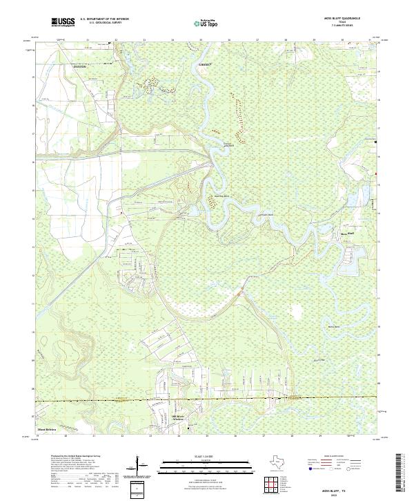 2022 Moss Bluff2022 Print · USGSCoastal Texas wetlands and the winding Trinity River define this Liberty County landscape during the early 2020s. Genealogists and local historians can trace the rural communities of Moss Bluff and Old River-Winfree, alongside family landmarks like Heir Lawn Cem.
Showing maps 1-25 of 30
Top cities near Dayton
- Houston historical maps
- Baytown historical maps
- Highlands historical maps
- Liberty historical maps
- Mont Belvieu historical maps
- Roman Forest historical maps
See more
Top neighborhoods of Dayton
Frequently asked questions
- What are the different types of historical maps available for Dayton?
- What is the oldest map of Dayton?
- Where can I purchase historical maps of Dayton for my home or office?
- Where can I download high-res historical maps of Dayton?
- Are there historical topographic maps available for Dayton?
- Is there historical aerial imagery available for Dayton?
- Where are historical maps of Dayton sourced from?