Old Maps of Tivett, Texas for Genealogy
Trace your family roots with 11 historic maps of Tivett. These high-res maps reveal old neighborhoods, homesites, landmarks, and streets — helping you uncover where your ancestors lived and how the area evolved over time.
- Explore historic neighborhoods: Identify where your relatives may have lived in the 1800s or 1900s.
- Compare maps over time: Trace the changes in streets, buildings, and landmarks for multi-generational research.
- Perfect for genealogy & ancestry research: Used by family historians and researchers to map out lineage and migration.
These maps are an incredible resource for exploring your personal connection to Tivett's past.
Tivett, TX maps
(11)- 1950 Map of Houston, 1953 Print
 1950 Houston1953 Print · USGSCoastal Texas in the early fifties reveals a landscape of massive civil engineering and industrial transit. Genealogists and researchers can trace the growth of the Houston suburbs and the maritime infrastructure of Galveston Bay, including the Gulf Freeway and the Texas City Dike.
 - 1956 Map of Houston, 1963 Print
 1956 Houston1963 Print · USGSSoutheast Texas in the mid-fifties is captured here as a powerhouse of oil and maritime trade. Genealogists and historians can trace the foundations of Houston and its ports, alongside landmarks like the Rice Institute and the Spindletop Oil Field.2 unique versions available
 - 1961 Map of Shiloh, 1964 Print
 1961 Shiloh1964 Print · USGSCoastal Liberty and Chambers Counties are shown in the early sixties as a landscape of marshland and industrial sulphur extraction. Genealogists can locate family burial sites at Miller Cem and Norris Cem or trace the early community around Shiloh.2 unique versions available
 - 1975 Map of Houston, 1977 Print
 1975 Houston1977 Print · USGSThe Texas Gulf Coast in the mid-seventies shows a sprawling Houston metropolis linked to the sea by the massive Houston Ship Channel. Researchers can trace the mid-century industrial landscape from the Astrodome to the Lyndon B. Johnson Space Center.2 unique versions available
 - 1983 Map of Anahuac
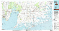 1983 Anahuac1983 Print · USGSThe Upper Texas Coast and its energy-driven landscape are detailed here in the early eighties. Genealogists and historians can trace coastal settlements like Anahuac and Winnie alongside the storied Spindletop Oil Field and the Anahuac National Wildlife Refuge.2 unique versions available
 - 1993 Map of Shiloh, 1994 Print
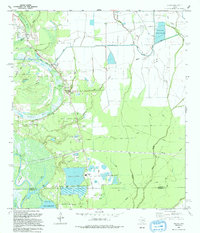 1993 Shiloh1994 Print · USGSCoastal wetlands and industrial oil fields meet in this early 1990s survey of the Liberty and Chambers county line. Genealogists can trace numerous local burial sites like Lone Star Cem and Sherman Cem near the settlement of Shiloh.
 - 2010 Map of Shiloh, 2010 Print
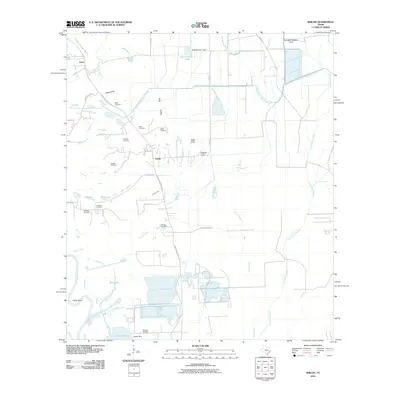 2010 Shiloh2010 Print · USGSCoastal Liberty County in the early 2000s is shown here as a landscape of irrigation canals, bayous, and scattered family cemeteries. Genealogists can locate numerous local burial sites including Lone Star Cemetery, Swinney Cemetery, and Worthy Cemetery.
 - 2013 Map of Shiloh, 2013 Print
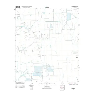 2013 Shiloh2013 Print · USGSCoastal Liberty County is captured here in the early twenty-first century, showcasing a landscape where family legacy and water management intersect. Genealogists and local historians can trace numerous rural burial sites like Albritton Cem and Sherman Cem, alongside historic hubs like the Abshier Settlement.
 - 2016 Map of Shiloh, 2016 Print
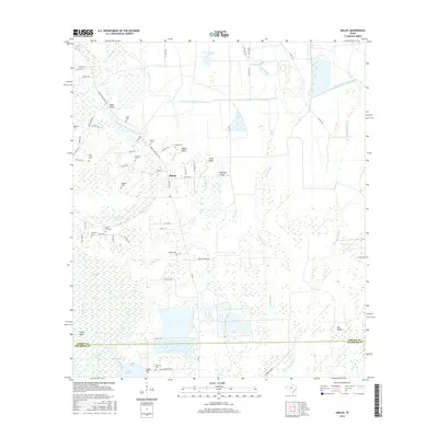 2016 Shiloh2016 Print · USGSCoastal wetlands and rural homesteads define this Liberty County landscape in the mid-2010s. Genealogists can locate over ten distinct burial grounds including Lone Star Cem, Pine Grove Cem, and Sherman Cem near the shores of Lake Charlotte.
 - 2019 Map of Shiloh, 2019 Print
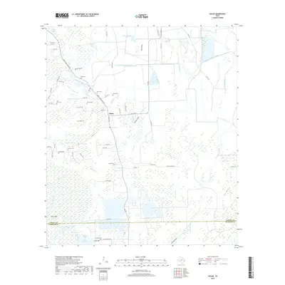 2019 Shiloh2019 Print · USGSCoastal Liberty County and the lower Trinity River basin are documented here in the late 2010s. Genealogists can locate numerous small burial grounds such as Lone Star Cem, Worthy Cem, and Speight Cem among the wetlands near Shiloh.
 - 2022 Map of Shiloh, 2022 Print
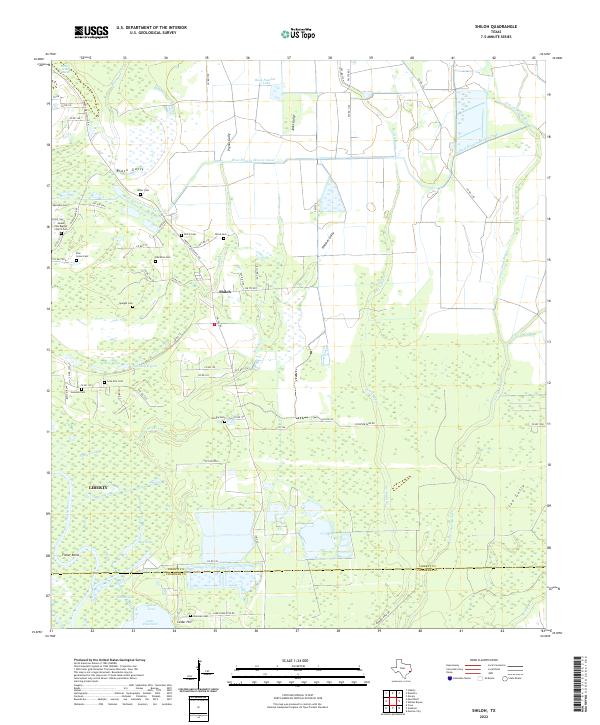 2022 Shiloh2022 Print · USGSCoastal Texas near Shiloh and the Trinity River is captured in this modern survey, revealing a landscape of family-named gullies and small cemeteries. Genealogists can trace family roots at Mount Zion Baptist Church Cem, Quarters Cem, and Worthy Cem near the banks of Turtle Bayou.
End of results
Showing maps 1-11 of 11
Top cities near Tivett
- Baytown historical maps
- Liberty historical maps
- Dayton historical maps
- Mont Belvieu historical maps
- Beach City historical maps
- Anahuac historical maps
See more
Frequently asked questions
- What are the different types of historical maps available for Tivett?
- What is the oldest map of Tivett?
- Where can I purchase historical maps of Tivett for my home or office?
- Where can I download high-res historical maps of Tivett?
- Are there historical topographic maps available for Tivett?
- Is there historical aerial imagery available for Tivett?
- Where are historical maps of Tivett sourced from?