Old Maps of Coolidge, Texas for Hiking & Exploration
Hike through history with 16 historic maps of Coolidge. Explore old trails, ghost towns, and forgotten backroads — perfect for outdoor adventurers and local explorers.
- Rediscover forgotten places: Map out old mining camps, roads, and footpaths that no longer exist on modern maps.
- Layer with modern tools: Combine with LiDAR or satellite views to plan hikes through historical terrain.
- Made for exploration: Popular among hikers, overlanders, and local history lovers.
Use these maps to find adventure and explore the hidden past of Coolidge.
Coolidge, TX maps
(16)- 1954 Map of Waco, 1964 Print
 1954 Waco1964 Print · USGSCentral Texas during the mid-fifties shows a landscape defined by the expansion of Fort Hood Military Reservation and the Brazos river system. Trace the rail lines and early airfields like James Connally Air Force Base and settlements like Temple or McGregor.2 unique versions available
 - 1955 Map of Waco
 1955 Waco1955 Print · USGSCentral Texas at the peak of the Cold War reveals a landscape defined by military expansion and major water projects. Researchers can trace the footprints of Fort Hood, the waters of Lake Waco, and regional hubs like Temple or Mexia.
 - 1957 Map of Groesbeck
 1957 Groesbeck1957 Print · USGSLimestone County at the turn of the century shows a dense web of railroad stops and rural post offices centered on the Navasota River. Genealogists and historians can locate family sites near Honest Ridge School, Springfield, and the Reunion Grounds.
 - 1960 Map of Echols, 1961 Print
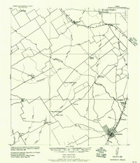
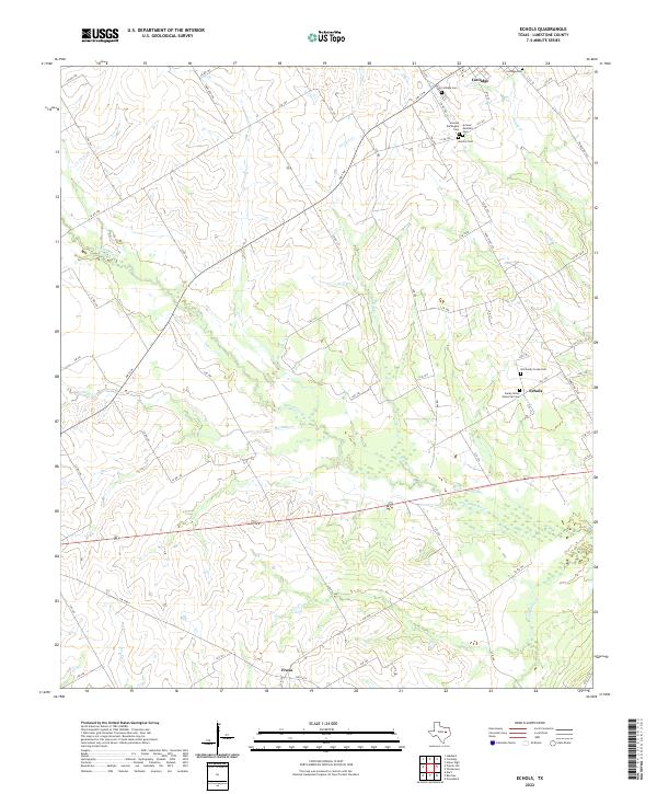
 1960 Echols1961 Print · USGSLimestone County was a landscape of quiet rural communities and creek-side farms at the dawn of the sixties. You can trace early settlement roots through local markers like Coolidge Cem, the Old Railroad Grade, and the Echols Sch.2 unique versions available
 - 1965 Map of Coolidge, 1967 Print
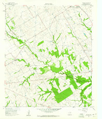
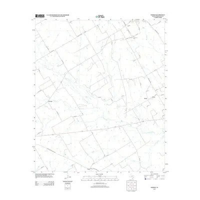
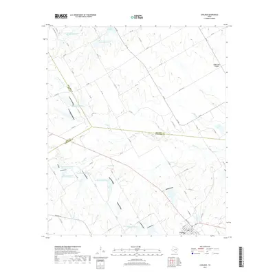
 1965 Coolidge1967 Print · USGSCoolidge and the surrounding Limestone County prairie are captured here during a period of significant water management in the mid-sixties. Genealogists and local historians can trace the rural landscape through the Dover Cem and settlements like Munger or Calina.2 unique versions available
 - 1985 Map of Mexia
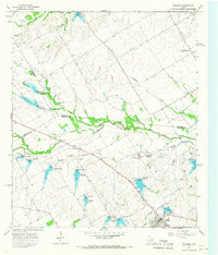
 1985 Mexia1985 Print · USGSLimestone and Freestone counties are shown in the mid-eighties as centers of rail-linked commerce and growing reservoir systems. Researchers can trace the grounds of Mexia State School, the campus of Westminster College, and historic Fort Parker.2 unique versions available
 - 2010 Map of Coolidge, 2010 Print
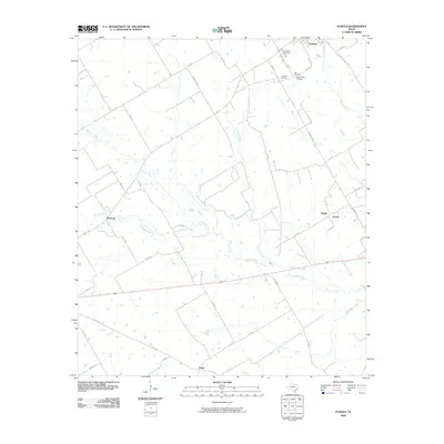
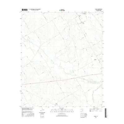
 2010 Coolidge2010 Print · USGSCovers Coolidge, including Calina, Eldorado Center, and other nearby areas
 - 2010 Map of Echols, 2010 Print
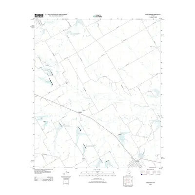
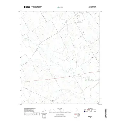
 2010 Echols2010 Print · USGSCovers Coolidge, including Frosa, Echols, and other nearby areas
 - 2013 Map of Coolidge, 2013 Print
 2013 Coolidge2013 Print · USGSCovers Coolidge, including Calina, Eldorado Center, and other nearby areas
 - 2013 Map of Echols, 2013 Print
 2013 Echols2013 Print · USGSCovers Coolidge, including Frosa, Echols, and other nearby areas
 - 2016 Map of Coolidge, 2016 Print
 2016 Coolidge2016 Print · USGSCovers Coolidge, including Calina, Eldorado Center, and other nearby areas
 - 2016 Map of Echols, 2016 Print
 2016 Echols2016 Print · USGSCovers Coolidge, including Frosa, Echols, and other nearby areas
 - 2019 Map of Echols, 2019 Print
 2019 Echols2019 Print · USGSCovers Coolidge, including Frosa, Echols, and other nearby areas
 - 2019 Map of Coolidge, 2019 Print
 2019 Coolidge2019 Print · USGSCovers Coolidge, including Calina, Eldorado Center, and other nearby areas
 - 2022 Map of Echols, 2022 Print
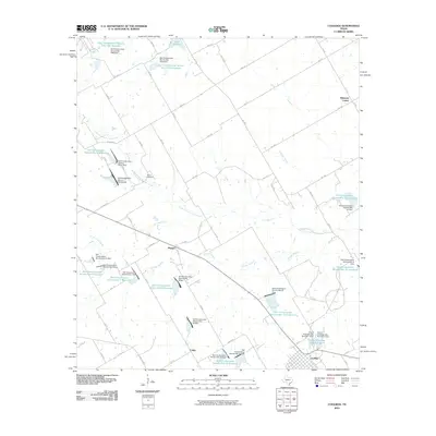
 2022 Echols2022 Print · USGSLimestone County in the early twenty-first century reveals a landscape of enduring rural settlements and distinct ethnic cemeteries. Genealogists can trace family heritage at Armour Norwegian Cem or Sandy Union Memorial Cem near Coolidge.
 - 2022 Map of Coolidge, 2022 Print
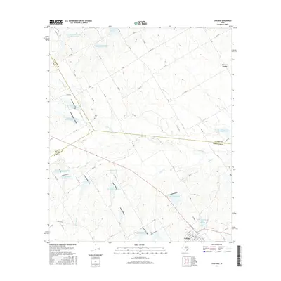
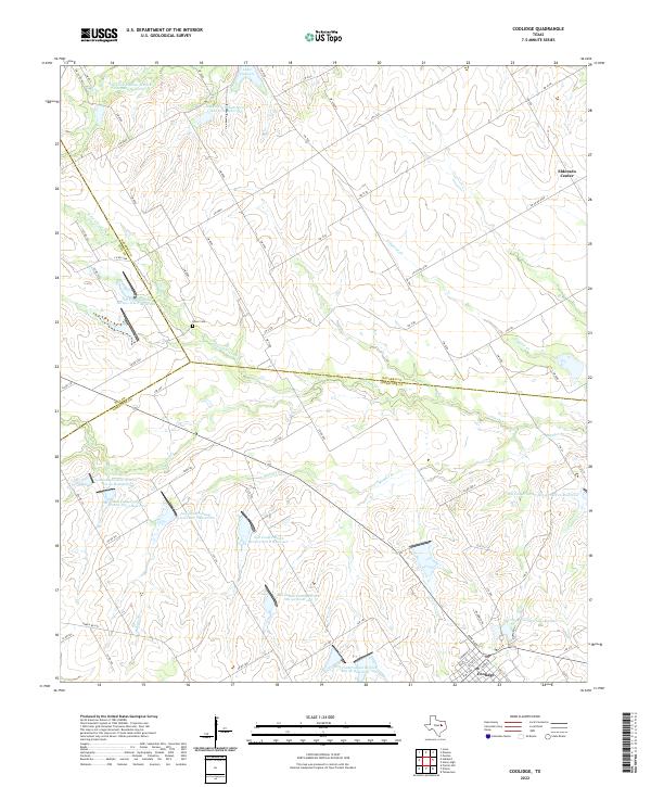 2022 Coolidge2022 Print · USGSCoolidge and the tri-county border area of Limestone, Hill, and Navarro are documented here in the early 2020s. Genealogists and local historians can trace family locations near Dover Cem, Eldorado Center, and the shores of Lake Dawson.
End of results
Showing maps 1-16 of 16
Top cities near Coolidge
- Mexia historical maps
- Groesbeck historical maps
- Mart historical maps
- Hubbard historical maps
- Wortham historical maps
- Dawson historical maps
See more
Frequently asked questions
- What are the different types of historical maps available for Coolidge?
- What is the oldest map of Coolidge?
- Where can I purchase historical maps of Coolidge for my home or office?
- Where can I download high-res historical maps of Coolidge?
- Are there historical topographic maps available for Coolidge?
- Is there historical aerial imagery available for Coolidge?
- Where are historical maps of Coolidge sourced from?