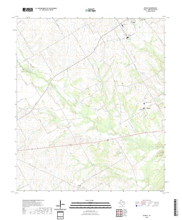
2022 Map of Echols
USGS Topo · Published 2022About this map
The Navasota River and its intricate tributaries, including Pin Oak Cr and Mustang Cr, define the rural landscape of Limestone County in this 2022 survey. This area is characterized by scattered agricultural settlements and a deeply rooted community history, most visible in the cluster of specialized burial grounds near the town of Coolidge. These sites, such as the Armour Norwegian Cem and Armour Mexican Cem, suggest a diverse ethnic heritage tied to the land's early development. Smaller locales like Echols and Frosa anchor the southern and eastern portions of the map, connected by a network of county roads such as FM 73 W and Ranch Rd 936. The mapping of Sandy Cr and Christmas Cr further illustrates the complex drainage patterns of the Central Texas plains, providing an essential resource for understanding the regional hydrography and local genealogy.
Find a feature on this map
66 named features on this map. Tap any name to fly to it.
Don’t see what you’re looking for? This feature index may not catch every label — zoom into the map to look around manually.
Map Details
Editions of this 2022 Echols Map
This is the sole edition of this map. No revisions or reprints were ever made.
Other maps of this area

1920 · Mart
USGS Topo · 1:62,500

1954 · Waco
USGS Topo · 1:250,000

1955 · Waco
USGS Topo · 1:250,000

1956 · Hubbard
USGS Topo · 1:24,000

1956 · Mart
USGS Topo · 1:24,000

1957 · Prairie Hill
USGS Topo · 1:24,000

1957 · Groesbeck
USGS Topo · 1:62,500

1960 · Echols
USGS Topo · 1:24,000

1960 · Groesbeck
USGS Topo · 1:24,000

1960 · Tehuacana
USGS Topo · 1:24,000