Old Maps of Lipscomb, Texas for Hiking & Exploration
Hike through history with 15 historic maps of Lipscomb. Explore old trails, ghost towns, and forgotten backroads — perfect for outdoor adventurers and local explorers.
- Rediscover forgotten places: Map out old mining camps, roads, and footpaths that no longer exist on modern maps.
- Layer with modern tools: Combine with LiDAR or satellite views to plan hikes through historical terrain.
- Made for exploration: Popular among hikers, overlanders, and local history lovers.
Use these maps to find adventure and explore the hidden past of Lipscomb.
Lipscomb, TX maps
(15)- 1954 Map of Perryton, 1966 Print
 1954 Perryton1966 Print · USGSThe High Plains of the Texas and Oklahoma panhandles are shown during a period of steady growth in the mid-1950s. Genealogists and researchers can trace rail history and local landmarks like Panhandle A & M College, Spurlock Chapel, and the isolated Lord Station.3 unique versions available
 - 1958 Map of Perryton
 1958 Perryton1958 Print · USGSThe Oklahoma Panhandle and Texas borderlands come alive in this mid-century survey, showing the vital rail-and-ranch economy of the High Plains. Researchers can trace historic stops along the Chicago Rock Island and Pacific and locate rural landmarks like Bethel Church and Spurlock Chapel.
 - 1972 Map of Willow Creek, 1974 Print
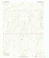 1972 Willow Creek1974 Print · USGSThe Texas Panhandle in the early seventies reveals a landscape transitioning between traditional ranching terrain and a productive energy frontier. Researchers can trace the industrial footprint of the Oil and Gas Field and landmarks like Wolf Creek and Willow Creek.
 - 1972 Map of Lipscomb, 1974 Print
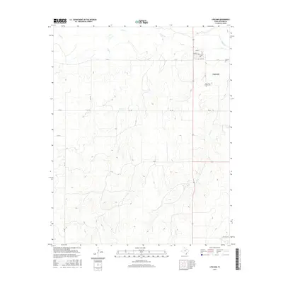
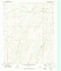 1972 Lipscomb1974 Print · USGSLipscomb and the surrounding Texas Panhandle high plains are documented here in the early 1970s. Local researchers can trace family sites at St Johns Cem or locate old ranching landmarks like Jack, Scott, and Little.
 - 1986 Map of Perryton
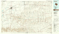 1986 Perryton1986 Print · USGSThe High Plains and canyon breaks of the Texas Panhandle are captured here in the mid-eighties, showing the region's vital energy and rail corridors. Trace the path of the Atchison Topeka and Santa Fe through Perryton and Booker or locate remote rural outposts like Lipscomb and Higgins.
 - 2010 Map of Willow Creek, 2010 Print
 2010 Willow Creek2010 Print · USGSCovers Lipscomb, including Lipscomb County, United States, and other nearby areas
 - 2010 Map of Lipscomb, 2010 Print
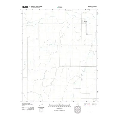 2010 Lipscomb2010 Print · USGSCovers Lipscomb, including Lipscomb County, United States, and other nearby areas
 - 2012 Map of Lipscomb, 2012 Print
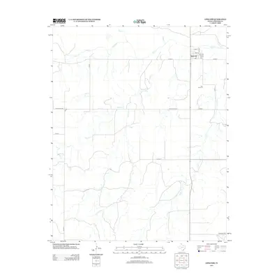 2012 Lipscomb2012 Print · USGSCovers Lipscomb, including Lipscomb County, United States, and other nearby areas
 - 2012 Map of Willow Creek, 2012 Print
 2012 Willow Creek2012 Print · USGSCovers Lipscomb, including Lipscomb County, United States, and other nearby areas
 - 2016 Map of Lipscomb, 2016 Print
 2016 Lipscomb2016 Print · USGSCovers Lipscomb, including Lipscomb County, United States, and other nearby areas
 - 2016 Map of Willow Creek, 2016 Print
 2016 Willow Creek2016 Print · USGSCovers Lipscomb, including Lipscomb County, United States, and other nearby areas
 - 2019 Map of Willow Creek, 2019 Print
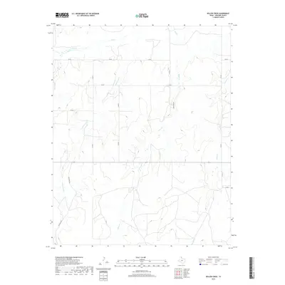 2019 Willow Creek2019 Print · USGSCovers Lipscomb, including Lipscomb County, United States, and other nearby areas
 - 2019 Map of Lipscomb, 2019 Print
 2019 Lipscomb2019 Print · USGSCovers Lipscomb, including Lipscomb County, United States, and other nearby areas
 - 2022 Map of Willow Creek, 2022 Print
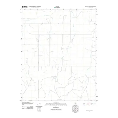
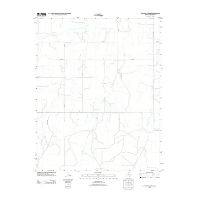
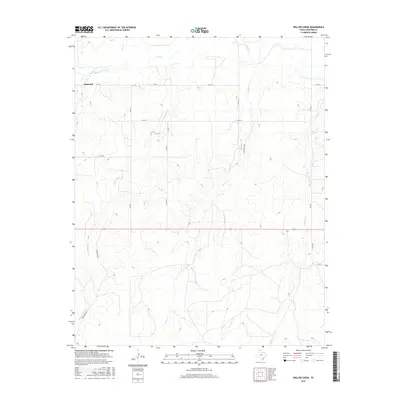
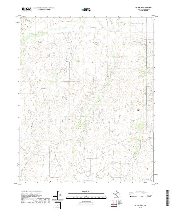 2022 Willow Creek2022 Print · USGSLipscomb County ranch lands are documented in this contemporary survey of the Texas Panhandle. Researchers can trace land divisions and watershed drainage across Tyson Ranch Rd, Wolf Cr, and the deep cuts of Canyon Cr.
 - 2022 Map of Lipscomb, 2022 Print
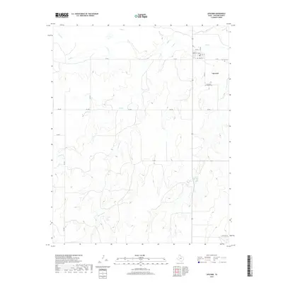
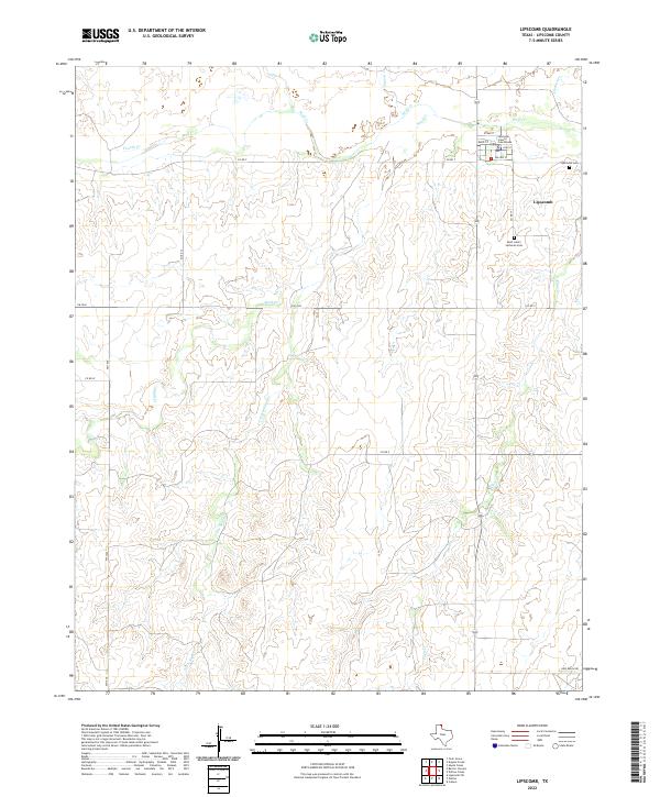 2022 Lipscomb2022 Print · USGSLipscomb County in the early twenty-first century remains a landscape of wide-open ranch land and deep creek drainages. Researchers can locate the Lipscomb County Courthouse and trace family sites at Lipscomb Cemetery and Saint John's Lutheran Cemetery.
End of results
Showing maps 1-15 of 15
Top cities near Lipscomb
Frequently asked questions
- What are the different types of historical maps available for Lipscomb?
- What is the oldest map of Lipscomb?
- Where can I purchase historical maps of Lipscomb for my home or office?
- Where can I download high-res historical maps of Lipscomb?
- Are there historical topographic maps available for Lipscomb?
- Is there historical aerial imagery available for Lipscomb?
- Where are historical maps of Lipscomb sourced from?