Old Maps of New Lynn, Texas for Genealogy
Trace your family roots with 8 historic maps of New Lynn. These high-res maps reveal old neighborhoods, homesites, landmarks, and streets — helping you uncover where your ancestors lived and how the area evolved over time.
- Explore historic neighborhoods: Identify where your relatives may have lived in the 1800s or 1900s.
- Compare maps over time: Trace the changes in streets, buildings, and landmarks for multi-generational research.
- Perfect for genealogy & ancestry research: Used by family historians and researchers to map out lineage and migration.
These maps are an incredible resource for exploring your personal connection to New Lynn's past.
New Lynn, TX maps
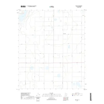
(8)- 1954 Map of Lubbock, 1958 Print
 1954 Lubbock1958 Print · USGSThe High Plains and Caprock region of West Texas come alive in the mid-1950s, showing a landscape defined by oil discovery and the Brazos River headwaters. Genealogists and historians can trace rail-connected towns like Roaring Springs, find the Pleasant Valley church, or locate family-named landmarks such as Soldier Mound.4 unique versions available
 - 1970 Map of New Lynn, 1971 Print
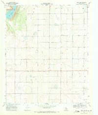 1970 New Lynn1971 Print · USGSLynn County was a landscape of remote farmsteads and groundwater management in the early seventies. Trace the distribution of rural resource sites like Bartley, New Lynn, and the shores of Tahoka Lake as the region's agricultural infrastructure expanded.
 - 1986 Map of Slaton
 1986 Slaton1986 Print · USGSThe Llano Estacado meets the rolling breaks of the Brazos River in the mid-1980s as the region's ranching and rail roots remain visible. Trace the path of the Atchison Topeka and Santa Fe through Post or locate Guthrie Lake and Wilson.2 unique versions available
 - 2010 Map of New Lynn, 2010 Print
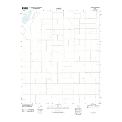 2010 New Lynn2010 Print · USGSCovers New Lynn, including Lynn County, United States, and other nearby areas
 - 2012 Map of New Lynn, 2012 Print
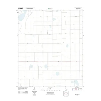 2012 New Lynn2012 Print · USGSCovers New Lynn, including Lynn County, United States, and other nearby areas
 - 2016 Map of New Lynn, 2016 Print
 2016 New Lynn2016 Print · USGSCovers New Lynn, including Lynn County, United States, and other nearby areas
 - 2019 Map of New Lynn, 2019 Print
 2019 New Lynn2019 Print · USGSCovers New Lynn, including Lynn County, United States, and other nearby areas
 - 2022 Map of New Lynn, 2022 Print
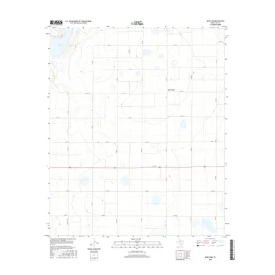
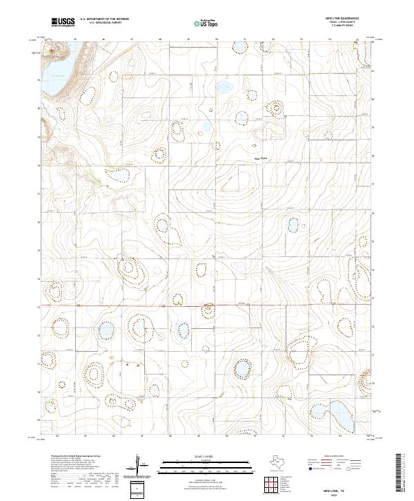 2022 New Lynn2022 Print · USGSLynn County at the start of the 2020s shows a landscape of precision-grid agriculture and scattered salt lakes. Genealogists and local historians can trace the road networks radiating from New Lynn to significant landmarks like Tahoka Lake and along Fm 1054.
End of results
Showing maps 1-8 of 8
Top cities near New Lynn
Frequently asked questions
- What are the different types of historical maps available for New Lynn?
- What is the oldest map of New Lynn?
- Where can I purchase historical maps of New Lynn for my home or office?
- Where can I download high-res historical maps of New Lynn?
- Are there historical topographic maps available for New Lynn?
- Is there historical aerial imagery available for New Lynn?
- Where are historical maps of New Lynn sourced from?