Old Maps of Slaton, Texas
Explore 14 old maps of Slaton, spanning from 1954 to today. These high-resolution historic maps reveal how streets, neighborhoods, landmarks, and natural features evolved over time — perfect for genealogy, metal detecting, research, and local history exploration.
What you can do with these maps:
- See how Slaton changed over time: Compare historical maps to modern-day views to trace roads, homesites, rail lines & more.
- View detailed metadata: Each map includes creators, publishers, year, scale, and archive source.
- Overlay maps with satellite & LiDAR: Visualize the past alongside modern tools to explore terrain & human change.
- Trusted historical sources: Maps sourced from the USGS, Library of Congress, and other archives.
- Access maps your way: View online, download high-res files, or order prints for personal or research use.
Start exploring old maps of Slaton to uncover forgotten places, hidden landmarks, and the deep history beneath your feet.
Slaton, TX maps
(14)- 1954 Map of Lubbock, 1958 Print
 1954 Lubbock1958 Print · USGSThe High Plains and Caprock region of West Texas come alive in the mid-1950s, showing a landscape defined by oil discovery and the Brazos River headwaters. Genealogists and historians can trace rail-connected towns like Roaring Springs, find the Pleasant Valley church, or locate family-named landmarks such as Soldier Mound.4 unique versions available
 - 1965 Map of Slaton, 1966 Print
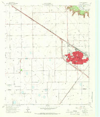 1965 Slaton1966 Print · USGSSlaton and the South Plains are captured in the mid-sixties as the railroad and agriculture define the landscape. Researchers can trace the community through Englewood Cem, Mercy Hospital, and local schools like Lubbock Sch.2 unique versions available
 - 1965 Map of Slaton NE, 1966 Print
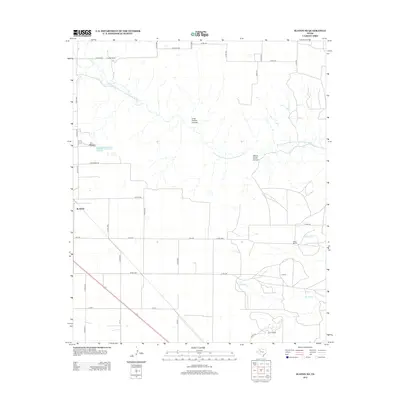
 1965 Slaton NE1966 Print · USGSThe West Texas caprock country comes into focus in the mid-1960s as the rail lines and ranch lands around Lubbock County were being mapped in detail. Genealogists and local historians can trace the tracks of the Atchison Topeka and Santa Fe and locate family-named landmarks like Wood Ranch or the Katy K Ranch.2 unique versions available
 - 1986 Map of Slaton
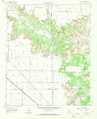
 1986 Slaton1986 Print · USGSThe Llano Estacado meets the rolling breaks of the Brazos River in the mid-1980s as the region's ranching and rail roots remain visible. Trace the path of the Atchison Topeka and Santa Fe through Post or locate Guthrie Lake and Wilson.2 unique versions available
 - 2010 Map of Slaton NE, 2010 Print
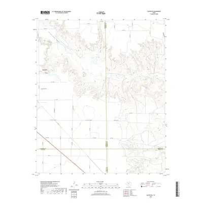
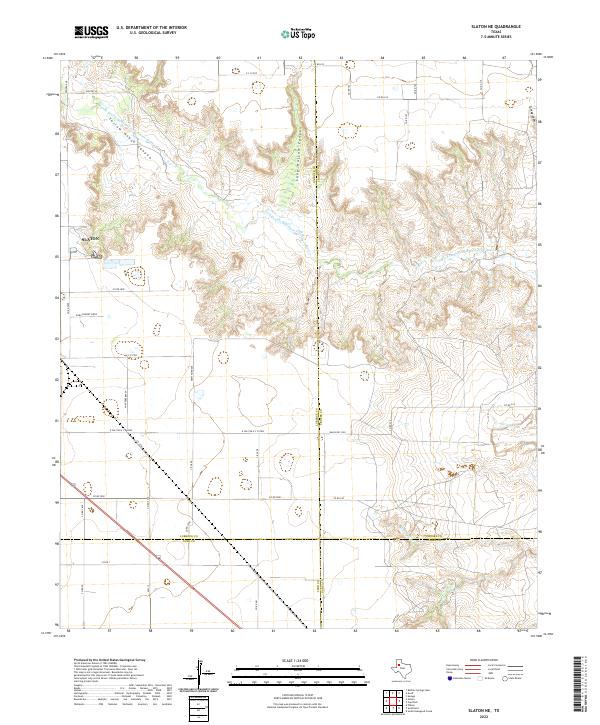
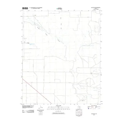 2010 Slaton NE2010 Print · USGSCovers Slaton, including Lubbock County, Garza County, and other nearby areas
 - 2010 Map of Slaton, 2010 Print
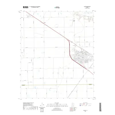
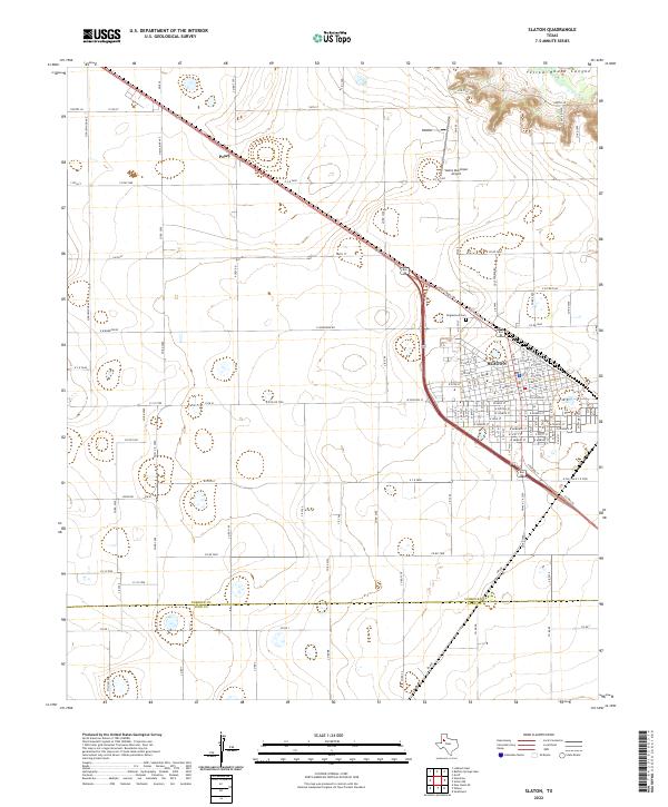
 2010 Slaton2010 Print · USGSCovers Slaton, including Posey, Lubbock County, and other nearby areas
 - 2012 Map of Slaton NE, 2012 Print
 2012 Slaton NE2012 Print · USGSCovers Slaton, including Lubbock County, Garza County, and other nearby areas
 - 2012 Map of Slaton, 2012 Print
 2012 Slaton2012 Print · USGSCovers Slaton, including Posey, Lubbock County, and other nearby areas
 - 2016 Map of Slaton, 2016 Print
 2016 Slaton2016 Print · USGSCovers Slaton, including Posey, Lubbock County, and other nearby areas
 - 2016 Map of Slaton NE, 2016 Print
 2016 Slaton NE2016 Print · USGSCovers Slaton, including Lubbock County, Garza County, and other nearby areas
 - 2019 Map of Slaton, 2019 Print
 2019 Slaton2019 Print · USGSCovers Slaton, including Posey, Lubbock County, and other nearby areas
 - 2019 Map of Slaton NE, 2019 Print
 2019 Slaton NE2019 Print · USGSCovers Slaton, including Lubbock County, Garza County, and other nearby areas
 - 2022 Map of Slaton NE, 2022 Print
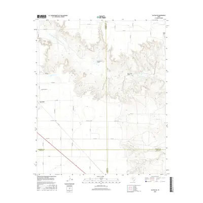
 2022 Slaton NE2022 Print · USGSTexas South Plains ranching and cotton land meet the dramatic breaks of the Brazos River in this 2022 survey. Genealogists and local historians can trace specific family landmarks and rural routes like Dora Pinkert Drvw, Lazy K Rd, and Yellow House Canyon.
 - 2022 Map of Slaton, 2022 Print
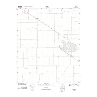
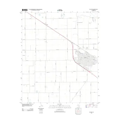
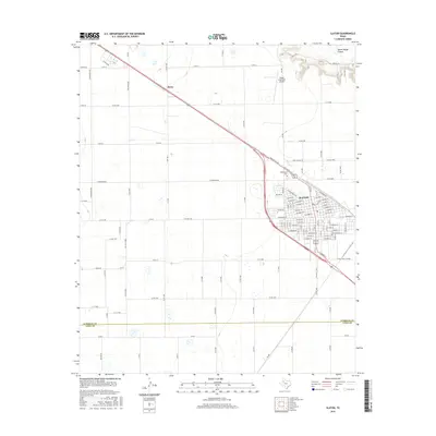
 2022 Slaton2022 Print · USGSThe Lubbock County high plains come into focus in the early twenty-first century, centered on the grid of Slaton. Researchers can trace the town's growth near Englewood Cem and follow the descent into Yellow House Canyon.
End of results
Showing maps 1-14 of 14
Top cities near Slaton
- Lubbock historical maps
- Idalou historical maps
- Lorenzo historical maps
- Ransom Canyon historical maps
- Wilson historical maps
- Buffalo Springs historical maps
See more
Frequently asked questions
- What are the different types of historical maps available for Slaton?
- What is the oldest map of Slaton?
- Where can I purchase historical maps of Slaton for my home or office?
- Where can I download high-res historical maps of Slaton?
- Are there historical topographic maps available for Slaton?
- Is there historical aerial imagery available for Slaton?
- Where are historical maps of Slaton sourced from?