Old Maps of Midway, Texas for Academic Research
Study the evolution of Midway with 16 high-resolution historic maps. Whether you're teaching, researching, or modeling changes in land use, these maps provide essential visual documentation of urban, environmental, and geographic change.
- Analyze long-term change: Track patterns in development, transportation, and natural features.
- Ideal for environmental or urban studies: Support academic projects with primary historical map data.
- Use in the classroom or lab: Educators and researchers rely on these maps to bring historical context to life.
These maps are a powerful tool for teaching, research, and visualizing how Midway has changed over the decades.
Midway, TX maps
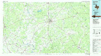
(16)- 1953 Map of Palestine, 1964 Print
 1953 Palestine1964 Print · USGSEast Texas was defined by its deep pine forests and burgeoning energy sector in the mid-1950s. Genealogists and historians can trace the rail-and-river economy through settlements like Tennessee Colony and Pollok or explore the early footprints of the Cayuga Oil Field and Davy Crockett National Forest.2 unique versions available
 - 1957 Map of Palestine
 1957 Palestine1957 Print · USGSEast Texas in the mid-fifties reveals a landscape of deep pine forests and winding river valleys before the era of massive reservoir construction. Researchers can trace the legacy of the timber and rail industries through labels for the Missouri Pacific RR, Davy Crockett National Forest, and Nacogdoches.
 - 1964 Map of Sand Ridge, 1967 Print
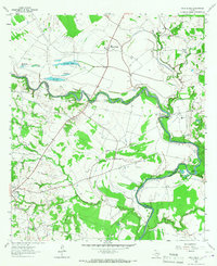 1964 Sand Ridge1967 Print · USGSThe Trinity River valley in the mid-1960s shows a landscape of rural Texas settlements and river bottomlands. Genealogists can locate family landmarks like Boatman Cem, Union Grove Ch, and the grounds of the Eastham State Prison Farm.3 unique versions available
 - 1964 Map of Elwood, 1967 Print
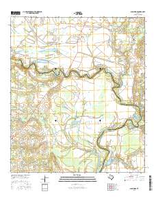
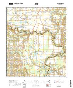
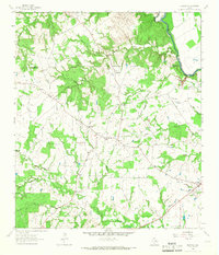 1964 Elwood1967 Print · USGSMadison County's river-border country is captured here in the mid-1960s as the Trinity River winds past rural homesteads. Local researchers can trace family landmarks like the Alphie Cem, the settlement at Old Elwood, and the community hub at Midway.2 unique versions available
 - 1984 Map of Palestine
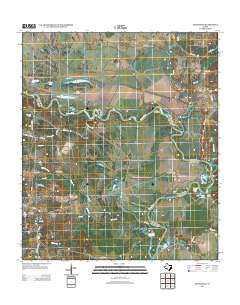
 1984 Palestine1984 Print · USGSEast Texas in the mid-eighties reveals a landscape of massive reservoirs and protected timberlands between Palestine and Nacogdoches. Researchers can trace old routes like the Missouri Pacific RR and locate rural communities such as Tennessee Colony, Latexo, and Etoile.3 unique versions available
 - 1985 Map of Crockett
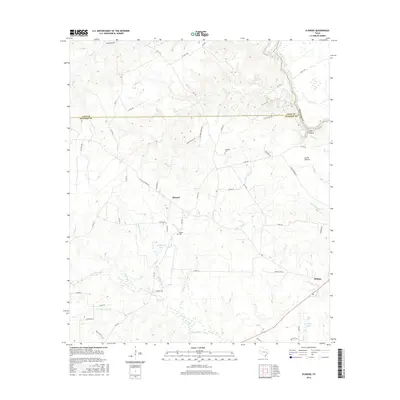
 1985 Crockett1985 Print · USGSEast Texas timber and river country are captured here during the mid-eighties, showing the region's transition into the modern era. Genealogists and historians can trace the Old San Antonio Road and locate rural landmarks like Hazel Chapel or Weldon Cem.2 unique versions available
 - 2010 Map of Sand Ridge, 2010 Print
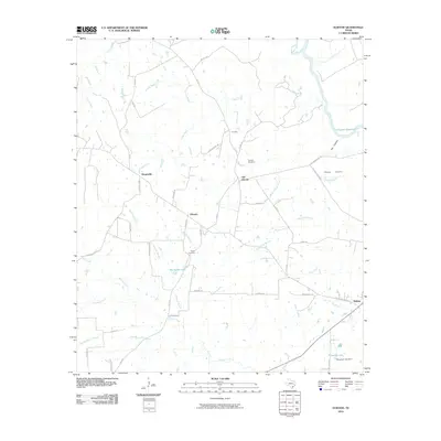
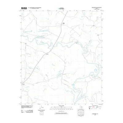 2010 Sand Ridge2010 Print · USGSCovers Midway, including Vistula, Antioch, and other nearby areas
 - 2010 Map of Elwood, 2010 Print
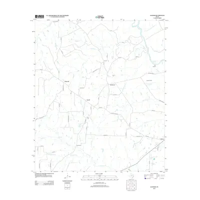
 2010 Elwood2010 Print · USGSCovers Midway, including Dingerville, Elwood, and other nearby areas
 - 2013 Map of Elwood, 2013 Print
 2013 Elwood2013 Print · USGSCovers Midway, including Dingerville, Elwood, and other nearby areas
 - 2013 Map of Sand Ridge, 2013 Print
 2013 Sand Ridge2013 Print · USGSCovers Midway, including Vistula, Antioch, and other nearby areas
 - 2016 Map of Elwood, 2016 Print
 2016 Elwood2016 Print · USGSCovers Midway, including Dingerville, Elwood, and other nearby areas
 - 2016 Map of Sand Ridge, 2016 Print
 2016 Sand Ridge2016 Print · USGSCovers Midway, including Vistula, Antioch, and other nearby areas
 - 2019 Map of Elwood, 2019 Print
 2019 Elwood2019 Print · USGSCovers Midway, including Dingerville, Elwood, and other nearby areas
 - 2019 Map of Sand Ridge, 2019 Print
 2019 Sand Ridge2019 Print · USGSCovers Midway, including Vistula, Antioch, and other nearby areas
 - 2022 Map of Elwood, 2022 Print
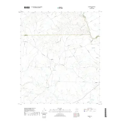
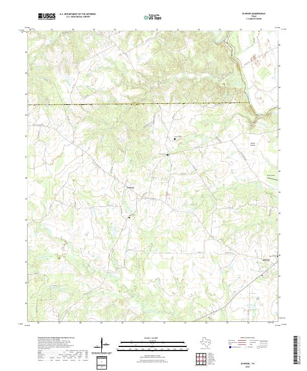 2022 Elwood2022 Print · USGSMadison and Leon counties meet at the Trinity River in this modern survey of the East Texas countryside. Genealogists can locate family landmarks like Alphin Cem and Elwood Cem, or trace the path of the historic Old San Antonio Rd.
 - 2022 Map of Sand Ridge, 2022 Print
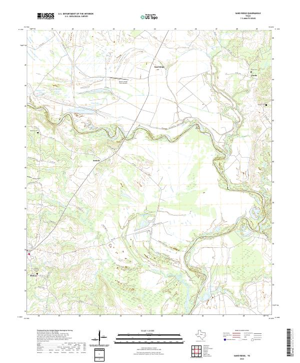 2022 Sand Ridge2022 Print · USGSThe Trinity River valley between Madison and Houston counties is shown here in the early 2020s, dominated by oxbow lakes and rural settlements. Researchers can locate family landmarks like Bozeman Cem and Vistula Cem or the old airfield at Seven J Stock Farm Airport.
End of results
Showing maps 1-16 of 16
Top cities near Midway
Frequently asked questions
- What are the different types of historical maps available for Midway?
- What is the oldest map of Midway?
- Where can I purchase historical maps of Midway for my home or office?
- Where can I download high-res historical maps of Midway?
- Are there historical topographic maps available for Midway?
- Is there historical aerial imagery available for Midway?
- Where are historical maps of Midway sourced from?