Old Maps of Stanton, Texas for Hiking & Exploration
Hike through history with 15 historic maps of Stanton. Explore old trails, ghost towns, and forgotten backroads — perfect for outdoor adventurers and local explorers.
- Rediscover forgotten places: Map out old mining camps, roads, and footpaths that no longer exist on modern maps.
- Layer with modern tools: Combine with LiDAR or satellite views to plan hikes through historical terrain.
- Made for exploration: Popular among hikers, overlanders, and local history lovers.
Use these maps to find adventure and explore the hidden past of Stanton.
Stanton, TX maps
(15)- 1954 Map of Big Spring, 1965 Print
 1954 Big Spring1965 Print · USGSWest Texas in the mid-1950s shows a landscape of growing oil towns and vital rail links along the Texas and Pacific RR. Researchers can trace the development of Big Spring, find smaller settlements like Knott and Lomax, or locate landmarks such as Boyds Chapel and Signal Mountain.4 unique versions available
 - 1958 Map of Big Spring
 1958 Big Spring1958 Print · USGSThe West Texas oil boom was in full swing during the late fifties, transforming the landscape around Howard and Mitchell counties. Genealogists and historians can trace the growth of Big Spring and Snyder alongside industrial landmarks like the Kelly-Snyder Oil Field and the Santa Fe rail lines.
 - 1966 Map of Stanton, 1968 Print
 1966 Stanton1968 Print · USGSStanton and the surrounding Martin County plains are captured in the mid-1960s as the local economy balanced rail transport and oil production. Genealogists and researchers can locate the Convent, the Hospital, and trace the path of the Texas and Pacific railroad.
 - 1966 Map of Stanton SE, 1969 Print
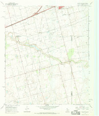 1966 Stanton SE1969 Print · USGSThe oil fields of the Permian Basin are in full development during the mid-sixties, marking the landscape with wells and pipelines. Genealogists and historians can trace the early industrial footprint of Stanton and Dix, locating landmarks like Evergreen Cem and Mustang Draw.
 - 1986 Map of Big Spring
 1986 Big Spring1986 Print · USGSWest Texas in the mid-eighties was a landscape defined by the deep roots of the petroleum industry and the path of the railroad. You can trace the expansive Snyder Oil Field, follow the Missouri Pacific line, or locate rural centers like Coahoma and Knott.2 unique versions available
 - 2010 Map of Stanton SE, 2010 Print
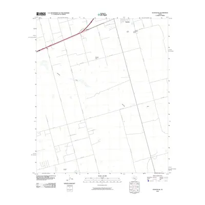 2010 Stanton SE2010 Print · USGSMartin County in 2010 shows a landscape defined by the West Texas oil industry and the steady growth of the Llano Estacado. Researchers can trace the layout of the Spraberry Trend Oil Field, locate the Evergreen Cemetery, and explore the roads around Dix and Stanton.
 - 2010 Map of Stanton, 2010 Print
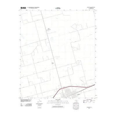 2010 Stanton2010 Print · USGSThe West Texas town of Stanton is documented here in the early twenty-first century, showing the intersection of vital regional transport and ranching routes. Genealogists and local historians can trace the town grid and nearby landmarks like the Permian Basin Encampment and Stanton Municipal Airport.
 - 2012 Map of Stanton SE, 2012 Print
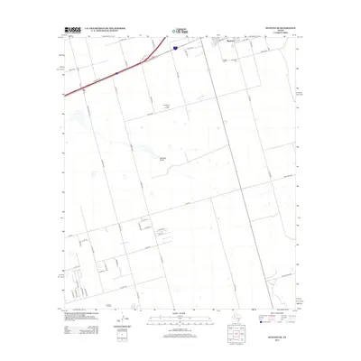 2012 Stanton SE2012 Print · USGSThe West Texas oil fields south of Stanton are seen here during the energy developments of the early 2010s. Researchers can trace the industrial landscape of the Spraberry Trend Oil Field and find local landmarks such as Evergreen Cem and Dix.
 - 2012 Map of Stanton, 2012 Print
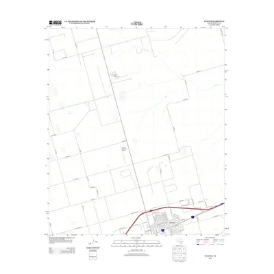 2012 Stanton2012 Print · USGSStanton and the surrounding Martin County plains are captured here in the early twenty-first century as the region balanced its agricultural roots with energy industry growth. Genealogists and local historians can trace the town's street grid from W School St to the outskirts near the Permian Basin Encampment.
 - 2016 Map of Stanton SE, 2016 Print
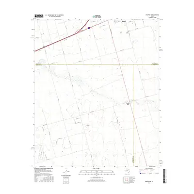 2016 Stanton SE2016 Print · USGSMartin and Midland Counties are captured here in the mid-2010s as the high plains landscape continues its legacy of ranching and transit. Researchers can trace local history at Evergreen Cem or follow the path of Mustang Draw past Dix and Stanton.
 - 2016 Map of Stanton, 2016 Print
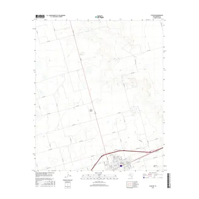 2016 Stanton2016 Print · USGSStanton and the surrounding Martin County plains are mapped here in the mid-2010s, showing the intersection of local town life and the high-speed transit of the Permian Basin. Researchers can trace the layout of the town's residential streets and the proximity of the Stanton Municipal Airport and Hamilton Draw.
 - 2019 Map of Stanton, 2019 Print
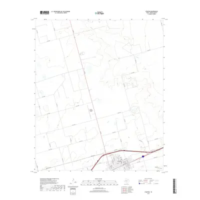 2019 Stanton2019 Print · USGSStanton and the surrounding Martin County plains are captured here in the late twenty-teens, showing the intersection of local commerce and West Texas ranching. Genealogists can trace town roots along Broadway St or locate outlying properties near Calf Cr and Stanton Municipal Airport.
 - 2019 Map of Stanton SE, 2019 Print
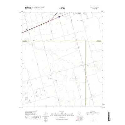 2019 Stanton SE2019 Print · USGSStanton and the high plains of the Permian Basin are captured in this 2019 survey of the West Texas crossroads. Researchers can trace the path of Mustang Draw and locate local landmarks like Evergreen Cem and the small settlement at Dix.
 - 2022 Map of Stanton SE, 2022 Print
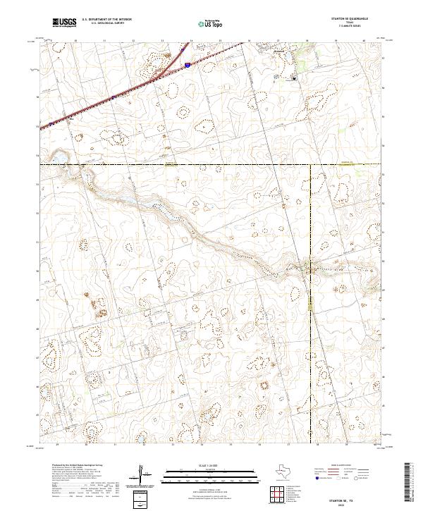 2022 Stanton SE2022 Print · USGSThe West Texas plains at the meeting point of Martin, Midland, and Glasscock counties are shown in this 2022 survey. Genealogists and historians can trace family locations near Stanton, Dix, and the Evergreen Cem while following the path of Mustang Draw.
 - 2022 Map of Stanton, 2022 Print
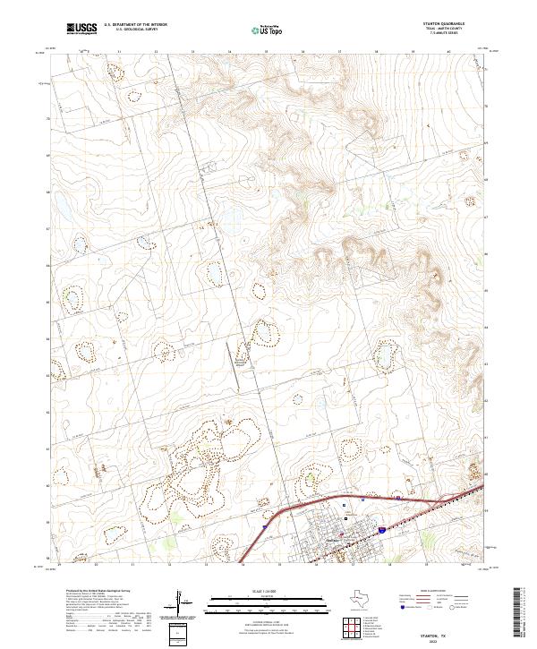 2022 Stanton2022 Print · USGSMartin County, Texas, is captured in this contemporary survey of the high plains ranching and farming country surrounding Stanton. Local researchers can locate family sites along CO RD 3201, trace the town grid near the Martin County Courthouse, or find Saint Joseph Cem.
End of results
Showing maps 1-15 of 15
Frequently asked questions
- What are the different types of historical maps available for Stanton?
- What is the oldest map of Stanton?
- Where can I purchase historical maps of Stanton for my home or office?
- Where can I download high-res historical maps of Stanton?
- Are there historical topographic maps available for Stanton?
- Is there historical aerial imagery available for Stanton?
- Where are historical maps of Stanton sourced from?