Old Maps of McGregor, Texas for Genealogy
Trace your family roots with 28 historic maps of McGregor. These high-res maps reveal old neighborhoods, homesites, landmarks, and streets — helping you uncover where your ancestors lived and how the area evolved over time.
- Explore historic neighborhoods: Identify where your relatives may have lived in the 1800s or 1900s.
- Compare maps over time: Trace the changes in streets, buildings, and landmarks for multi-generational research.
- Perfect for genealogy & ancestry research: Used by family historians and researchers to map out lineage and migration.
These maps are an incredible resource for exploring your personal connection to McGregor's past.
McGregor, TX maps
(28)- 1892 Map of Temple
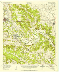
 1892 Temple1892 Print · USGSTexas at the turn of the century shows a landscape defined by emerging railroad junctions and river settlements. Genealogists can trace early homesteads and rail-town growth in Temple, McGregor, and Belton near the banks of the Leon River.6 unique versions available
 - 1894 Map of Gatesville
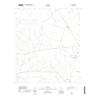
 1894 Gatesville1894 Print · USGSCentral Texas in the late nineteenth century was a landscape of expanding rail lines and established river settlements. Genealogists can trace family names across Pidcock Ranch, Fort Gates, and Coperas Cove, while following the path of the St. Louis Arkansas and Texas Railroad.4 unique versions available
 - 1931 Map of Mc Gregor
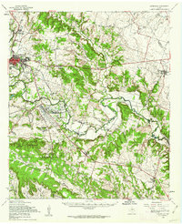
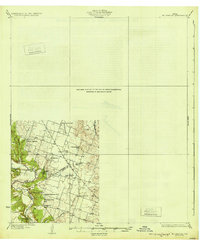 1931 Mc Gregor1931 Print · USGSCentral Texas rural life in the twenties is preserved here, showing a landscape densely dotted with family-named schools and country churches. Genealogists can trace ancestors through specific landmarks like Haunted Hill Sch, Blair Chapel, and the community at Eagle Springs.2 unique versions available
 - 1947 Map of Oglesby, 1953 Print
 1947 Oglesby1953 Print · USGSOglesby and the surrounding Coryell County countryside are documented here in the years following the war. Researchers can trace the St Louis Southwestern rail line and locate community landmarks like Pecan Grove Ch and Post Oak Cem.
 - 1950 Map of Gatesville, 1953 Print
 1950 Gatesville1953 Print · USGSCoryell County is captured here in the mid-twentieth century, showing the growing overlap between civilian life and the military footprint at North Fort Hood. Researchers can trace rural lineages through sites like Mound Cem, Leon Junction Sch, and the long-established State Reform School.
 - 1954 Map of Waco, 1964 Print
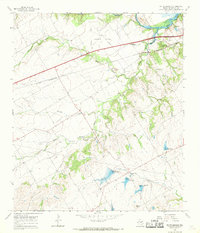
 1954 Waco1964 Print · USGSCentral Texas during the mid-fifties shows a landscape defined by the expansion of Fort Hood Military Reservation and the Brazos river system. Trace the rail lines and early airfields like James Connally Air Force Base and settlements like Temple or McGregor.2 unique versions available
 - 1955 Map of Waco
 1955 Waco1955 Print · USGSCentral Texas at the peak of the Cold War reveals a landscape defined by military expansion and major water projects. Researchers can trace the footprints of Fort Hood, the waters of Lake Waco, and regional hubs like Temple or Mexia.
 - 1957 Map of Oglesby, 1961 Print
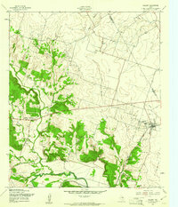 1957 Oglesby1961 Print · USGSSettlement in the late fifties centers on the railroad town of Oglesby and the winding Leon River. Genealogists and researchers can trace family landmarks like Pecan Grove Ch, Lamb Cem, and the mid-century Midway Drag Strip.2 unique versions available
 - 1958 Map of Gatesville, 1962 Print
 1958 Gatesville1962 Print · USGSCoryell County during the late fifties reveals the expanding footprint of the army alongside traditional river-valley settlements. Genealogists can trace family landmarks like Friendship Cemetery, the Gatesville State School for Boys, and the rail stops of the St Louis Southwestern Railroad.2 unique versions available
 - 1965 Map of McGregor, 1969 Print
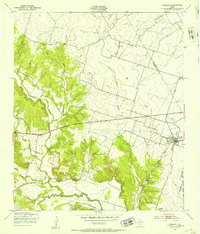
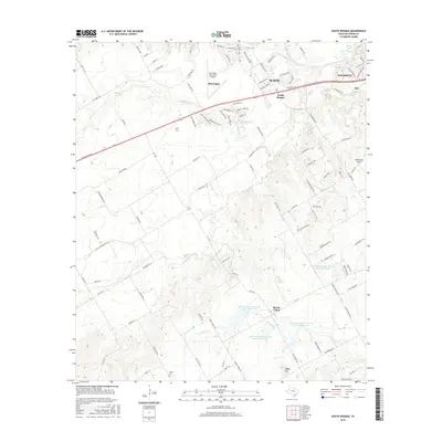
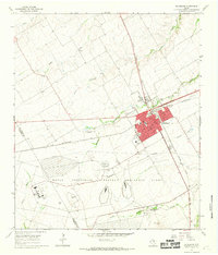 1965 McGregor1969 Print · USGSMcGregor stands at a major rail intersection in the mid-1960s, characterized by its transition from a transit hub to a center for military industry. Genealogists and historians can trace family plots at Comanche Springs Cemetery and study the massive Naval Industrial Reserve Ordinance Plant footprint.2 unique versions available
 - 1965 Map of South Bosque, 1969 Print
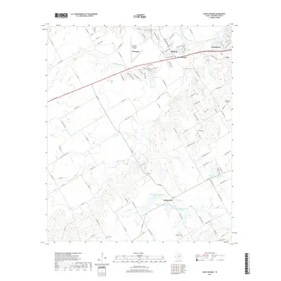
 1965 South Bosque1969 Print · USGSMcLennan County's suburban and rural landscape comes into focus in the mid-1960s as Woodway begins to expand near the shores of Lake Waco. Genealogists and historians can trace the paths of the St Louis Southwestern rail line or locate the historic Horne Cem and Harris Creek Ch.3 unique versions available
 - 1985 Map of Temple
 1985 Temple1985 Print · USGSCentral Texas in the mid-eighties shows a landscape of massive defense installations and deep-rooted farming communities. Genealogists and historians can trace the development of Temple and Gatesville, locate the Gatesville State School for Boys, or explore rural outposts like Zabcikville and Westphalia.2 unique versions available
 - 1994 Map of Oglesby, 1995 Print
 1994 Oglesby1995 Print · USGSIn the early 1990s, the Oglesby area showcased a mix of rural community life and specialized industrial footprints near the Leon River. Researchers can trace historical sites like Lime City (Site), several family-named cemeteries including Davidson Cem, and the Naval Weapons Industrial Reserve Plant.
 - 2010 Map of Oglesby, 2010 Print
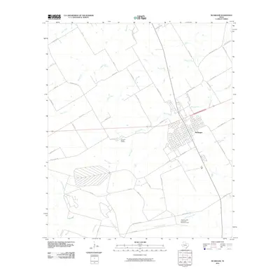
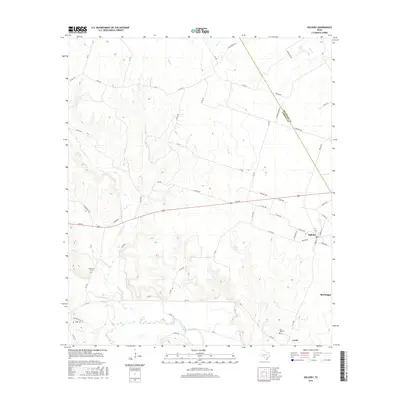
 2010 Oglesby2010 Print · USGSCovers McGregor, including Oglesby, Cavitt, and other nearby areas
 - 2010 Map of South Bosque, 2010 Print
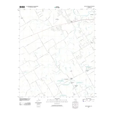 2010 South Bosque2010 Print · USGSCovers McGregor, including Waco, Woodway, and other nearby areas
 - 2010 Map of McGregor, 2010 Print
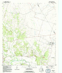
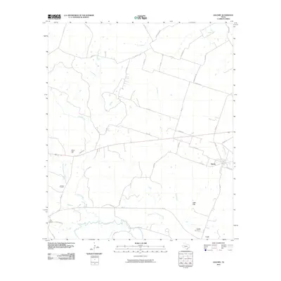
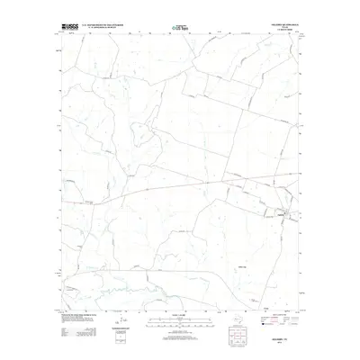
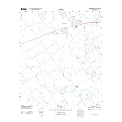
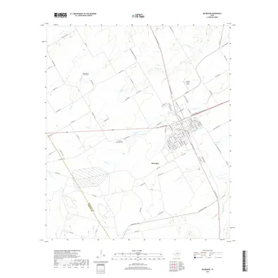
 2010 McGregor2010 Print · USGSCovers McGregor, including McLennan County, Coryell County, and other nearby areas
 - 2012 Map of Oglesby, 2012 Print
 2012 Oglesby2012 Print · USGSCovers McGregor, including Oglesby, Cavitt, and other nearby areas
 - 2012 Map of McGregor, 2012 Print
 2012 McGregor2012 Print · USGSCovers McGregor, including McLennan County, Coryell County, and other nearby areas
 - 2012 Map of South Bosque, 2012 Print
 2012 South Bosque2012 Print · USGSCovers McGregor, including Waco, Woodway, and other nearby areas
 - 2016 Map of South Bosque, 2016 Print
 2016 South Bosque2016 Print · USGSCovers McGregor, including Waco, Woodway, and other nearby areas
 - 2016 Map of Oglesby, 2016 Print
 2016 Oglesby2016 Print · USGSCovers McGregor, including Oglesby, Cavitt, and other nearby areas
 - 2016 Map of McGregor, 2016 Print
 2016 McGregor2016 Print · USGSCovers McGregor, including McLennan County, Coryell County, and other nearby areas
 - 2019 Map of McGregor, 2019 Print
 2019 McGregor2019 Print · USGSCovers McGregor, including McLennan County, Coryell County, and other nearby areas
 - 2019 Map of Oglesby, 2019 Print
 2019 Oglesby2019 Print · USGSCovers McGregor, including Oglesby, Cavitt, and other nearby areas
 - 2019 Map of South Bosque, 2019 Print
 2019 South Bosque2019 Print · USGSCovers McGregor, including Waco, Woodway, and other nearby areas
Showing maps 1-25 of 28
Top cities near McGregor
- Waco historical maps
- Hewitt historical maps
- Robinson historical maps
- Woodway historical maps
- Troy historical maps
- Lorena historical maps
See more
Frequently asked questions
- What are the different types of historical maps available for McGregor?
- What is the oldest map of McGregor?
- Where can I purchase historical maps of McGregor for my home or office?
- Where can I download high-res historical maps of McGregor?
- Are there historical topographic maps available for McGregor?
- Is there historical aerial imagery available for McGregor?
- Where are historical maps of McGregor sourced from?