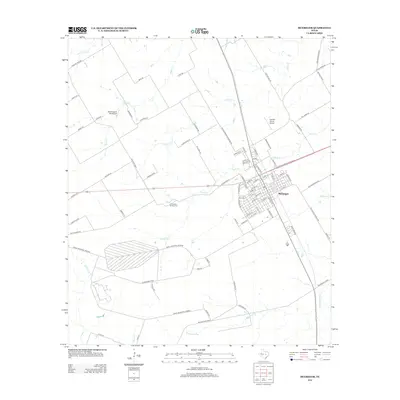
2012 Map of McGregor
USGS Topo · Published 2012About this map
McGregor serves as the central hub of this Central Texas landscape, where an organized street grid meets the winding courses of Harris Cr and Pecan Cr. To the southwest, the expansive Naval Industrial Reserve dominates the terrain, illustrating the significant federal footprint in the region. Smaller aviation hubs like Mockingbird Hill Airport and Havelka Haven Airport dot the outskirts, reflecting the local importance of private flight in the early 21st century.
Find a feature on this map
87 named features on this map. Tap any name to fly to it.
Don’t see what you’re looking for? This feature index may not catch every label — zoom into the map to look around manually.
Map Details
Editions of this 2012 McGregor Map
This is the sole edition of this map. No revisions or reprints were ever made.
Other maps of this area
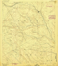
1888 · Meridian
USGS Topo · 1:125,000
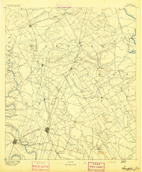
1892 · Temple
USGS Topo · 1:125,000
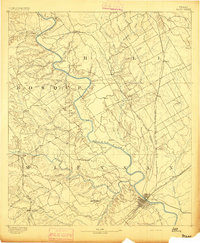
1892 · Waco
USGS Topo · 1:125,000
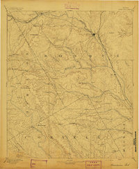
1894 · Meridian
USGS Topo · 1:125,000
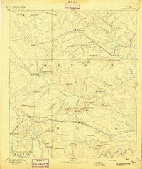
1894 · Gatesville
USGS Topo · 1:125,000
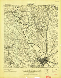
1920 · Waco
USGS Topo · 1:125,000
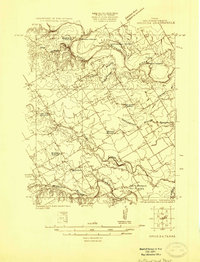
1924 · Waco 3-d
USGS Topo · 1:48,000
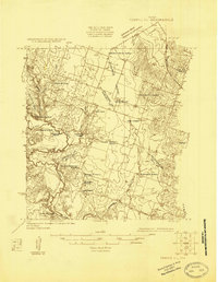
1924 · Temple 2-C
USGS Topo · 1:48,000
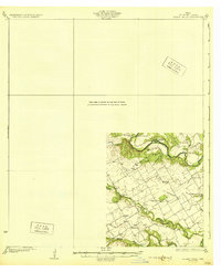
1931 · Valley Mills
USGS Topo · 1:62,500
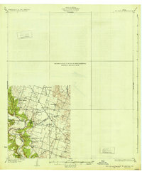
1931 · Mc Gregor
USGS Topo · 1:62,500