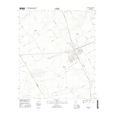
2016 Map of McGregor
USGS Topo · Published 2016About this map
McGregor serves as the central hub of this Central Texas landscape, where the street grid of the town site meets the diagonal paths of major regional corridors like S Lone Star Pkwy and Highway 84. The surrounding terrain is defined by a dense network of seasonal and perennial waterways, including Harris Cr and Pecan Cr, which drain toward the S Bosque River in the southeast. This 2016 survey captures the area's mix of agricultural land and aviation infrastructure, with both Mockingbird Hill Airport and Havelka Haven Airport located north of the city. Genealogists and local historians can locate the Comanche Springs Cem west of the city center, while the county line between Coryell Co and McLennan Co cuts across the southwestern quadrant near Station Cr.
Find a feature on this map
101 named features on this map. Tap any name to fly to it.
Don’t see what you’re looking for? This feature index may not catch every label — zoom into the map to look around manually.
Map Details
Editions of this 2016 McGregor Map
This is the sole edition of this map. No revisions or reprints were ever made.
Other maps of this area
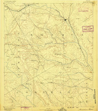
1888 · Meridian
USGS Topo · 1:125,000
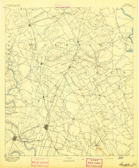
1892 · Temple
USGS Topo · 1:125,000
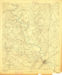
1892 · Waco
USGS Topo · 1:125,000
1894 · Meridian
USGS Topo · 1:125,000
1894 · Gatesville
USGS Topo · 1:125,000
1920 · Waco
USGS Topo · 1:125,000
1924 · Waco 3-d
USGS Topo · 1:48,000
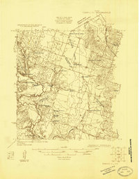
1924 · Temple 2-C
USGS Topo · 1:48,000
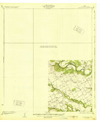
1931 · Valley Mills
USGS Topo · 1:62,500
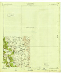
1931 · Mc Gregor
USGS Topo · 1:62,500