2000s (21st Century) Maps of Midland, Texas
Explore 30 historic maps of Midland from the 2000s (21st Century). These maps offer a rare glimpse into what life looked like during the 2000s — showing old roads, neighborhoods, homes, and landmarks that have changed or disappeared over time.
Whether you're researching your family's past, planning a metal detecting trip, or studying how Midland's landscape evolved across the 2000s, these high-resolution maps are a powerful tool for exploring the history of this region.
- Focus on a specific era: All maps on this page are from the 2000s, giving you a focused view of this time period.
- See what’s changed: Compare century-old streets, trails, and buildings to today's modern landscape using overlays and satellite layers.
- Research with precision: Use these maps for genealogy, historical research, land use analysis, or educational projects.
- View, download, or print: Maps are fully viewable online in high resolution, and can be downloaded or printed for your own records.
Start exploring Midland's history through authentic maps from the 2000s. This is your window into the past.
Midland, TX maps
(30)- 2010 Map of Southeast Midland, 2010 Print
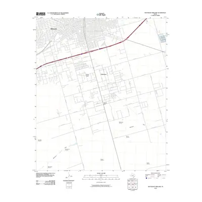 2010 Southeast Midland2010 Print · USGSMidland expands into the Permian Basin plains during the early twenty-first century as urban growth meets ranching traditions. Genealogists and historians can trace the development of Cotton Flat and Sandy Acres alongside local landmarks like the Rattlesnake Raceway and numerous family windmills.
- 2010 Map of North Curtis Ranch, 2010 Print
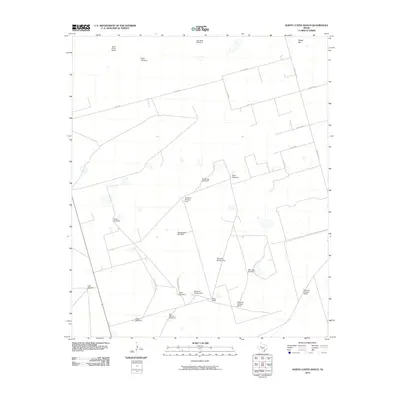 2010 North Curtis Ranch2010 Print · USGSMidland County ranching territory is captured here in the early 21st century, showing the essential water and road networks of the Permian Basin. Genealogists and researchers can locate family-named landmarks like North Curtis Ranch, Billy Pees Windmill, and Glass Ranch.
- 2010 Map of Southwest Midland, 2010 Print
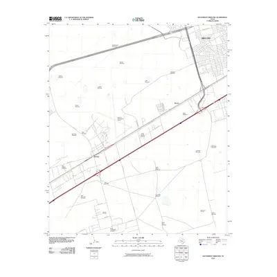 2010 Southwest Midland2010 Print · USGSMidland and the surrounding Permian Basin plains are captured here during a period of industrial and urban expansion. Genealogists and historians can trace the infrastructure of the Warfield Oil Field or locate family landmarks like Largent Windmill and Darty Windmill.
- 2010 Map of Northwest Midland, 2010 Print
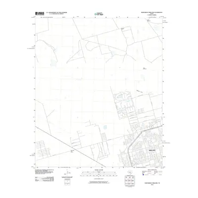 2010 Northwest Midland2010 Print · USGSMidland enters a period of modern suburban expansion during the early twenty-first century as new residential grids push into the surrounding ranchland. Genealogists and local historians can trace the development of neighborhood clusters near Midland Draw or locate landmarks like Cowden Ranch and High Sky Girls Ranch.
- 2010 Map of Odessa NE, 2010 Print
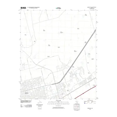 2010 Odessa NE2010 Print · USGSOdessa pushes northeast into the Permian Basin plains during this period of 21st-century growth. Researchers can trace the expansion of neighborhood grids and find numerous ranching landmarks, from Ratliff Ranch to the Pear Tree Windmill and Solo.
- 2010 Map of Northeast Midland, 2010 Print
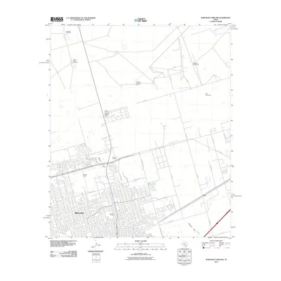 2010 Northeast Midland2010 Print · USGSMidland's northern expansion is captured here during a period of significant growth into the surrounding Permian Basin ranchland. Genealogists and local historians can trace the development of Fairview Cemetery and Rest Haven Cemetery or locate landmarks like China Grove Windmill and the Midland Airpark.
- 2012 Map of North Curtis Ranch, 2012 Print
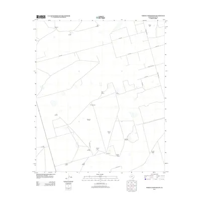 2012 North Curtis Ranch2012 Print · USGSMidland County ranching life is documented here in the early twenty-first century, showing a landscape defined by water management and vast property lines. Genealogists and historians can trace local landmarks like North Curtis Ranch, Broke Leg Windmill, and Billy Pees Windmill.
- 2012 Map of Northwest Midland, 2012 Print
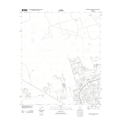 2012 Northwest Midland2012 Print · USGSNorthwest Midland at the start of the 2010s shows the meeting point of ranching heritage and modern suburban growth. Genealogists and local historians can trace the transition from Cowden Ranch to new residential hubs along Trobaugh Blvd and Avalon.
- 2012 Map of Northeast Midland, 2012 Print
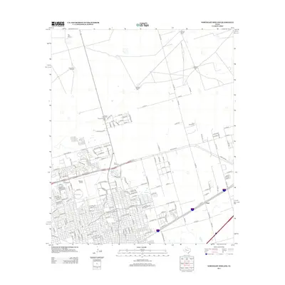 2012 Northeast Midland2012 Print · USGSMidland's northeastern perimeter shows the meeting point of West Texas suburban growth and the traditional ranching landscape in the early twenty-first century. Researchers can locate family sites near Rest Haven Cem, trace aviation at Midland Airpark, or follow ranch roads to China Grove Windmill.
- 2012 Map of Odessa NE, 2012 Print
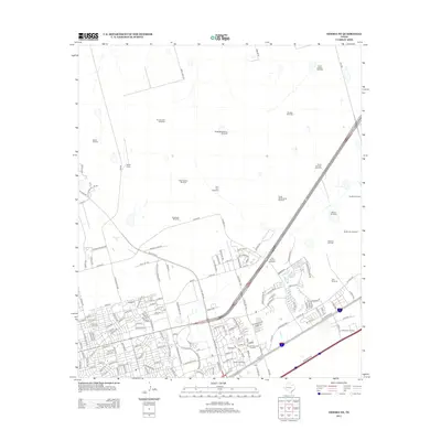 2012 Odessa NE2012 Print · USGSMidland and Odessa's northeastern fringe in the early 21st century reveals a landscape shaped by petroleum and ranching heritage. Local historians and genealogists can trace family-named landmarks like Ratliff Ranch and legacy sites such as Sunset Memorial Gardens or the Jeffs Windmill.
- 2012 Map of Southeast Midland, 2012 Print
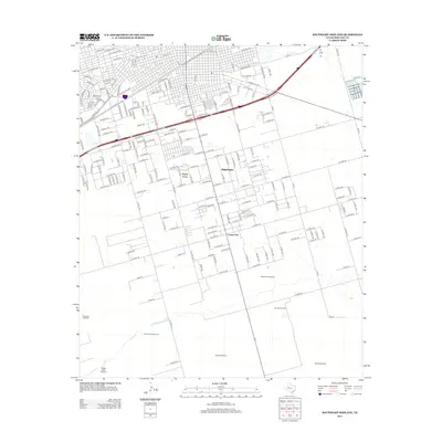 2012 Southeast Midland2012 Print · USGSCovers Midland, including Cotton Flat, Midland County, and other nearby areas
- 2012 Map of Southwest Midland, 2012 Print
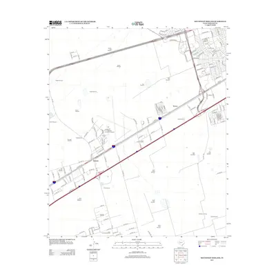 2012 Southwest Midland2012 Print · USGSMidland County's southwest reaches are seen here during a period of intense industrial and aviation growth. Researchers can trace the layout of the Warfield Oil Field or locate legacy ranching landmarks like Nobles East Windmill and the settlement of Warfield.
- 2016 Map of Northeast Midland, 2016 Print
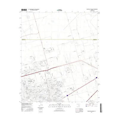 2016 Northeast Midland2016 Print · USGSMidland reached toward the Martin County line in the mid-2010s as the city's residential and industrial grid expanded north. Genealogists and researchers can trace family sites at Fairview Cemetery or locate aviation landmarks like Midland Airpark and Ryan Aerodrome.
- 2016 Map of Northwest Midland, 2016 Print
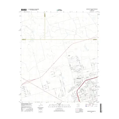 2016 Northwest Midland2016 Print · USGSMidland expands into the Permian Basin during this era of 21st-century growth. Genealogists and local historians can trace new residential developments near Tattenham Corner, Midland Draw, and the Widener Strip.
- 2016 Map of North Curtis Ranch, 2016 Print
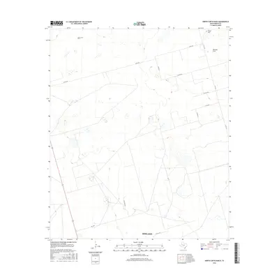 2016 North Curtis Ranch2016 Print · USGSMidland County ranching territory is surveyed here in the mid-2010s, showcasing the expansive land holdings and rural road networks of West Texas. Genealogists and local researchers can trace the reach of the North Curtis Ranch and the course of Mustang Draw or Range Hill.
- 2016 Map of Southeast Midland, 2016 Print
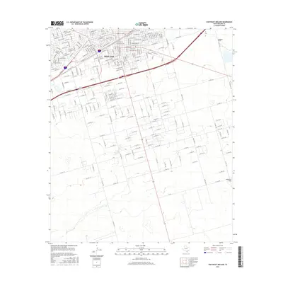 2016 Southeast Midland2016 Print · USGSMidland’s southeastern expansion into the Permian Basin plains is captured here during the mid-2010s. Researchers can trace the transition from urban streets like Stokes Ave to the vast grid of county roads and the natural paths of Midland Draw and Monahans Draw.
- 2016 Map of Odessa NE, 2016 Print
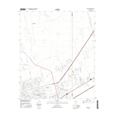 2016 Odessa NE2016 Print · USGSOdessa and Gardendale are shown at a peak of modern expansion along the Ector and Midland county line. Researchers can trace the development of The Univ of Texas of the Permian Basin and local landmarks like Sunset Memorial Gardens.
- 2016 Map of Southwest Midland, 2016 Print
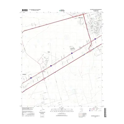 2016 Southwest Midland2016 Print · USGSMidland and Odessa converge in this 2016 survey of the Permian Basin’s central transit corridor. Local historians can trace the growth of Midland neighborhoods and find landmarks like Midland International Airport and Warfield.
- 2019 Map of Southeast Midland, 2019 Print
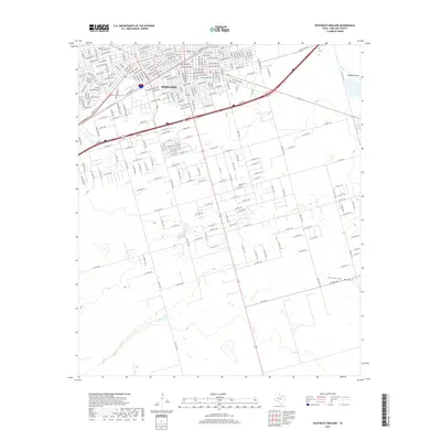 2019 Southeast Midland2019 Print · USGSMidland's southeastern expansion is documented here during a period of significant 21st-century growth. Researchers can trace the development of neighborhood street grids like E California Ave and follow the natural paths of Midland Draw and Monahans Draw.
- 2019 Map of Odessa NE, 2019 Print
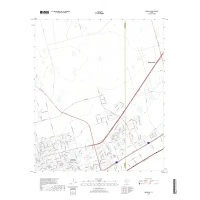 2019 Odessa NE2019 Print · USGSThe northern reaches of Odessa and the border with Midland are shown here during a period of steady suburban expansion. Researchers can trace the development of residential grids and landmarks like Sunset Memorial Gardens and Ne Loop 338.
- 2019 Map of Southwest Midland, 2019 Print
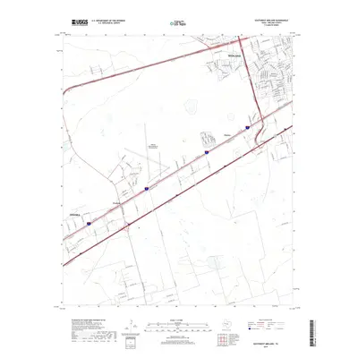 2019 Southwest Midland2019 Print · USGSMidland and the surrounding plains are captured in this recent survey during a period of significant industrial and aviation growth. Researchers can trace the layout of Midland International Air and Space Port and find smaller locales like Warfield and Bounce.
- 2019 Map of Northwest Midland, 2019 Print
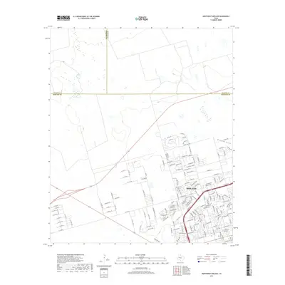 2019 Northwest Midland2019 Print · USGSMidland’s northwest reaches show the intersection of rapid suburban growth and the open Permian Basin landscape in this late 2010s survey. Researchers can trace development patterns along W Loop 250 N or find petroleum-inspired street names like Humble Ave and Shell Ave.
- 2019 Map of North Curtis Ranch, 2019 Print
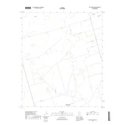 2019 North Curtis Ranch2019 Print · USGSMidland County ranch lands are documented here in the late 2010s, showing the intersection of traditional West Texas agriculture and modern infrastructure. Genealogists and land researchers can trace property boundaries and access routes like Lazy Ranch Rd, North Curtis Ranch, and the area around Range Hill.
- 2019 Map of Northeast Midland, 2019 Print
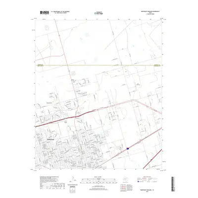 2019 Northeast Midland2019 Print · USGSMidland’s northern expansion is captured here in the late twenty-teens as residential neighborhoods and aviation hubs met the open Texas ranchlands. Genealogists and historians can locate Fairview Cem and trace developments near Midland Airpark and the Midland Draw.
- 2022 Map of North Curtis Ranch, 2022 Print
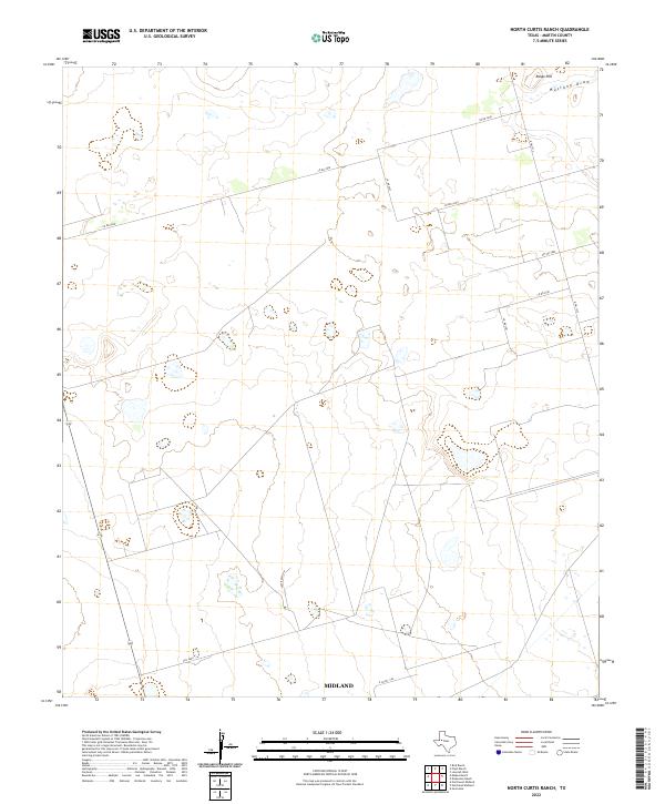 2022 North Curtis Ranch2022 Print · USGSMartin County ranch lands are shown in recent years as the landscape balances traditional cattle operations with energy infrastructure. Researchers can trace rural property access and topography along Mustang Draw, Range Hill, and Lazy Ranch Rd.
Showing maps 1-25 of 30
Top cities near Midland
Top neighborhoods of Midland
- Bounce historical maps
- Saddle Club Ranch Estates historical maps
- Bigelow Estates historical maps
- Bizzell-Kiser historical maps
- Cloverdale historical maps
- Bob Nelson historical maps
See more
Frequently asked questions
- What are the different types of historical maps available for Midland?
- What is the oldest map of Midland?
- Where can I purchase historical maps of Midland for my home or office?
- Where can I download high-res historical maps of Midland?
- Are there historical topographic maps available for Midland?
- Is there historical aerial imagery available for Midland?
- Where are historical maps of Midland sourced from?